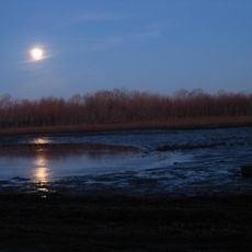
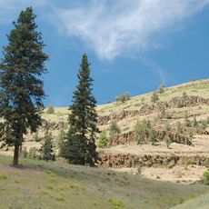
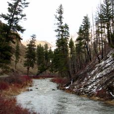
Battle Mountain Forest State Scenic Corridor, State park in Umatilla County, Oregon.
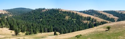
This scenic corridor follows U.S. Route 395 through Umatilla County with forests of ponderosa pine, larch, Douglas fir, and spruce covering the mountain slopes. Several trails wind through the wooded area, providing access to different sections of the protected forest for walking and exploring.
This location saw one of the final conflicts between Native Americans and settlers in eastern Oregon during the 1800s. The battles that took place here marked a turning point in the region's past.
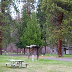
The Civilian Conservation Corps built water systems and granite fireplaces here in the 1930s, creating structures that visitors still use during their visit. These stone buildings connect people today to the effort that young workers put into maintaining this forest.
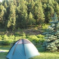
The best time to visit is between May and October when trails are most accessible and weather conditions are favorable. Wear sturdy shoes and bring water, as trails can range from short walks to longer hikes through the forest.
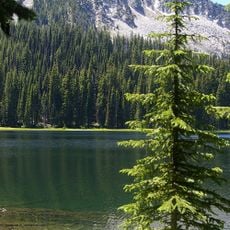
The forest provides habitat for specialized bird species such as Red Crossbill, Mountain Chickadee, Nuthatches, and various woodpeckers. This concentration of forest birds makes the area rewarding for people interested in bird watching.
The community of curious travelers
AroundUs brings together thousands of curated places, local tips, and hidden gems, enriched daily by 60,000 contributors worldwide.