North Fork John Day Wilderness, Wilderness area within the Blue Mountains, northeastern Oregon, United States.
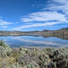
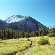
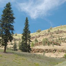
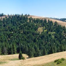
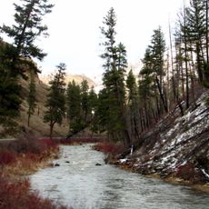
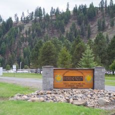
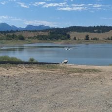
The North Fork John Day Wilderness covers four separate units in the Blue Mountains, including a main 85,000-acre unit along the North Fork John Day River and about 6,000 acres of the Vinegar Hill-Indian Rock Scenic Area. It spans rolling benchlands, steep ridges, alpine lake basins and the granite outcrops of the Greenhorn Mountains at 8,100 feet, with dense conifer stands of Douglas-fir, white fir, western larch and lodgepole pine.
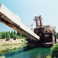
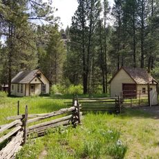
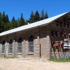
This region served as a major gold and silver mining hub during the mid-1800s, with thousands of prospectors seeking fortune, leaving behind visible remnants including old structures, foundations, dredge workings, and mining ditches throughout the wilderness.
The name John Day comes from a Virginia fur trader of that name who was robbed and left naked by Native Americans on the Columbia River in 1812; the river and its North Fork carry his name. Mining camps of the 1860s left structures, foundations and dredged ditches that are deliberately left to decay, as the Wilderness Act requires no permanent human works.
Visitors can explore approximately 133 miles of designated trails including the 24-mile Elkhorn Crest Trail and 25-mile North Fork John Day Trail, with access points available from nearby towns such as Dale and Ukiah via Forest Service roads.
The wilderness contains a 39-mile stretch of the North Fork John Day River designated as Wild and Scenic, supporting chinook salmon and steelhead migration runs while maintaining some of the clearest waters in the region.
The community of curious travelers
AroundUs brings together thousands of curated places, local tips, and hidden gems, enriched daily by 94,501 contributors worldwide.