Wallowa County

Log in to your account

AroundUs is a community-driven map of interesting places, built by curious explorers like you. It grows with every review, story, and photo you share.
Connect to save your favorite spots, contribute locations, and create personalized routes.
By continuing, you accept our Terms and Conditions and our Privacy Policy
Add to collection
Map
Suggest a change
Share

Wallowa County, Administrative division in northeastern Oregon, United States.

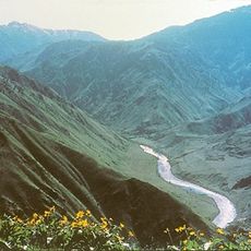
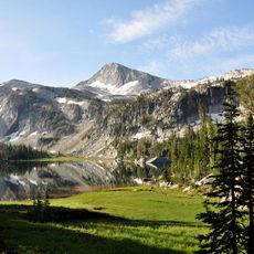
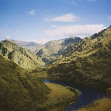
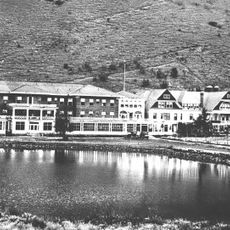
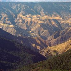
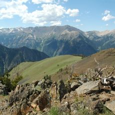
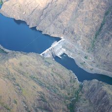
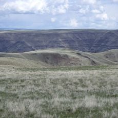
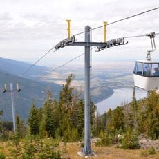
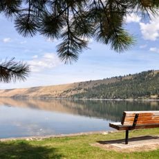
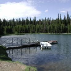
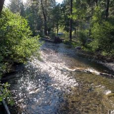
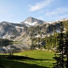
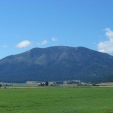
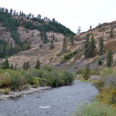
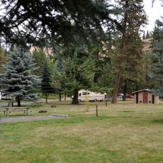
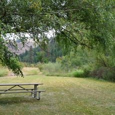
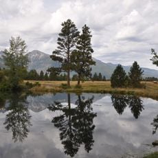
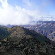
Wallowa County is an administrative division in the mountains and forests of northeastern Oregon, home to the shimmering Wallowa Lake. Rivers flow through the region, creating a landscape that blends nature with rural communities.

The county was established in 1887 from the eastern portions of Union County, with boundary adjustments made as the region developed. These changes followed the settlement patterns and growth of local communities.

The Nez Perce people left deep roots in Wallowa Valley, and their stories shape the region's identity today. Visitors encounter memorials and historic sites throughout the area that honor this connection.

Enterprise serves as the main hub and administrative center where visitors can find local information and services. Most places are accessible via small road networks, so having a vehicle helps for exploring the region.

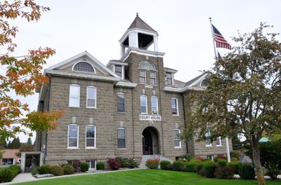
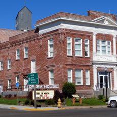
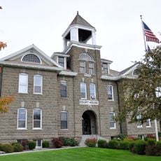
The 1909 Wallowa County Courthouse was built from local volcanic stone and displays Romanesque Revival architecture. The historic building is listed on the National Register and remains a distinctive landmark in the community.

Location: Oregon

Inception: 1864

Capital city: Enterprise

Shares border with: Columbia County, Garfield County, Asotin County, Nez Perce County, Idaho County, Adams County, Baker County, Union County, Umatilla County

Website: http://co.wallowa.or.us

GPS coordinates: 45.58000,-117.17000

Latest update: December 7, 2025 10:05

Photos
Around this place
Show the full map
Hells Canyon
United States of America

Hells Canyon

47.6 km
Wallowa Mountains
United States of America

Wallowa Mountains

39.2 km
Eagle Cap Wilderness
United States of America

Eagle Cap Wilderness

43.2 km
Hells Canyon National Recreation Area
United States of America

Hells Canyon National Recreation Area

52.2 km
Hells Canyon Wilderness
United States of America

Hells Canyon Wilderness

52.2 km
Sacajawea Peak
United States of America

Sacajawea Peak

38.5 km
Hells Canyon Dam
United States of America

Hells Canyon Dam

52.5 km
Zumwalt Prairie
United States of America

Zumwalt Prairie

7.7 km
Wallowa Lake Tramway
United States of America

Wallowa Lake Tramway

35.2 km
Wallowa Lake State Park
United States of America

Wallowa Lake State Park

34.8 km
Jubilee Lake
United States of America

Jubilee Lake

67.6 km
Catherine Creek State Park
United States of America

Catherine Creek State Park

65 km
Eagle Cap
United States of America

Eagle Cap

47.5 km
Mount Howard
United States of America

Mount Howard

35.6 km
Wallowa Lake Highway Forest State Scenic Corridor
United States of America

Wallowa Lake Highway Forest State Scenic Corridor

40.4 km
Minam State Recreation Area
United States of America

Minam State Recreation Area

48.3 km
Eagle Cap Excursion Train
United States of America

Eagle Cap Excursion Train

58.3 km
Wenaha Wildlife Area
United States of America

Wenaha Wildlife Area

45.3 km
Wallowa River Rest Area
United States of America

Wallowa River Rest Area

35.9 km
Cove Hot Springs Pool
United States of America

Cove Hot Springs Pool

59.8 km
Elgin Opera House
United States of America

Elgin Opera House

58.3 km
Iwetemlaykin State Heritage Site
United States of America

Iwetemlaykin State Heritage Site

26.9 km
Billy Meadows Guard Station
United States of America

Billy Meadows Guard Station

29.5 km
Sheep Rock
United States of America

Sheep Rock

58.2 km
Wallowa County Courthouse
United States of America

Wallowa County Courthouse

19.2 km
OK Theatre
United States of America

OK Theatre

19.2 km
Abel E. Eaton House
United States of America

Abel E. Eaton House

68.1 km
Wallowa Ranger Station
United States of America

Wallowa Ranger Station

28.5 km
Show the full map
Reviews

Visited this place? Tap the stars to rate it and share your experience / photos with the community! Try now! You can cancel it anytime.

Administrative divisions
« Wallowa County - Administrative division in northeastern Oregon, United States » is provided by Around Us (aroundus.com). Images and texts are derived from Wikimedia project under a Creative Commons license. You are allowed to copy, distribute, and modify copies of this page, under the conditions set by the license, as long as this note is clearly visible.

Discover hidden gems everywhere you go!

From secret cafés to breathtaking viewpoints, skip the crowded tourist spots and find places that match your style. Our app makes it easy with voice search, smart filtering, route optimization, and insider tips from travelers worldwide. Download now for the complete mobile experience.

Around Us App Screenshot

A unique approach to discovering new places

Le Figaro

All the places worth exploring

France Info

A tailor-made excursion in just a few clicks

20 Minutes