Hells Canyon National Recreation Area, National Recreation Area in eastern Oregon and western Idaho, United States.
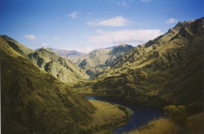
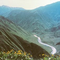
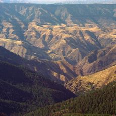
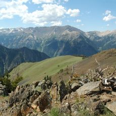
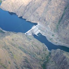
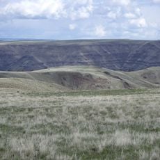
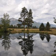
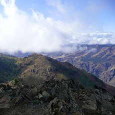
Hells Canyon National Recreation Area straddles the border between Oregon and Idaho, with the Snake River carving through towering canyon walls that plunge over 7,900 feet at their deepest points. The area encompasses roughly 350,000 acres of wilderness containing steep terrain, riverside flats, and ridgelines that rise dramatically from the river bottom.
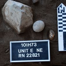
Congress established this protected area in December 1975 to safeguard the archaeological heritage and rock art left by Native Americans along the Snake River. The canyon had served as home to multiple Indigenous nations for thousands of years before formal protection began.
The Nez Perce, Shoshone, and other Native American peoples left rock art across the canyon walls, marking their long presence in this region. These images remain visible today, connecting visitors to thousands of years of human connection to the land.
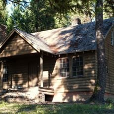
The area offers about 900 miles of hiking trails, 17 established campgrounds, and opportunities for rafting, fishing, and horseback riding at different locations. Visitors should check access conditions beforehand, as the terrain is remote and weather can change quickly throughout the seasons.
A historic trail runs along the Idaho border, built between the 1800s and 1930s using hand labor and period engineering techniques. Sections of this original pathway remain visible today and reveal how early visitors traveled through the remote canyon.
The community of curious travelers
AroundUs brings together thousands of curated places, local tips, and hidden gems, enriched daily by 60,000 contributors worldwide.