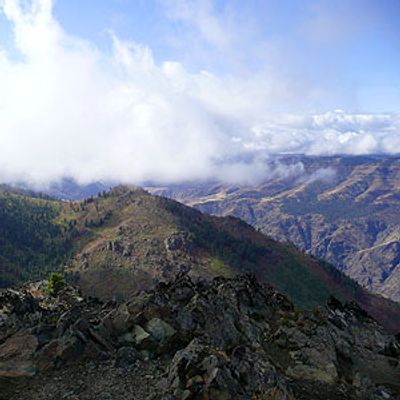
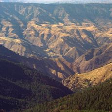
Sheep Rock, National Natural Landmark mountain in Idaho, US
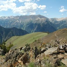
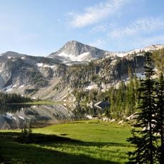
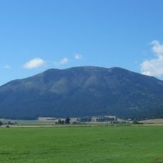
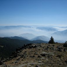
Sheep Rock is a mountain summit in Idaho rising to approximately 3,300 meters and defined by a long broad ridge that slopes down in the middle like a saddle. Two distinct high points anchor each end of this ridge formation, giving the mountain its recognizable shape.
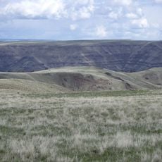
The mountain held significance for Native American tribes who used it as a vantage point to observe the movement of game animals across the landscape. This position made it valuable for tracking seasonal patterns important to their way of life.
The mountain serves as a gathering place for hikers and climbers from across the region who seek connection with the natural landscape. The summit register documents countless visits, reflecting how the place marks personal outdoor achievements.
Multiple climbing routes lead to the summit, with some involving significant elevation gain over several miles. Conditions on the mountain change with the season, so visitors should come prepared with appropriate gear for their chosen route.
The northeast face presents a steep and technical challenge that demands specialized climbing equipment and winter climbing skills. This demanding section is particularly notable in early season when ice and snow make the route significantly harder.
The community of curious travelers
AroundUs brings together thousands of curated places, local tips, and hidden gems, enriched daily by 60,000 contributors worldwide.