Hells Canyon

Log in to your account

AroundUs is a community-driven map of interesting places, built by curious explorers like you. It grows with every review, story, and photo you share.
Connect to save your favorite spots, contribute locations, and create personalized routes.
By continuing, you accept our Terms and Conditions and our Privacy Policy
Add to collection
Map
Suggest a change
Share

Hells Canyon, River canyon between Oregon and Idaho, United States.

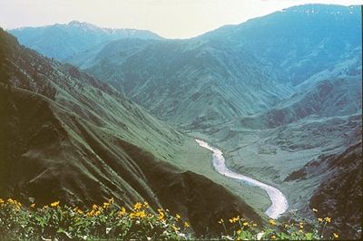
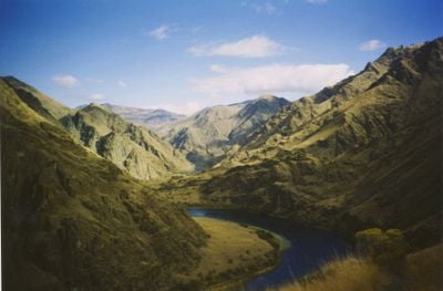
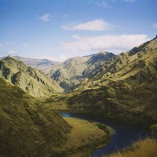
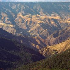
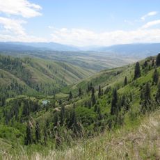
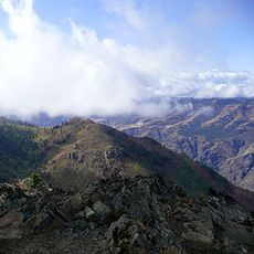
Hells Canyon is a river gorge between Oregon and Idaho, carved by the Snake River into layered rock. The depth reaches roughly 2,400 meters (around 8,000 feet), making this the deepest gorge on the continent.

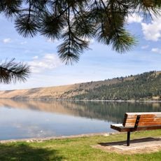
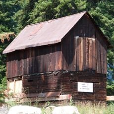
Nez Perce and Shoshone tribes lived along the river for thousands of years, relying on salmon runs for food. White settlers arrived in the 1860s seeking gold, which displaced the original way of life.

The name dates from the 1800s when early trappers and miners found the passage so difficult they used the word hell. Hikers can still spot ancient rock carvings along the lower ledges today, often showing animal figures and human shapes.

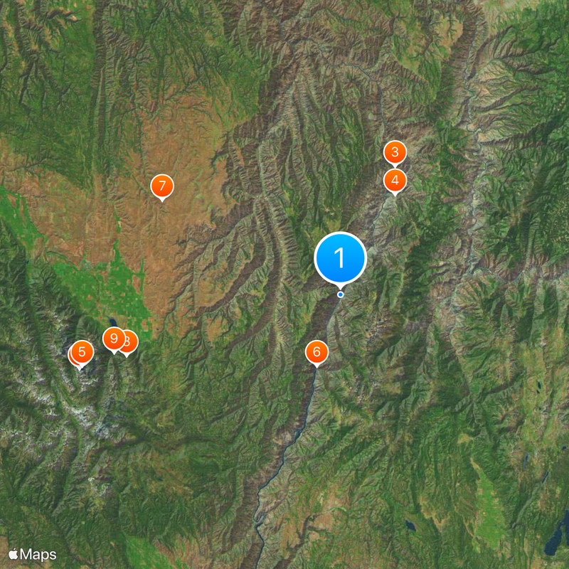
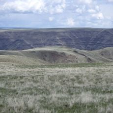
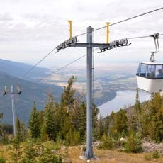
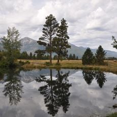
Three access roads lead to different viewpoints along the river, with campgrounds and information stations near the trailheads. Spring and fall offer the mildest weather, while midsummer can become very hot at the bottom.

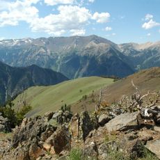
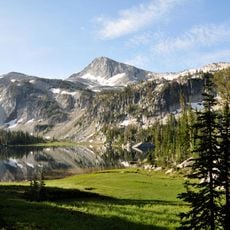
The elevation difference between the river at roughly 430 meters (1,400 feet) and the peaks above 2,700 meters (9,000 feet) creates several climate zones in one gorge. Alpine flowers grow on the slopes alongside desert plants, each adapted to its elevation band.

Location: Oregon

Location: Idaho

GPS coordinates: 45.37140,-116.63800

Latest update: December 4, 2025 23:42

Around this place
Show the full map
Wallowa Mountains
United States of America

Wallowa Mountains

53.9 km
Hells Canyon National Recreation Area
United States of America

Hells Canyon National Recreation Area

27.6 km
Hells Canyon Wilderness
United States of America

Hells Canyon Wilderness

22.6 km
Sacajawea Peak
United States of America

Sacajawea Peak

53.2 km
Hells Canyon Dam
United States of America

Hells Canyon Dam

15.1 km
Zumwalt Prairie
United States of America

Zumwalt Prairie

40 km
Wallowa Lake Tramway
United States of America

Wallowa Lake Tramway

44.2 km
Wallowa Lake State Park
United States of America

Wallowa Lake State Park

46.4 km
Eagle Cap
United States of America

Eagle Cap

56.9 km
Mount Howard
United States of America

Mount Howard

44.1 km
White Bird Grade
United States of America

White Bird Grade

57.9 km
Iwetemlaykin State Heritage Site
United States of America

Iwetemlaykin State Heritage Site

46 km
Sheep Rock
United States of America

Sheep Rock

20.2 km
Wallowa County Courthouse
United States of America

Wallowa County Courthouse

50.3 km
OK Theatre
United States of America

OK Theatre

50.5 km
Cornucopia Jailhouse
United States of America

Cornucopia Jailhouse

59.7 km
College Creek Ranger Station
United States of America

College Creek Ranger Station

13.3 km
William P. Warnock House
United States of America

William P. Warnock House

49.6 km
First Bank of Joseph
United States of America

First Bank of Joseph

46.3 km
Enterprise Public Library
United States of America

Enterprise Public Library

50.2 km
Flora School
United States of America

Flora School

52.5 km
Dr. J. W. Barnard Building and First National Bank of Joseph
United States of America

Dr. J. W. Barnard Building and First National Bank of Joseph

46.2 km
Lick Creek Guard Station
United States of America

Lick Creek Guard Station

38.6 km
Col. E. M. Heigho House
United States of America

Col. E. M. Heigho House

52.5 km
Alvin M. and Betty Josephy Library of Western History and Culture
United States of America

Alvin M. and Betty Josephy Library of Western History and Culture

46.4 km
Enterprise I.O.O.F. Hall
United States of America

Enterprise I.O.O.F. Hall

50.2 km
Matterhorn Village
United States of America

Matterhorn Village

45.8 km
Hat Point Fire Lookout Tower
United States of America

Hat Point Fire Lookout Tower

7.6 km
Show the full map

Reviews

Visited this place? Tap the stars to rate it and share your experience / photos with the community! Try now! You can cancel it anytime.

« Hells Canyon - River canyon between Oregon and Idaho, United States » is provided by Around Us (aroundus.com). Images and texts are derived from Wikimedia project under a Creative Commons license. You are allowed to copy, distribute, and modify copies of this page, under the conditions set by the license, as long as this note is clearly visible.

Discover hidden gems everywhere you go!

From secret cafés to breathtaking viewpoints, skip the crowded tourist spots and find places that match your style. Our app makes it easy with voice search, smart filtering, route optimization, and insider tips from travelers worldwide. Download now for the complete mobile experience.

Around Us App Screenshot

A unique approach to discovering new places

Le Figaro

All the places worth exploring

France Info

A tailor-made excursion in just a few clicks

20 Minutes