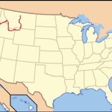
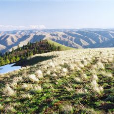
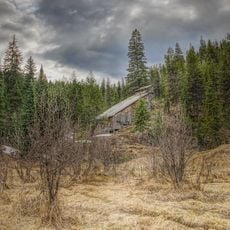
White Bird Grade, road in Idaho County, Idaho
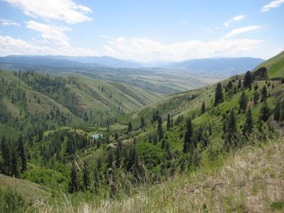
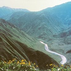
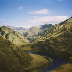
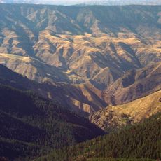
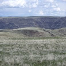
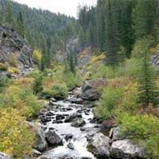
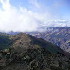
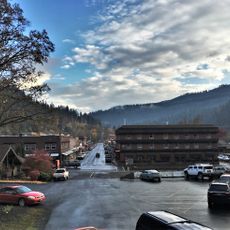
White Bird Grade is a mountain road in Idaho County that winds through hilly terrain with steep slopes and sharp switchbacks. The route curves around rocky outcroppings and is bordered by forests and open grassland throughout its length.
White Bird Grade was constructed in 1920 as a major connection between mountain communities and represented a significant engineering achievement for its time. A newer highway replaced it as the main route in the mid-1970s, though the original road remains historically important.
The road is accessible by car and suitable for a leisurely drive through natural surroundings that change with the seasons. Spring brings green landscapes, summer offers clear skies, and autumn displays colorful foliage across the hills.
The road hosts an annual bike race called 'Just For the Hill of It' where riders tackle the steep mountain climb as a competitive challenge. This local event demonstrates how the historic route continues to draw people seeking both the physical challenge and the story behind this mountainous passage.
The community of curious travelers
AroundUs brings together thousands of curated places, local tips, and hidden gems, enriched daily by 60,000 contributors worldwide.