Harney County

Log in to your account

AroundUs is a community-driven map of interesting places, built by curious explorers like you. It grows with every review, story, and photo you share.
Connect to save your favorite spots, contribute locations, and create personalized routes.
By continuing, you accept our Terms and Conditions and our Privacy Policy
Add to collection
Map
Suggest a change
Share

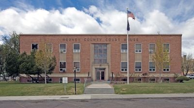
Harney County, Administrative county in southeastern Oregon, US

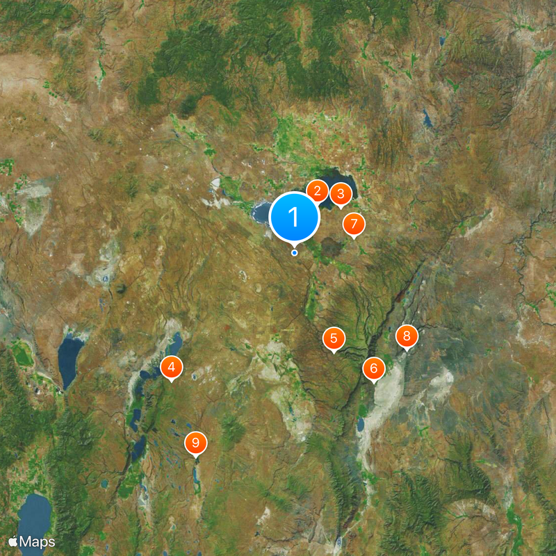
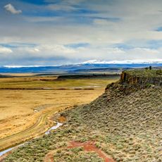
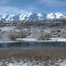
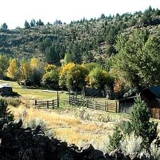
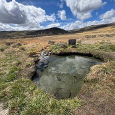
Harney County is a county in southeastern Oregon covering roughly 26,500 square kilometers. The landscape features mountains, high desert plains, and basins with varied geological formations.

The county was established in February 1889 from parts of Grant County. It was named after William Selby Harney, a US Army officer who had a significant presence in the region during earlier military campaigns.

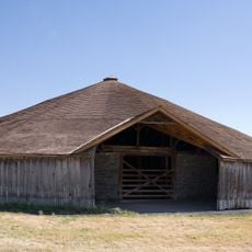
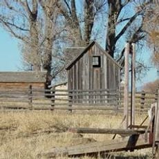
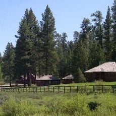
The county maintains strong agricultural traditions with approximately 500 ranches and farms producing cattle, dairy products, and hay throughout the region.

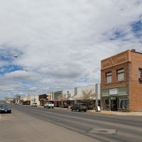
Burns serves as the main town offering services, schools, and supplies for the scattered population. Long distances between settlements mean you should plan travel carefully and allow time for journeys across the county.

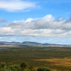
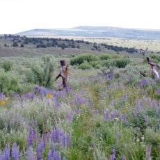
The Malheur wetlands in the northern part provide one of North America's most important stopping points for migrating bird species. Seasonal bird movements attract observers seeking rare species in their natural habitat.

Location: Oregon

Inception: 1889

Capital city: Burns

Shares border with: Crook County, Grant County, Malheur County, Humboldt County, Washoe County, Lake County, Deschutes County

Website: https://harneycountyor.gov

GPS coordinates: 43.07000,-118.97000

Latest update: December 6, 2025 22:04

Photos
Around this place
Show the full map
Malheur National Wildlife Refuge
United States of America

Malheur National Wildlife Refuge

24.1 km
Paisley Caves
United States of America

Paisley Caves

133.4 km
Harney Basin
United States of America

Harney Basin

29.1 km
Fossil Lake
United States of America

Fossil Lake

126.7 km
Lost Forest Research Natural Area
United States of America

Lost Forest Research Natural Area

115.6 km
Hart Mountain National Antelope Refuge
United States of America

Hart Mountain National Antelope Refuge

80.6 km
Steens Mountain Wilderness
United States of America

Steens Mountain Wilderness

48.3 km
Pete French Round Barn
United States of America

Pete French Round Barn

27.5 km
Mickey Hot Springs
United States of America

Mickey Hot Springs

67.1 km
Abert Rim
United States of America

Abert Rim

128.3 km
David L. Shirk Ranch
United States of America

David L. Shirk Ranch

102.9 km
Sod House Ranch
United States of America

Sod House Ranch

22.1 km
Frenchglen Hotel State Heritage Site
United States of America

Frenchglen Hotel State Heritage Site

27.4 km
Greaser Petroglyph Site
United States of America

Greaser Petroglyph Site

120.3 km
P Ranch
United States of America

P Ranch

27.8 km
Camp Warner
United States of America

Camp Warner

94.5 km
Chandler State Wayside
United States of America

Chandler State Wayside

130.7 km
Riddle Ranch
United States of America

Riddle Ranch

31.8 km
Stone Bridge and the Oregon Central Military Wagon Road
United States of America

Stone Bridge and the Oregon Central Military Wagon Road

106.7 km
Old Camp Casino
United States of America

Old Camp Casino

58.2 km
Double-O Ranch Historic District
United States of America

Double-O Ranch Historic District

36 km
Chickahominy Reservoir
United States of America

Chickahominy Reservoir

74.2 km
Deep Creek Falls
United States of America

Deep Creek Falls

128 km
Allison Ranger Station
United States of America

Allison Ranger Station

107.1 km
Desert Theatre
United States of America

Desert Theatre

57.9 km
Owyhee Canyon
United States of America

Owyhee Canyon

110.2 km
BLM Field Camp
United States of America

BLM Field Camp

104.6 km
BLM Field Camp
United States of America

BLM Field Camp

78.5 km
Show the full map
Reviews

Visited this place? Tap the stars to rate it and share your experience / photos with the community! Try now! You can cancel it anytime.

Administrative divisions
« Harney County - Administrative county in southeastern Oregon, US » is provided by Around Us (aroundus.com). Images and texts are derived from Wikimedia project under a Creative Commons license. You are allowed to copy, distribute, and modify copies of this page, under the conditions set by the license, as long as this note is clearly visible.

Discover hidden gems everywhere you go!

From secret cafés to breathtaking viewpoints, skip the crowded tourist spots and find places that match your style. Our app makes it easy with voice search, smart filtering, route optimization, and insider tips from travelers worldwide. Download now for the complete mobile experience.

Around Us App Screenshot

A unique approach to discovering new places

Le Figaro

All the places worth exploring

France Info

A tailor-made excursion in just a few clicks

20 Minutes