Harney Basin, Endorheic basin in southeastern Oregon, United States.
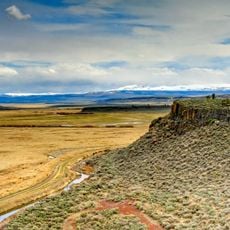
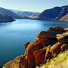
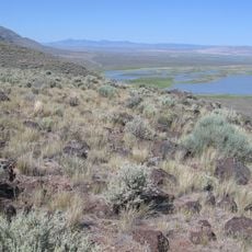
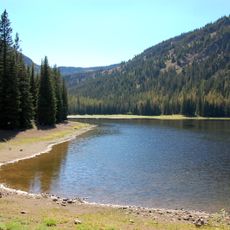
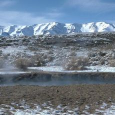
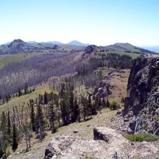
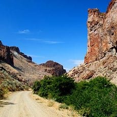
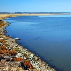
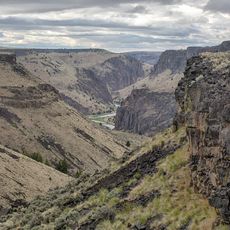
Harney Basin is an endorheic basin of 1,490 square miles in southeastern Oregon, at the northwestern corner of the Great Basin. Its flat centre holds Malheur Lake, a shallow freshwater lake, and Harney Lake, the saline-alkaline sink, fed by the Silvies River from the north and the Donner und Blitzen River from the south. The Blue Mountains bound it north, Steens Mountain southeast.
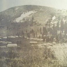
The basin formed about 32,000 years ago when lava flows created the Malheur Gap, cutting it off from the Malheur River. Archaeological evidence shows human habitation from 10,000 years ago. In 1845 Stephen Meek led a party through Stinkingwater Pass on a shortcut; 23 people died before the group found water at the Crooked River. President Ulysses S. Grant established a Paiute reservation around Malheur Lake in 1872, but it was terminated in 1879 after gold discoveries and settlement pressure.
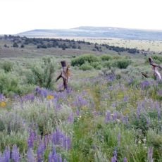
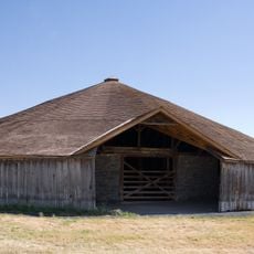
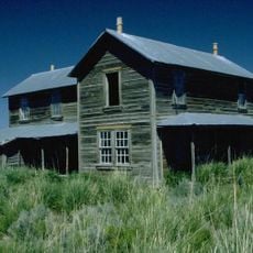
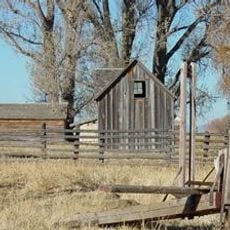
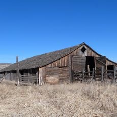
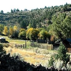
The basin remains defined by ranching operations where cattle are raised and hay is grown across the high desert. These farming practices have shaped how the landscape looks and is used by its residents.
Malheur National Wildlife Refuge at the base of Steens Mountain offers opportunities for wildlife viewing and outdoor activities. Visitors should prepare for harsh weather and the remote location of the area.
The basin formed about 32,000 years ago when lava flows created the Malheur Gap, cutting its watershed off from the Malheur River. Archaeological evidence shows people lived here as early as 10,000 years ago, and prehistoric fishing gear has been found at several sites. Fish species now confined to the Columbia basin suggest the Harney Basin once had a connection to it.
The community of curious travelers
AroundUs brings together thousands of curated places, local tips, and hidden gems, enriched daily by 93,784 contributors worldwide.