Enable Location

We need your location to show you interesting places around you

Discover nearby places

Find interesting locations and hidden gems around you

Precise directions

Get accurate directions and distances to places

Your location is never shared with other users. It's only used when you tap the location button.

Baker County

Log in to your account

Start exploring — it's free

Trusted by 61,481 travelers worldwide

Continue with Google
Continue with Apple
or

We will send you a code to connect

By continuing, you accept our Terms and Conditions and our Privacy Policy

Check your inbox

We've sent a pincode in your inbox. Please enter the code below.

Baker County, Administrative division in northeastern Oregon, United States

Description

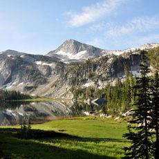
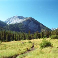
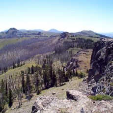
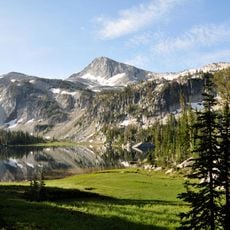
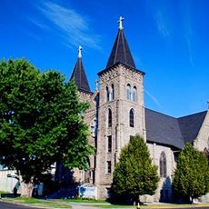
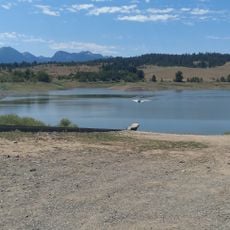
Baker County is an administrative region in northeastern Oregon with mountains, forests, and valleys containing the Eagle Cap Wilderness Area and portions of the Hells Canyon National Recreation Area. The county encompasses sparsely populated lands with natural landscapes and significant protected areas.

History

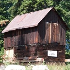
The county was established in 1862 from Wasco County territory and named after Senator Edward Dickinson Baker, who died during the Civil War. This creation followed gold discoveries in the region that sparked economic growth and settlement expansion.

Culture

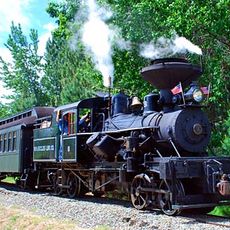
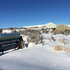
The Oregon Trail heritage remains visible through preserved wagon ruts at Flagstaff Hill near Baker City, showing how early settlers traveled westward. The landscape and local sites keep these pioneer journeys alive in the community's memory.

Practical

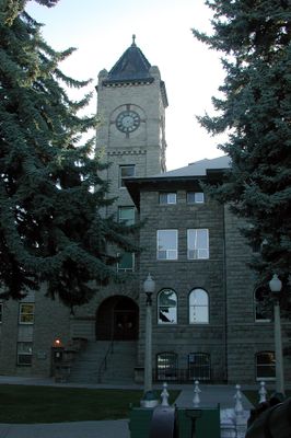
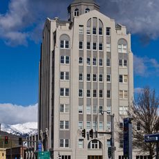
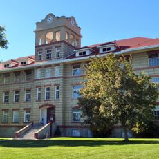
The County Clerk's office in Baker City handles marriage licenses, property records, and local elections as the main administrative center. Visitors should check what documents they need to bring if they require services from local government offices.

Did you know?

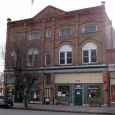
In 1914, Fern Hobbs, the mayor of Copperfield, declared martial law—the first time since the Civil War in Oregon. This unusual action was taken to manage a defiant mining town and made Copperfield a notable chapter in the state's martial law history.

Location
Inception
1862
Capital city
Baker City
Shares border with
Union County, Wallowa County, Adams County, Washington County, Malheur County, Grant County
GPS coordinates
44.71000,-117.67000
Latest update
December 7, 2025 10:07

AroundUs brings together thousands of curated places, local tips, and hidden gems, enriched daily by 60,000 contributors worldwide. Discover all places nearby (Oregon).

Around this place
Eagle Cap Wilderness
United States of America

Eagle Cap Wilderness

61.9 km
Sumpter Valley Gold Dredge
United States of America

Sumpter Valley Gold Dredge

42.4 km
Geiser Grand Hotel
United States of America

Geiser Grand Hotel

14.6 km
Sumpter Valley Railway
United States of America

Sumpter Valley Railway

35.7 km
Farewell Bend State Recreation Area
United States of America

Farewell Bend State Recreation Area

57.1 km
National Historic Oregon Trail Interpretive Center
United States of America

National Historic Oregon Trail Interpretive Center

12.5 km
Unity Lake State Recreation Site
United States of America

Unity Lake State Recreation Site

47.3 km
Rock Creek Butte
United States of America

Rock Creek Butte

36.3 km
Catherine Creek State Park
United States of America

Catherine Creek State Park

49.6 km
Monument Rock Wilderness
United States of America

Monument Rock Wilderness

67 km
Eagle Cap
United States of America

Eagle Cap

58.2 km
Baker City Tower
United States of America

Baker City Tower

14.6 km
Cathedral of Saint Francis de Sales
United States of America

Cathedral of Saint Francis de Sales

14.9 km
Unity Ranger Station
United States of America

Unity Ranger Station

51.1 km
Antlers Guard Station
United States of America

Antlers Guard Station

49 km
Baker Historic District
United States of America

Baker Historic District

14.7 km
Thief Valley Reservoir
United States of America

Thief Valley Reservoir

36.6 km
Abel E. Eaton House
United States of America

Abel E. Eaton House

57.9 km
Baker Municipal Natatorium
United States of America

Baker Municipal Natatorium

14.6 km
Fremont Powerhouse
United States of America

Fremont Powerhouse

66.2 km
Churchill School
United States of America

Churchill School

16.1 km
Cornucopia Jailhouse
United States of America

Cornucopia Jailhouse

49.9 km
Intermountain Institute
United States of America

Intermountain Institute

73.8 km
Wolf Creek Reservoir
United States of America

Wolf Creek Reservoir

47.7 km
Oregon Commercial Company Building
United States of America

Oregon Commercial Company Building

51.2 km
Superintendent's House
United States of America

Superintendent's House

42.2 km
McEwen
United States of America

McEwen

35.6 km
Eltrym Theater
United States of America

Eltrym Theater

14.7 km
Show the full map
Administrative divisions
« Baker County - Administrative division in northeastern Oregon, United States » is provided by Around Us (aroundus.com). Images and texts are derived from Wikimedia project under a Creative Commons license. You are allowed to copy, distribute, and modify copies of this page, under the conditions set by the license, as long as this note is clearly visible.

Discover hidden gems everywhere you go!

From secret cafés to breathtaking viewpoints, skip the crowded tourist spots and find places that match your style. Our app makes it easy with voice search, smart filtering, route optimization, and insider tips from travelers worldwide. Download now for the complete mobile experience.

Around Us App Screenshot

A unique approach to discovering new places

Le Figaro

All the places worth exploring

France Info

A tailor-made excursion in just a few clicks

20 Minutes

Around Us
Travel Guide & Maps
Download

Send to your phone

QR Code
1

Open the camera app on your mobile.

2

Point at the QR code with your camera. A notification will appear.

3

Tap the notification to open the link.