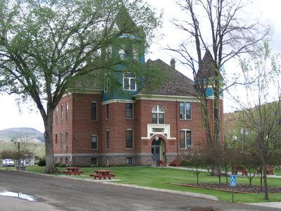
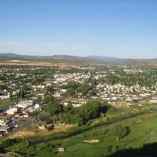
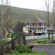
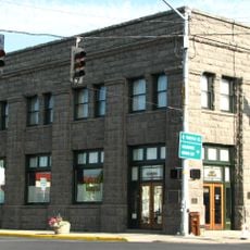
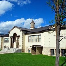
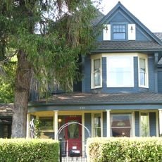
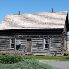
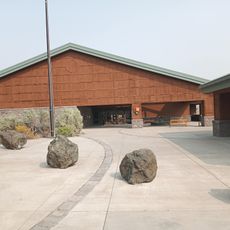
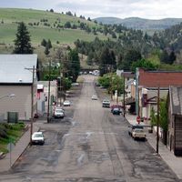
Wheeler County, County seat in central Oregon, United States
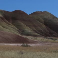
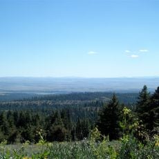
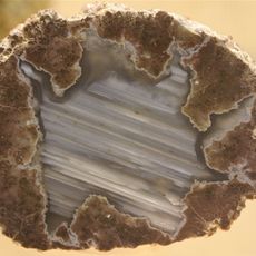
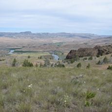
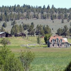
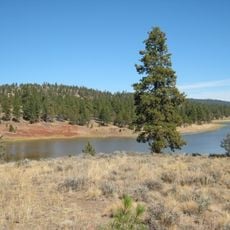
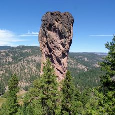
Wheeler County is an administrative division in central Oregon that encompasses natural rock formations and geological features across its landscape. The area contains fossil-bearing lands and distinctive colored hills.
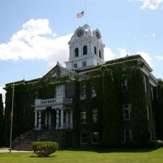
The area became an official county in 1899 during the early expansion of Oregon's administrative system in the West. Its establishment reflected the broader reorganization of territorial governance.
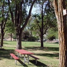
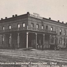
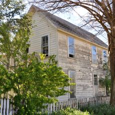
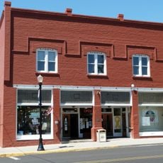
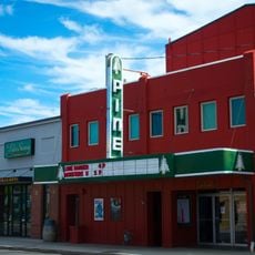
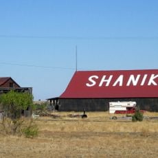
Local communities maintain traditional gatherings in Fossil, Mitchell, and Spray, connecting residents through shared agricultural and outdoor activities throughout the seasons.
Access to the area is provided by Highway 26, which offers multiple entry points for exploration. The road network connects different communities and makes navigation straightforward.
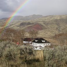
The area supports far fewer people per square unit than most of Oregon, with large empty spaces separating small communities. This low density shapes its quiet character.
The community of curious travelers
AroundUs brings together thousands of curated places, local tips, and hidden gems, enriched daily by 60,000 contributors worldwide.