Enable Location

We need your location to show you interesting places around you

Discover nearby places

Find interesting locations and hidden gems around you

Precise directions

Get accurate directions and distances to places

Your location is never shared with other users. It's only used when you tap the location button.

Tillamook County

Log in to your account

Start exploring — it's free

Trusted by 62,464 travelers worldwide

Continue with Google
Continue with Apple
or

We will send you a code to connect

By continuing, you accept our Terms and Conditions and our Privacy Policy

Check your inbox

We've sent a pincode in your inbox. Please enter the code below.

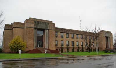
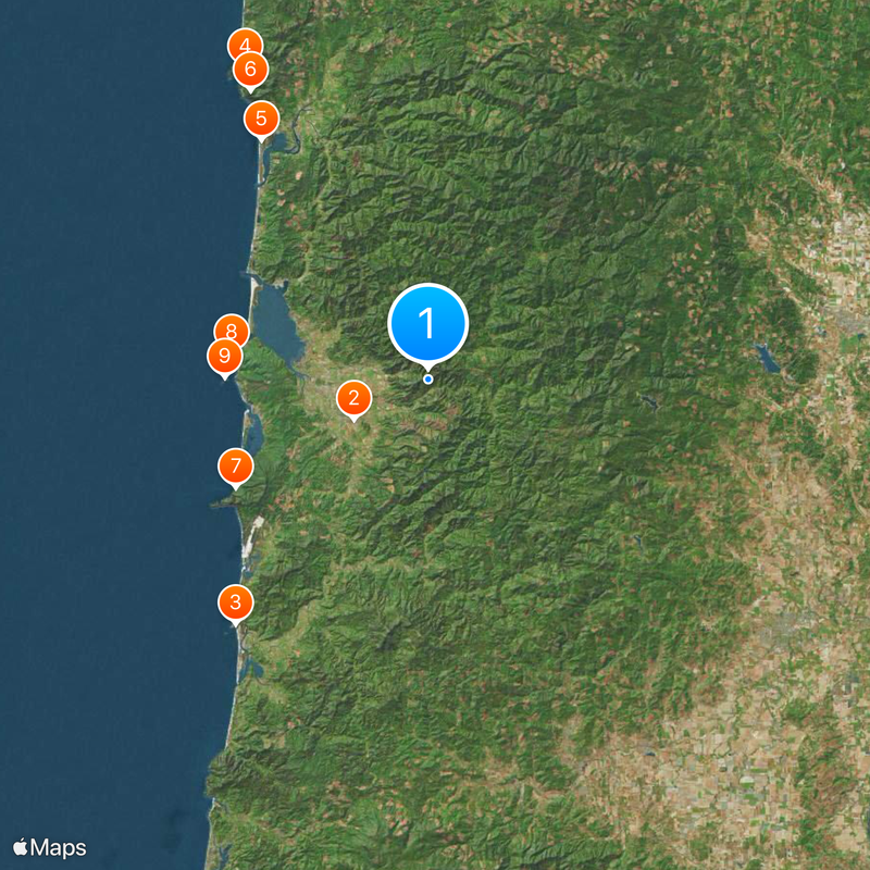
Tillamook County, Administrative division in Oregon, United States.

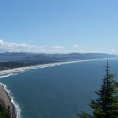
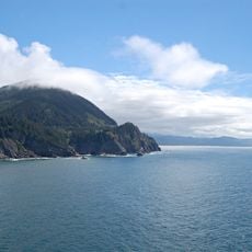
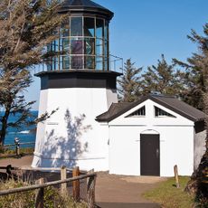
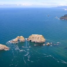
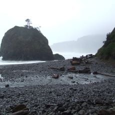
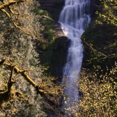
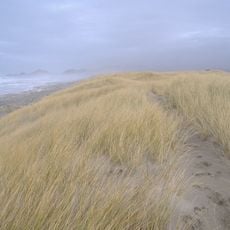
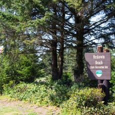
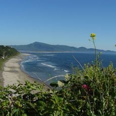
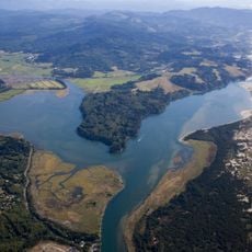
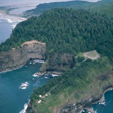
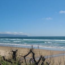
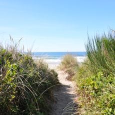
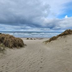
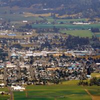
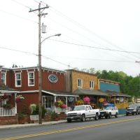
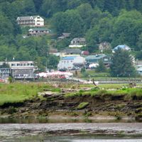
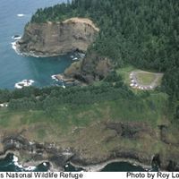
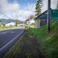
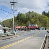
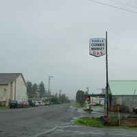
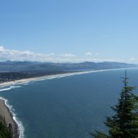
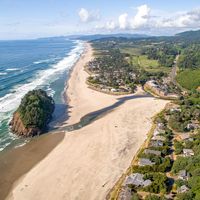
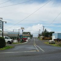
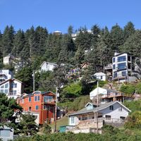
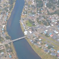
Tillamook County is an administrative division on Oregon's coast with extensive forests and coastal landscapes. The area encompasses several small towns and communities spread across varied terrain between ocean and hills.

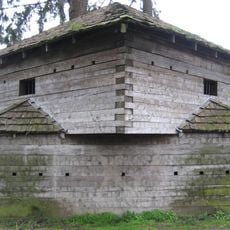
The area was established in 1853 and developed from Native territories into a region known for dairy farming and timber operations. Large forest fires later shaped regional recovery and land management approaches.

The area has long been known for cheese production, and visitors can see local dairies combining traditional methods with modern techniques. This tradition shapes daily community life and draws people who value regional products.

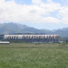
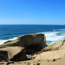
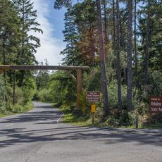
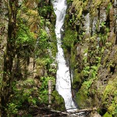
The area offers year-round access to hiking trails, parks, and nature reserves with varying difficulty levels for different visitor types. The best time to explore is from May through September, when weather is milder and more activities are available.

The area experienced major forest fires in the 1930s, leading to one of the region's most ambitious reforestation efforts. This recovery transformed the landscape and made the area a model for forest restoration.

The community of curious travelers

AroundUs brings together thousands of curated places, local tips, and hidden gems, enriched daily by 60,000 contributors worldwide.

Start exploring
Location
Inception
December 15, 1853
Capital city
Tillamook
Shares border with
Clatsop County, Washington County, Yamhill County, Polk County, Lincoln County, Columbia County
GPS coordinates
45.46000,-123.70000
Latest update
December 20, 2025 16:08
Around this place
Tillamook Air Museum
United States of America

Tillamook Air Museum

9.3 km
Cape Kiwanda State Natural Area
United States of America

Cape Kiwanda State Natural Area

34.5 km
Oswald West State Park
United States of America

Oswald West State Park

40 km
Nehalem Bay State Park
United States of America

Nehalem Bay State Park

32.3 km
Neahkahnie Mountain
United States of America

Neahkahnie Mountain

37.5 km
Cape Lookout State Park
United States of America

Cape Lookout State Park

24.4 km
Cape Meares Lighthouse
United States of America

Cape Meares Lighthouse

21.9 km
Three Arch Rocks National Wildlife Refuge
United States of America

Three Arch Rocks National Wildlife Refuge

22.5 km
Short Beach
United States of America

Short Beach

20.9 km
Fort Yamhill
United States of America

Fort Yamhill

44.7 km
Naval Air Station Tillamook
United States of America

Naval Air Station Tillamook

9.4 km
Munson Creek Falls State Natural Site
United States of America

Munson Creek Falls State Natural Site

12 km
Bob Straub State Park
United States of America

Bob Straub State Park

37.2 km
Neskowin Beach State Recreation Site
United States of America

Neskowin Beach State Recreation Site

45.7 km
Oceanside Beach State Recreation Site
United States of America

Oceanside Beach State Recreation Site

21.2 km
Nestucca Bay National Wildlife Refuge
United States of America

Nestucca Bay National Wildlife Refuge

37.4 km
Cape Meares National Wildlife Refuge
United States of America

Cape Meares National Wildlife Refuge

20.8 km
United States of America

Sitka Sedge State Natural Area

29.6 km
United States of America

Rogers Peak

25.7 km
Oceanside Beach State Recreation Site

Oceanside Beach State Recreation Site

21.3 km
Ki-a-Kuts Falls
United States of America

Ki-a-Kuts Falls

24.4 km
Manhattan Beach State Recreation Site
United States of America

Manhattan Beach State Recreation Site

27.8 km
Nehalem Beach
United States of America

Nehalem Beach

30.9 km
United States of America

Clay Myers State Natural Area at Whalen Island

28.6 km
United States of America

Trask Mountain

21.4 km
Coast Guard Station Tillamook Bay
United States of America

Coast Guard Station Tillamook Bay

20.4 km
Wilson River Bridge
United States of America

Wilson River Bridge

11.4 km
United States of America

Sitka Center for Art and Ecology

51.3 km
Show the full map
« Tillamook County - Administrative division in Oregon, United States » is provided by Around Us (aroundus.com). Images and texts are derived from Wikimedia project under a Creative Commons license. You are allowed to copy, distribute, and modify copies of this page, under the conditions set by the license, as long as this note is clearly visible.

Discover hidden gems everywhere you go!

From secret cafés to breathtaking viewpoints, skip the crowded tourist spots and find places that match your style. Our app makes it easy with voice search, smart filtering, route optimization, and insider tips from travelers worldwide. Download now for the complete mobile experience.

Around Us App Screenshot

A unique approach to discovering new places

Le Figaro

All the places worth exploring

France Info

A tailor-made excursion in just a few clicks

20 Minutes

Around Us
Travel Guide & Maps
Download

Send to your phone

QR Code
1

Open the camera app on your mobile.

2

Point at the QR code with your camera. A notification will appear.

3

Tap the notification to open the link.