Enable Location

We need your location to show you interesting places around you

Discover nearby places

Find interesting locations and hidden gems around you

Precise directions

Get accurate directions and distances to places

Your location is never shared with other users. It's only used when you tap the location button.

Josephine County

Log in to your account

Start exploring — it's free

Trusted by 63,023 travelers worldwide

Continue with Google
Continue with Apple
or

We will send you a code to connect

By continuing, you accept our Terms and Conditions and our Privacy Policy

Check your inbox

We've sent a pincode in your inbox. Please enter the code below.

Discussion Reviews 1 Photos
58.6k Popularity

Josephine County, Administrative county in southwestern Oregon, United States.

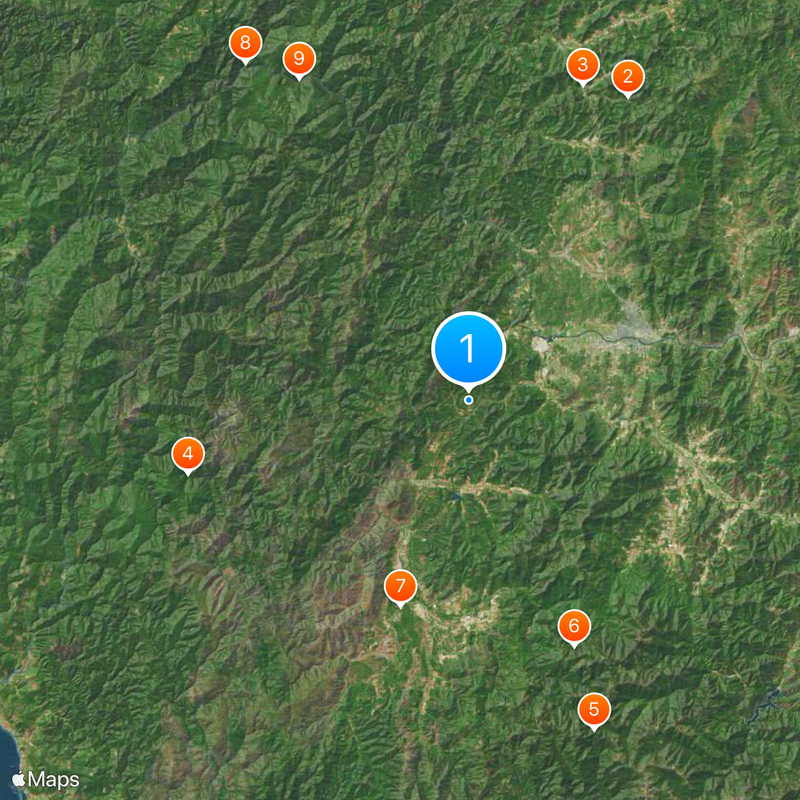
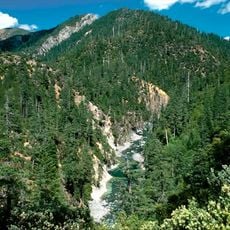
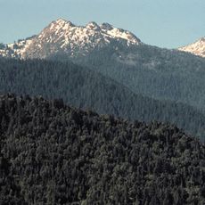
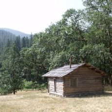
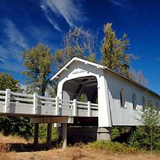
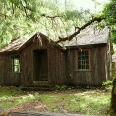
Josephine County is an administrative division in southwestern Oregon, stretching across forested hills and valleys. The Rogue River flows through the area from east to west, shaping the landscape with its canyons and banks.

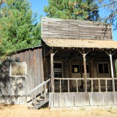
The division formed in 1856 after gold discoveries at Sailor Diggings drew people from different regions. Separation from Jackson County became necessary because administering the new mining settlements required reforms.

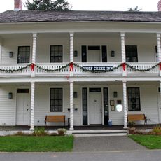
The name honors Josephine Rollins, daughter of an early settler in the region. The Rogue River today draws whitewater rafters and fly fishers who travel the waterway through forested canyons.

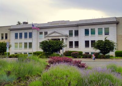
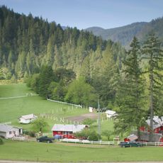
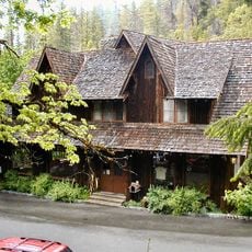
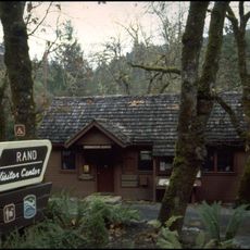
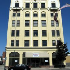
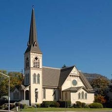
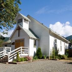
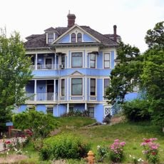
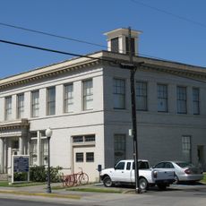
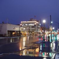
Grants Pass serves as the administrative seat and sits at the crossing of several roads connecting the area. Most facilities lie in smaller communities along the river and main routes.

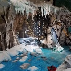
In the early decades of the 20th century, local businessmen dressed as cavemen to entertain visitors. This tradition started to promote tourism and remained linked to the region across generations.

The community of curious travelers

AroundUs brings together thousands of curated places, local tips, and hidden gems, enriched daily by 60,000 contributors worldwide.

Start exploring
Location
Inception
1856
Capital city
Grants Pass
Shares border with
Douglas County, Jackson County, Siskiyou County, Del Norte County, Curry County
GPS coordinates
42.36000,-123.56000
Latest update
December 13, 2025 19:34
Around this place
Golden
United States of America

Golden

40.6 km
Wolf Creek Inn
United States of America

Wolf Creek Inn

39.7 km
Kalmiopsis Wilderness
United States of America

Kalmiopsis Wilderness

34.3 km
Red Buttes Wilderness
United States of America

Red Buttes Wilderness

41.8 km
Oregon Caves Chateau
United States of America

Oregon Caves Chateau

31.7 km
Great Cats World Park
United States of America

Great Cats World Park

25.7 km
Rogue River Ranch
United States of America

Rogue River Ranch

47.9 km
Zane Grey Cabin
United States of America

Zane Grey Cabin

43 km
United States of America

Illinois River Forks State Park

24 km
Oregon Caves Historic District
United States of America

Oregon Caves Historic District

32.1 km
Grave Creek Bridge
United States of America

Grave Creek Bridge

34.2 km
Rand Ranger Station
United States of America

Rand Ranger Station

26.5 km
Whisky Creek Cabin
United States of America

Whisky Creek Cabin

34 km
United States of America

Coquille River Falls

54.9 km
Redwoods Hotel
United States of America

Redwoods Hotel

21.3 km
Cedar Guard Station
United States of America

Cedar Guard Station

25.9 km
United States of America

Chetco Peak

40 km
Newman United Methodist Church
United States of America

Newman United Methodist Church

21.5 km
Hugo Community Baptist Church
United States of America

Hugo Community Baptist Church

28.2 km
United States of America

Illinois River Trail

30.9 km
John and Susanna Ahlf House
United States of America

John and Susanna Ahlf House

21.6 km
Old Grants Pass City Hall
United States of America

Old Grants Pass City Hall

20.9 km
United States of America

Logan/Esterly Upper Ditch

38.4 km
United States of America

Rogue River Valley Grange No. 469

19.4 km
Grants Pass Supervisor's Warehouse
United States of America

Grants Pass Supervisor's Warehouse

20.1 km
Rogue River Pedestrian Bridge
United States of America

Rogue River Pedestrian Bridge

19.1 km
Bear Hotel
United States of America

Bear Hotel

23.1 km
United States of America

Dulog Riffle

40.3 km
Show the full map
Reviews
Share your experience

No review yet

Discussions
Start a discussion...

No discussion yet

Administrative divisions
« Josephine County - Administrative county in southwestern Oregon, United States » is provided by Around Us (aroundus.com). Images and texts are derived from Wikimedia project under a Creative Commons license. You are allowed to copy, distribute, and modify copies of this page, under the conditions set by the license, as long as this note is clearly visible.

Discover hidden gems everywhere you go!

From secret cafés to breathtaking viewpoints, skip the crowded tourist spots and find places that match your style. Our app makes it easy with voice search, smart filtering, route optimization, and insider tips from travelers worldwide. Download now for the complete mobile experience.

Around Us App Screenshot

A unique approach to discovering new places

Le Figaro

All the places worth exploring

France Info

A tailor-made excursion in just a few clicks

20 Minutes

Around Us
Travel Guide & Maps
Download

Send to your phone

QR Code
1

Open the camera app on your mobile.

2

Point at the QR code with your camera. A notification will appear.

3

Tap the notification to open the link.