Chest opened
+${chestReward.xp} XP
Explorer
NOUVEAU ×${chestReward.collectible.quantity}
tapez pour fermer

See the monuments around you in AR Open chests in the app

Around Us is built for your phone — point your camera at the streets and discover the monuments and places around you in augmented reality. Around Us is built for your phone — chests unlock when you walk, explore and capture nearby places.

•

Enable Location

We need your location to show you interesting places around you

Discover nearby places

Find interesting locations and hidden gems around you

Precise directions

Get accurate directions and distances to places

Your location is never shared with other users. It's only used when you tap the location button.

Red Buttes Wilderness

Log in to your account

Start exploring — it's free

Trusted by 92,883 travelers worldwide

Continue with Google
Continue with Apple
or

We will send you a code to connect

By continuing, you accept our Terms and Conditions and our Privacy Policy

Check your inbox

We've sent a pincode in your inbox. Please enter the code below.

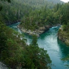
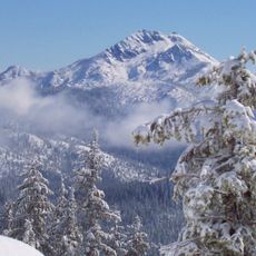
Red Buttes Wilderness, Federal wilderness area in Siskiyou Mountains, Oregon and California.

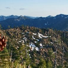
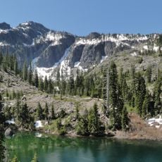
Red Buttes Wilderness covers 19,940 acres on the Siskiyou Crest between the Rogue River and Klamath River drainages, about 16,190 acres in California and 3,750 in Oregon. It runs 13 miles long and 6 miles wide, from 2,800 feet in Butte Fork Canyon to 6,740 feet at the east summit of the Red Buttes. Most of its bedrock is ocean-floor sediment several hundred million years old, now schist, quartzite, gneiss and outcrops of white marble.

Native American groups hunted along the Siskiyou Crest from perhaps 8,000 years ago; by late prehistoric times the Dakubetede of the Applegate Valley used the area, sharing it at times with the Shasta, Karok and Takelma. Arrowheads and scrapers from several thousand years of prehistory have been found here. The first non-natives likely crossed during the Siskiyou Mountain gold rush of the early 1850s. The area became Wilderness under the California and Oregon Wilderness Acts of 1984.

The name comes from the reddish-orange rock of the main butte, coloured by high iron and magnesium content. The Dakubetede of the Applegate Valley hunted deer, elk, bighorn sheep and grizzly bear here, sharing the crest at times with the Shasta, Karok and Takelma. Arrowheads, scrapers and other stone tools from several thousand years of prehistory have been found in the area.

Trails include the Azalea Lake, Frog Pond, Cameron Meadows and Butte Fork trails; the Bigfoot Trail crosses the area using the Boundary National Recreation Trail and other seldom-hiked routes. Elevations run from 2,800 feet in Butte Fork Canyon to 6,740 feet at the east summit of the Red Buttes, so expect snow at higher points. A bronze plaque along the Butte Fork Trail marks the grave of three victims of a 1945 plane crash.

The Red Buttes take their name from the reddish-orange rock of the dominant peak on the Siskiyou Crest, colored by high iron and magnesium content. The surrounding sediments began as ocean floor several hundred million years ago and were slowly altered by pressure and heat into schist, quartzite, gneiss and outcrops of white marble.

The community of curious travelers

AroundUs brings together thousands of curated places, local tips, and hidden gems, enriched daily by 92,883 contributors worldwide.

Start exploring
Location
Location
GPS coordinates
42.00944,-123.37889
Latest update
October 25, 2026 22:56
Around this place
Pacific Crest Trail
United States of America

Pacific Crest Trail

24.1 mi
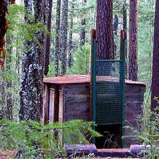
Bigfoot trap
United States of America

Bigfoot trap

12.4 mi
Smith River National Recreation Area
United States of America

Smith River National Recreation Area

30.3 mi
Siskiyou Wilderness
United States of America

Siskiyou Wilderness

29.5 mi
Valley of the Rogue State Park
United States of America

Valley of the Rogue State Park

30.1 mi
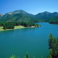
Applegate Lake
United States of America

Applegate Lake

13.9 mi
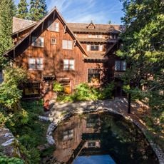
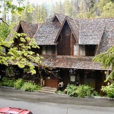
Oregon Caves Chateau
United States of America

Oregon Caves Chateau

6.3 mi
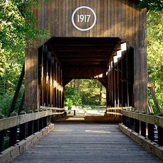
McKee Bridge
United States of America

McKee Bridge

17.7 mi
Bear Mountain
United States of America

Bear Mountain

21.1 mi
Preston Peak
United States of America

Preston Peak

17 mi
Jacksonville Historic District
United States of America

Jacksonville Historic District

29.8 mi
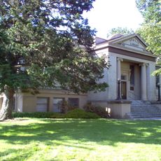
Medford Carnegie Library
United States of America

Medford Carnegie Library

33.7 mi
Oregon Caves Historic District
United States of America

Oregon Caves Historic District

6.1 mi
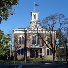
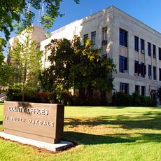
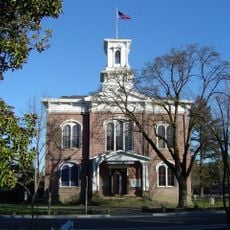
Jackson County Courthouse
United States of America

Jackson County Courthouse

33.6 mi
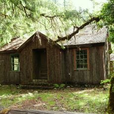
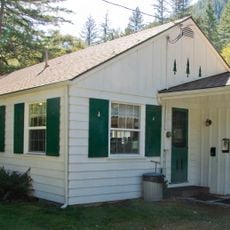
Cedar Guard Station
United States of America

Cedar Guard Station

9.9 mi
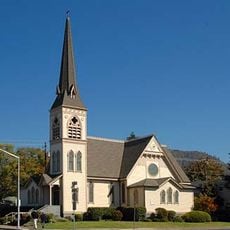
Newman United Methodist Church
United States of America

Newman United Methodist Church

30.1 mi
Jackson County Courthouse
United States of America

Jackson County Courthouse

29.9 mi
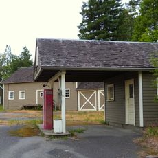
Gasquet Ranger Station Historic District
United States of America

Gasquet Ranger Station Historic District

32.3 mi
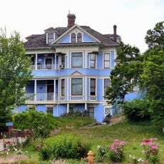
John and Susanna Ahlf House
United States of America

John and Susanna Ahlf House

30.3 mi
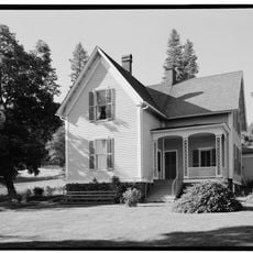
Cornelius C. Beekman House
United States of America

Cornelius C. Beekman House

29.9 mi
Grants Pass Supervisor's Warehouse
United States of America

Grants Pass Supervisor's Warehouse

29.7 mi
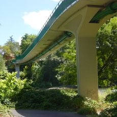
Rogue River Pedestrian Bridge
United States of America

Rogue River Pedestrian Bridge

28.9 mi
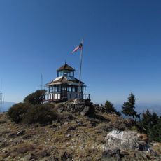
Dutchman Peak Lookout
United States of America

Dutchman Peak Lookout

25.2 mi
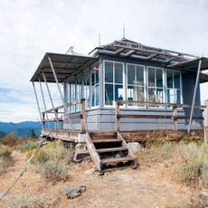
Acorn Woman Peak Lookout
United States of America

Acorn Woman Peak Lookout

19.3 mi
Bear Hotel
United States of America

Bear Hotel

29.4 mi
Grants Pass Museum of Art
United States of America

Grants Pass Museum of Art

29.9 mi
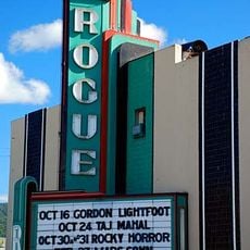
Rogue Theatre
United States of America

Rogue Theatre

29.7 mi
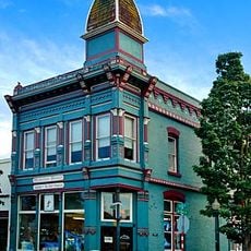
Kienlen-Harbeck Building
United States of America

Kienlen-Harbeck Building

29.8 mi
Show the full map
Reviews
Share your experience

No review yet

Discussions
Start a discussion...

No discussion yet

« Red Buttes Wilderness - Federal wilderness area in Siskiyou Mountains, Oregon and California » is provided by Around Us (aroundus.com). Images and texts are derived from Wikimedia project under a Creative Commons license. You are allowed to copy, distribute, and modify copies of this page, under the conditions set by the license, as long as this note is clearly visible.

Discover hidden gems everywhere you go!

From secret cafés to breathtaking viewpoints, skip the crowded tourist spots and find places that match your style. Our app makes it easy with voice search, smart filtering, route optimization, and insider tips from travelers worldwide. Download now for the complete mobile experience.

Around Us App Screenshot
❝

A unique approach to discovering new places❞

— Le Figaro

❝

All the places worth exploring❞

— France Info

❝

A tailor-made excursion in just a few clicks❞

— 20 Minutes

Around Us
Travel Guide & Maps
Download

Send to your phone

QR Code
1

Open the camera app on your mobile.

2

Point at the QR code with your camera. A notification will appear.

3

Tap the notification to open the link.