Pacific Crest Trail, National Scenic Trail from Mexico to Canada through California, Oregon, and Washington, US.
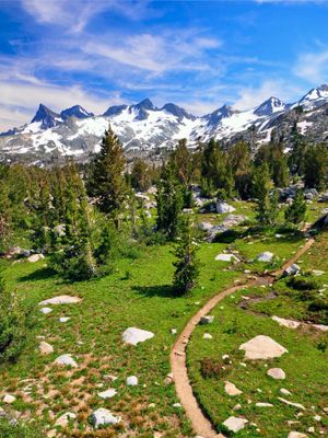
The Pacific Crest Trail is a long-distance footpath that runs 2,653 miles from the Mexican border in California to the Canadian border in Washington, following the spine of the Sierra Nevada and Cascade mountain ranges. The route passes through 25 national forests and seven national parks, alternating between high mountain passes, desert sections, and forested regions.
Clinton Churchill Clarke developed the idea for this long-distance footpath starting in 1932 and worked for decades to realize his vision of a continuous path along the western mountain ranges. Official designation as a National Scenic Trail came in 1968, but not until 1993 were all sections connected and the route fully walkable.
Hikers from many countries meet at simple campsites along the way and share stories about their experiences while cooking together or sorting through supplies. This informal community has developed its own rituals, with people addressing each other by trail names and keeping small traditions like leaving messages in logbooks.
Elevation shifts from 110 feet at the Bridge of the Gods to 13,153 feet at Forester Pass, so walkers should prepare for rapid weather changes and varying physical demands. Water is not always available along the route, so it is important to study maps and plan resupply points in advance.
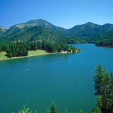
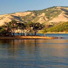
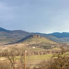
The route stays mostly inland and does not follow the Pacific coastline directly, despite what the name might suggest. Walkers cross very different landscapes, from the dry Mojave Desert through alpine zones to the rainy temperate forests of the north.
The community of curious travelers
AroundUs brings together thousands of curated places, local tips, and hidden gems, enriched daily by 60,000 contributors worldwide.