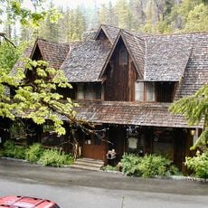
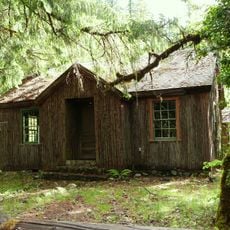
Illinois River Forks State Park, State park near Cave Junction, United States
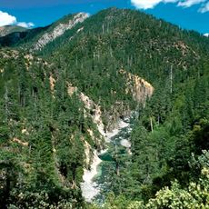
Illinois River Forks State Park sits where the east and west branches of the Illinois River meet, surrounded by forested ridges and river bottoms. The grounds include a reserved picnic shelter accommodating 50 people, restrooms, and a 9-hole disc golf course.
The park grew from land acquisitions that began in 1961, when an 80-acre parcel was leased from the Bureau of Land Management; Margaret McGee later expanded it to its present boundaries. Today it totals about 400 acres, with 170 acres between the forks of the Illinois River and the rest on the west side.
The Illinois River takes its name from the Althouse brothers, prospectors who came from Illinois in 1849. The park lies just south of Cave Junction, the town that grew from the mining camp of Waldo. At the Highway 199 day-use area, picnic tables sit on grass lawns beside a swimming hole used in summer.
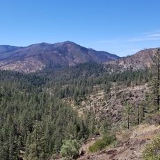
The park has two access points: the Highway 199 side, just south of Cave Junction, with paved parking, lawns, picnic tables and outhouses, and the Westside Road side with the West Side Trailhead. There, gravelled parking, a pull-through lane for horse rigs, a vault toilet and a trail kiosk serve nearly seven miles of single-track hiking and equestrian trails.
The park covers about 400 acres, split between 170 acres between the forks of the Illinois River and the rest on the west side. The west side, reached from Westside Road, has a trailhead with nearly seven miles of single-track hiking and equestrian trails, gravel parking and a pull-through lane for horse rigs.
The community of curious travelers
AroundUs brings together thousands of curated places, local tips, and hidden gems, enriched daily by 93,910 contributors worldwide.