Enable Location

We need your location to show you interesting places around you

Discover nearby places

Find interesting locations and hidden gems around you

Precise directions

Get accurate directions and distances to places

Your location is never shared with other users. It's only used when you tap the location button.

Malheur County

Log in to your account

Start exploring — it's free

Trusted by 62,859 travelers worldwide

Continue with Google
Continue with Apple
or

We will send you a code to connect

By continuing, you accept our Terms and Conditions and our Privacy Policy

Check your inbox

We've sent a pincode in your inbox. Please enter the code below.

Malheur County, Administrative county in southeastern Oregon, United States.

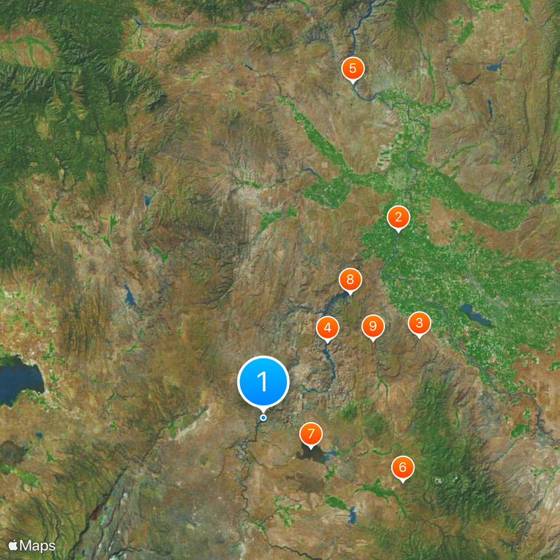
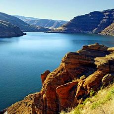
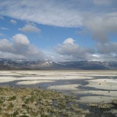
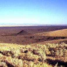
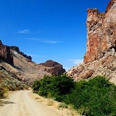
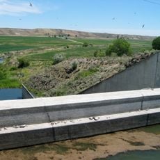
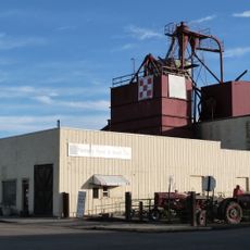
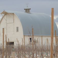
Malheur County is an administrative division in southeastern Oregon that contains wide open rangelands and farming areas across its territory. The landscape is shaped by ranching and crop production, with the Malheur River running through the region as a key geographical feature.

The county was established in 1887 after being separated from Baker County, following gold discoveries that began in 1863. These mineral finds brought miners and settlers who developed the area and eventually led to its creation as a separate county.

The Malheur River, which runs through the region, got its French name meaning "misfortune" from the struggles early fur traders faced here. This name reflects how visitors and settlers experienced the harsh environment long ago.

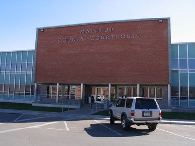
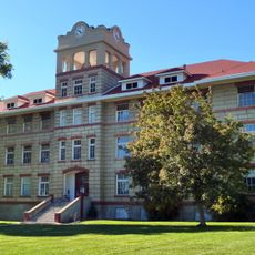
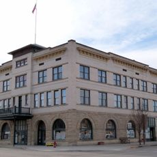
Vale serves as the administrative hub for the county, while Ontario functions as the main population center and a good starting point for visitors. The region operates on Mountain Time, so travelers should adjust their schedules accordingly when planning activities.

Ontario is home to a major potato processing facility operated by Ore-Ida, a well-known food company that shapes the local economy. What many visitors don't realize is that the vast majority of county land is federally managed, making it mostly public rather than private property.

The community of curious travelers

AroundUs brings together thousands of curated places, local tips, and hidden gems, enriched daily by 60,000 contributors worldwide.

Start exploring
Location
Inception
1887
Capital city
Vale
Shares border with
Baker County, Washington County, Payette County, Canyon County, Owyhee County, Humboldt County, Harney County, Grant County
GPS coordinates
43.21000,-117.63000
Latest update
December 14, 2025 18:14
Around this place
Fort Boise
United States of America

Fort Boise

84.2 km
Jump Creek Falls
United States of America

Jump Creek Falls

64.4 km
Owyhee Reservoir
United States of America

Owyhee Reservoir

36.6 km
Farewell Bend State Recreation Area
United States of America

Farewell Bend State Recreation Area

126.5 km
Northern Basin and Range ecoregion
United States of America

Northern Basin and Range ecoregion

56.3 km
Jordan Craters
United States of America

Jordan Craters

20.5 km
Lake Owyhee State Park
United States of America

Lake Owyhee State Park

55.6 km
Succor Creek State Natural Area
United States of America

Succor Creek State Natural Area

49.3 km
United States of America

Ontario State Recreation Site

107 km
Bully Creek Reservoir
United States of America

Bully Creek Reservoir

91.4 km
United States of America

Unity Forest State Scenic Corridor

135 km
United States of America

Antelope Reservoir

46.6 km
Unity Ranger Station
United States of America

Unity Ranger Station

143.6 km
United States of America

Malheur Reservoir

128.7 km
Knights of Pythias Lodge Hall
United States of America

Knights of Pythias Lodge Hall

126.9 km
United States of America

The Honeycombs

37.7 km
Moses and Mary Hart Stone House and Ranch Complex
United States of America

Moses and Mary Hart Stone House and Ranch Complex

86.2 km
Pelota Fronton
United States of America

Pelota Fronton

53.7 km
Anderson–Elwell House
United States of America

Anderson–Elwell House

127.1 km
Al Thompson and Son's Feed and Seed Company
United States of America

Al Thompson and Son's Feed and Seed Company

90.1 km
Archie Larsen House
United States of America

Archie Larsen House

123.1 km
Rinehart Stone House Museum
United States of America

Rinehart Stone House Museum

91.4 km
Hotel Western
United States of America

Hotel Western

90.2 km
Intermountain Institute
United States of America

Intermountain Institute

128.5 km
George Obendorf Gothic Arch Truss Barn
United States of America

George Obendorf Gothic Arch Truss Barn

80.6 km
Sheep Ranch Fortified House
United States of America

Sheep Ranch Fortified House

33 km
Vale Hotel and Grand Opera House
United States of America

Vale Hotel and Grand Opera House

91.4 km
Oregon Commercial Company Building
United States of America

Oregon Commercial Company Building

130.4 km
Show the full map
« Malheur County - Administrative county in southeastern Oregon, United States » is provided by Around Us (aroundus.com). Images and texts are derived from Wikimedia project under a Creative Commons license. You are allowed to copy, distribute, and modify copies of this page, under the conditions set by the license, as long as this note is clearly visible.

Discover hidden gems everywhere you go!

From secret cafés to breathtaking viewpoints, skip the crowded tourist spots and find places that match your style. Our app makes it easy with voice search, smart filtering, route optimization, and insider tips from travelers worldwide. Download now for the complete mobile experience.

Around Us App Screenshot

A unique approach to discovering new places

Le Figaro

All the places worth exploring

France Info

A tailor-made excursion in just a few clicks

20 Minutes

Around Us
Travel Guide & Maps
Download

Send to your phone

QR Code
1

Open the camera app on your mobile.

2

Point at the QR code with your camera. A notification will appear.

3

Tap the notification to open the link.