The Honeycombs, Rock formation in Malheur County, Oregon, United States
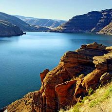
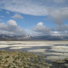
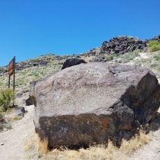
The Honeycombs is a rock formation with regular cavities that extends across the eastern shore of Owyhee Lake in eastern Oregon. The structure features weathered bedrock with honeycomb-like patterns distributed across varied terrain.
The rock formations developed through natural erosion processes over long geological periods. The area was later protected to preserve these structures and study how they formed.
The area reflects the native landscape of Oregon's high desert, where sagebrush and bunchgrass cover the ground in their natural state. These rock forms are part of how locals and visitors experience the local terrain.
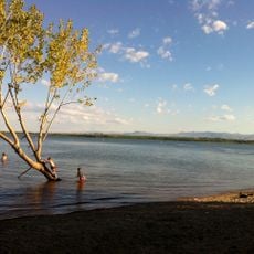
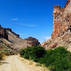
The site can be reached by boat from Owyhee Lake or by four-wheel drive road to Juniper Ridge for initial access. Once there, visitors should plan for hiking on foot to explore the rock formations up close.
The cavities formed through differential weathering of rock layers, creating their distinctive honeycomb appearance over time. This natural process makes the site noteworthy for those interested in geology.
The community of curious travelers
AroundUs brings together thousands of curated places, local tips, and hidden gems, enriched daily by 60,000 contributors worldwide.