Morrow County

Log in to your account

AroundUs is a community-driven map of interesting places, built by curious explorers like you. It grows with every review, story, and photo you share.
Connect to save your favorite spots, contribute locations, and create personalized routes.
By continuing, you accept our Terms and Conditions and our Privacy Policy
Add to collection
Map
Suggest a change
Share

Morrow County, Administrative county in northeastern Oregon, United States

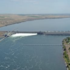
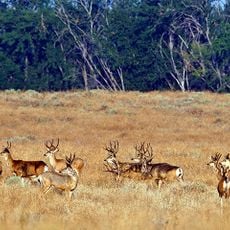
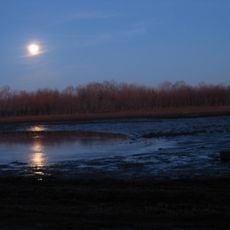
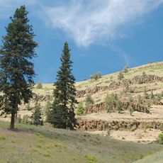
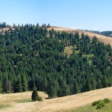
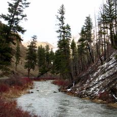
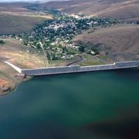
Morrow County is an administrative county in northeastern Oregon with diverse terrain spanning around 2,049 square miles. The area encompasses farmland, the Blue Mountains, and extends along the Columbia River with two natural gas power plants at the Port of Morrow.

The county was established in 1884 and named after Jackson L. Morrow, a state legislator who championed its formation from portions of Umatilla County. This founding marked the establishment of a new administrative unit in the state's development.

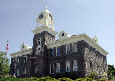
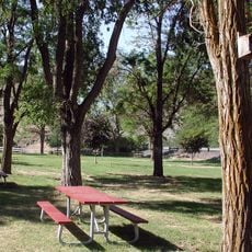
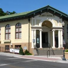
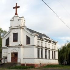
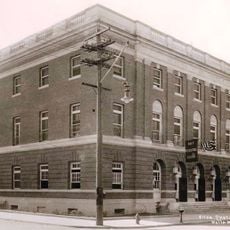
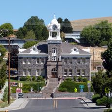
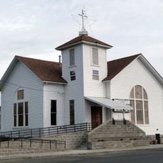
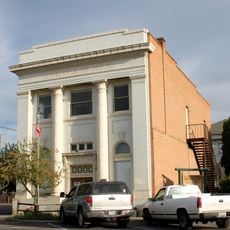
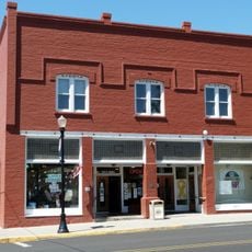
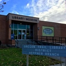
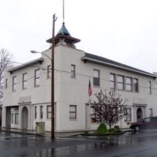
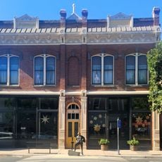
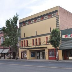
The county seat of Heppner displays buildings from the 19th century that reflect the early settlement heritage of the region. This architecture shapes the streetscape and tells the story of initial settlement through its preserved facades and layouts.

Visitors can explore the rural landscape and observe the region's economic focuses such as wheat production and power generation in action. The best time to explore is during the growing season when agricultural activity is most visible.

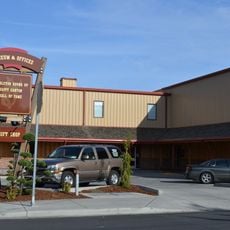
The county is home to multiple large data centers built in recent years that have reshaped the economy of this historically agricultural region. This growth in the technology sector stands in sharp contrast to the area's traditional farming identity.

Location: Oregon

Inception: 1884

Capital city: Heppner

Shares border with: Klickitat County, Benton County, Umatilla County, Grant County, Wheeler County, Gilliam County

Website: http://morrowcountyoregon.com

GPS coordinates: 45.42000,-119.57000

Latest update: December 7, 2025 20:23

Photos
Around this place
Show the full map
McNary Dam
United States of America

McNary Dam

61.2 km
Cottonwood Canyon State Park
United States of America

Cottonwood Canyon State Park

70.8 km
Hat Rock State Park
United States of America

Hat Rock State Park

63.5 km
Lake Wallula
United States of America

Lake Wallula

61.3 km
Umatilla Bridge
United States of America

Umatilla Bridge

59.5 km
Umatilla National Wildlife Refuge
United States of America

Umatilla National Wildlife Refuge

53.5 km
McKay Reservoir
United States of America

McKay Reservoir

63.6 km
Cold Springs National Wildlife Refuge
United States of America

Cold Springs National Wildlife Refuge

59.3 km
McKay Creek National Wildlife Refuge
United States of America

McKay Creek National Wildlife Refuge

63.9 km
Dyer State Wayside
United States of America

Dyer State Wayside

58.5 km
Bridge Creek Wildlife Area
United States of America

Bridge Creek Wildlife Area

64.5 km
Battle Mountain Forest State Scenic Corridor
United States of America

Battle Mountain Forest State Scenic Corridor

49.6 km
Ukiah–Dale Forest State Scenic Corridor
United States of America

Ukiah–Dale Forest State Scenic Corridor

57.2 km
Pendleton Round-Up and Happy Canyon Hall of Fame
United States of America

Pendleton Round-Up and Happy Canyon Hall of Fame

66.3 km
Pendleton Center for the Arts
United States of America

Pendleton Center for the Arts

67.2 km
St. Peter's Roman Catholic Church
United States of America

St. Peter's Roman Catholic Church

45.8 km
John F. Kilkenny United States Post Office and Courthouse
United States of America

John F. Kilkenny United States Post Office and Courthouse

67.1 km
Morrow County Courthouse
United States of America

Morrow County Courthouse

7.6 km
Echo Methodist Church
United States of America

Echo Methodist Church

46.3 km
James H. and Cynthia Koontz House
United States of America

James H. and Cynthia Koontz House

46.5 km
Bank of Echo Building
United States of America

Bank of Echo Building

46.3 km
S. B. Barker Building
United States of America

S. B. Barker Building

52.4 km
Fossil Public School
United States of America

Fossil Public School

68.7 km
Silas A. Rice Log House
United States of America

Silas A. Rice Log House

51.7 km
Heppner Library-Museum
United States of America

Heppner Library-Museum

7.2 km
Echo City Hall
United States of America

Echo City Hall

46.2 km
Pendleton Underground Tours Gift Shop
United States of America

Pendleton Underground Tours Gift Shop

67.1 km
Centre Theatre
United States of America

Centre Theatre

67.2 km
Show the full map
Reviews

Visited this place? Tap the stars to rate it and share your experience / photos with the community! Try now! You can cancel it anytime.

Administrative divisions
« Morrow County - Administrative county in northeastern Oregon, United States » is provided by Around Us (aroundus.com). Images and texts are derived from Wikimedia project under a Creative Commons license. You are allowed to copy, distribute, and modify copies of this page, under the conditions set by the license, as long as this note is clearly visible.

Discover hidden gems everywhere you go!

From secret cafés to breathtaking viewpoints, skip the crowded tourist spots and find places that match your style. Our app makes it easy with voice search, smart filtering, route optimization, and insider tips from travelers worldwide. Download now for the complete mobile experience.

Around Us App Screenshot

A unique approach to discovering new places

Le Figaro

All the places worth exploring

France Info

A tailor-made excursion in just a few clicks

20 Minutes