Columbia County

Log in to your account

AroundUs is a community-driven map of interesting places, built by curious explorers like you. It grows with every review, story, and photo you share.
Connect to save your favorite spots, contribute locations, and create personalized routes.
By continuing, you accept our Terms and Conditions and our Privacy Policy
Add to collection
Map
Suggest a change
Share

Columbia County, Administrative division in Oregon, United States.

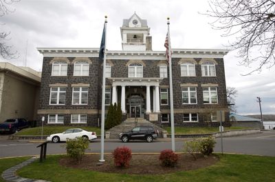
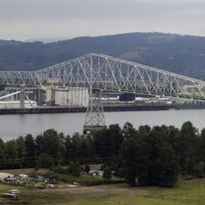
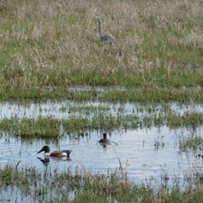
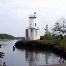
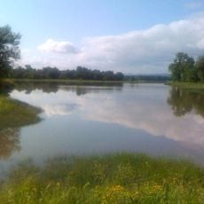
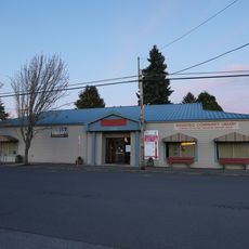
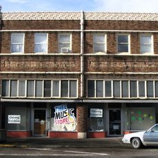
Columbia County is an administrative division in northwestern Oregon situated along the Columbia River, with St. Helens as the county seat. The area includes several small towns and rural communities connected by the river and working lands.

The county was established in 1854, carved from the northern portion of Washington County and named for the Columbia River. This founding was part of Oregon's early administrative organization during westward expansion.

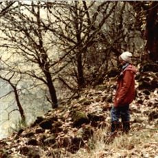
The land was home to Chinook and Clatskanie peoples whose heritage shows up in local place names and community stories. This indigenous presence shapes how people today understand the region's roots.

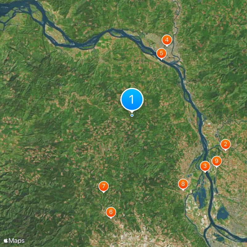
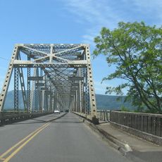
The county is about an hour's drive from the Portland area and offers a local bus system for connections between communities. Visitors should know that traffic between towns is light and having a car is often practical for getting around.

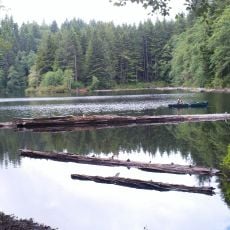
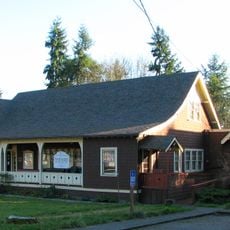
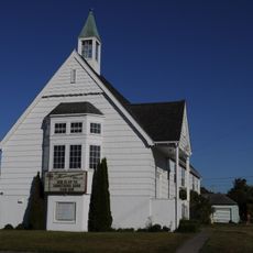
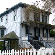
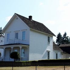
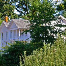
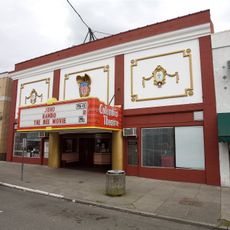
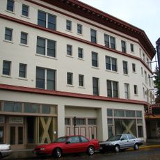
The area was historically a center for logging and river trade along the Columbia. You can still see traces of this past in old buildings and in how the small towns are organized economically.

Location: Oregon

Inception: 1854

Capital city: St. Helens

Shares border with: Wahkiakum County, Cowlitz County, Clark County, Multnomah County, Washington County, Clatsop County, Tillamook County

Website: http://co.columbia.or.us

GPS coordinates: 45.95000,-123.08000

Latest update: December 7, 2025 10:03

Photos
Around this place
Show the full map
Ilani Casino Resort
United States of America

Ilani Casino Resort

30.8 km
Collins Beach
United States of America

Collins Beach

28.5 km
Nutty Narrows Bridge
United States of America

Nutty Narrows Bridge

23.9 km
Lewis and Clark Bridge
United States of America

Lewis and Clark Bridge

19.5 km
Banks-Vernonia State Trail
United States of America

Banks-Vernonia State Trail

32.4 km
L. L. "Stub" Stewart State Park
United States of America

L. L. "Stub" Stewart State Park

25.3 km
Peace Candle of the World
United States of America

Peace Candle of the World

27.9 km
Ridgefield National Wildlife Refuge
United States of America

Ridgefield National Wildlife Refuge

30.6 km
Warrior Rock Light
United States of America

Warrior Rock Light

25.3 km
Great Vow Zen Monastery
United States of America

Great Vow Zen Monastery

23.4 km
Paradise Point State Park
United States of America

Paradise Point State Park

30.6 km
Jewell Meadows Wildlife Area
United States of America

Jewell Meadows Wildlife Area

34.2 km
Clatsop State Forest
United States of America

Clatsop State Forest

10.9 km
Sauvie Island Wildlife Area
United States of America

Sauvie Island Wildlife Area

33.4 km
Hulda Klager Lilac Gardens
United States of America

Hulda Klager Lilac Gardens

26 km
Julia Butler Hansen Bridge
United States of America

Julia Butler Hansen Bridge

36 km
Thomas J. Flippin House
United States of America

Thomas J. Flippin House

19.5 km
Vernonia Pioneer Museum
United States of America

Vernonia Pioneer Museum

13 km
Longview Community Church-Saint Helen's Addition
United States of America

Longview Community Church-Saint Helen's Addition

21.5 km
Cox–Williams House
United States of America

Cox–Williams House

24 km
Basalt Cobblestone Quarries District
United States of America

Basalt Cobblestone Quarries District

27.5 km
Caples House Museum
United States of America

Caples House Museum

22.1 km
Judge Columbia Lancaster House
United States of America

Judge Columbia Lancaster House

27.5 km
Columbia Theatre
United States of America

Columbia Theatre

23.8 km
Columbia Theatre for the Performing Arts
United States of America

Columbia Theatre for the Performing Arts

24.1 km
Ridgefield Community Library
United States of America

Ridgefield Community Library

29.8 km
Woodland Theatre
United States of America

Woodland Theatre

26.3 km
Mills Building
United States of America

Mills Building

23.6 km
Show the full map
Reviews

Visited this place? Tap the stars to rate it and share your experience / photos with the community! Try now! You can cancel it anytime.

Administrative divisions
« Columbia County - Administrative division in Oregon, United States » is provided by Around Us (aroundus.com). Images and texts are derived from Wikimedia project under a Creative Commons license. You are allowed to copy, distribute, and modify copies of this page, under the conditions set by the license, as long as this note is clearly visible.

Discover hidden gems everywhere you go!

From secret cafés to breathtaking viewpoints, skip the crowded tourist spots and find places that match your style. Our app makes it easy with voice search, smart filtering, route optimization, and insider tips from travelers worldwide. Download now for the complete mobile experience.

Around Us App Screenshot

A unique approach to discovering new places

Le Figaro

All the places worth exploring

France Info

A tailor-made excursion in just a few clicks

20 Minutes