Umatilla County, Administrative division in northeastern Oregon, United States.
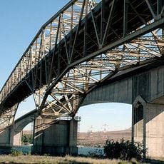
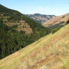
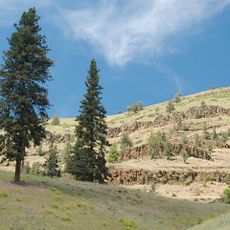
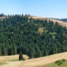
Umatilla County is an administrative division in northeastern Oregon that extends across thousands of square miles and encompasses several cities from the Columbia River to the Blue Mountains. The region connects settlements of different sizes and shapes the character of eastern Oregon.
The area was established as an administrative district in 1862, emerging from the overlap of tribal territories and European settlement patterns. This founding marked a turning point in how the region organized itself between established communities and newcomers.
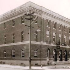
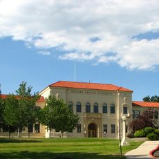
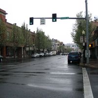
Pendleton, the county seat, preserves regional traditions through annual rodeos and agricultural fairs that draw participants from multiple states. These events shape the community's identity and reflect deep ties to rural life.
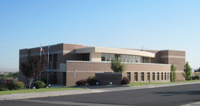
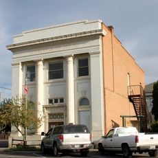
Administrative services for elections, marriage licenses, and property records are available to residents through local offices or online. County buildings are located in and around Pendleton and are accessible during regular business hours.
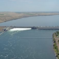
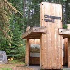
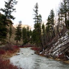
The region served as a significant crossroads along historic trade routes that connected Indigenous peoples, fur traders, and later settlers. This meeting point of pathways shaped the area's early character and economic life.
Location: Oregon
Inception: 1862
Capital city: Pendleton
Shares border with: Benton County, Walla Walla County, Columbia County, Wallowa County, Union County, Grant County, Morrow County
Website: http://co.umatilla.or.us
GPS coordinates: 45.37513,-118.75137
Latest update: December 20, 2025 15:41
McNary Dam
75.5 km
Emigrant Springs State Heritage Area
29.2 km
Hat Rock State Park
68.2 km
Lake Wallula
75.6 km
Umatilla Bridge
76 km
North Fork Umatilla Wilderness
60.4 km
Tamástslikt Cultural Institute
31.8 km
McKay Reservoir
25.9 km
Cold Springs National Wildlife Refuge
62.6 km
McKay Creek National Wildlife Refuge
25.9 km
Bridge Creek Wildlife Area
39.4 km
Hilgard Junction State Recreation Area
40.2 km
Red Bridge State Wayside
34.1 km
Battle Mountain Forest State Scenic Corridor
21.3 km
Ukiah–Dale Forest State Scenic Corridor
32.7 km
Pendleton Round-Up and Happy Canyon Hall of Fame
32.9 km
Pendleton Center for the Arts
33.5 km
St. Peter's Roman Catholic Church
53.6 km
Langdon Lake
68.6 km
John F. Kilkenny United States Post Office and Courthouse
33.1 km
RiverBend Alternative Education School
40.1 km
John Anthony House
51.7 km
Greasewood Finnish Apostolic Lutheran Church
45.1 km
Echo Methodist Church
53.6 km
James H. and Cynthia Koontz House
53.8 km
Inlow Hall
52.1 km
Bank of Echo Building
53.5 km
Wolf Creek Reservoir
67.1 kmVisited this place? Tap the stars to rate it and share your experience / photos with the community! Try now! You can cancel it anytime.
Discover hidden gems everywhere you go!
From secret cafés to breathtaking viewpoints, skip the crowded tourist spots and find places that match your style. Our app makes it easy with voice search, smart filtering, route optimization, and insider tips from travelers worldwide. Download now for the complete mobile experience.
A unique approach to discovering new places❞
— Le Figaro
All the places worth exploring❞
— France Info
A tailor-made excursion in just a few clicks❞
— 20 Minutes