Enable Location

We need your location to show you interesting places around you

Discover nearby places

Find interesting locations and hidden gems around you

Precise directions

Get accurate directions and distances to places

Your location is never shared with other users. It's only used when you tap the location button.

Washington County

Log in to your account

Start exploring — it's free

Trusted by 63,024 travelers worldwide

Continue with Google
Continue with Apple
or

We will send you a code to connect

By continuing, you accept our Terms and Conditions and our Privacy Policy

Check your inbox

We've sent a pincode in your inbox. Please enter the code below.

Discussion Reviews 5 Photos
74.8k Popularity

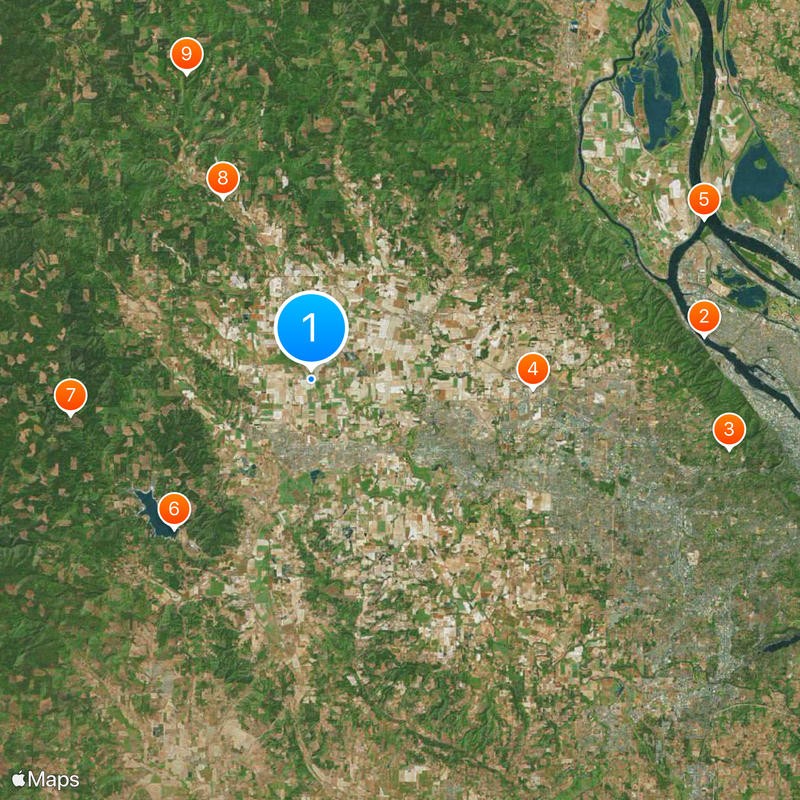
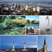
Washington County, County in northwestern Oregon, United States.

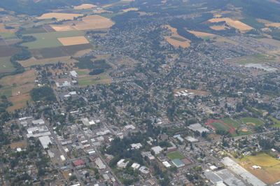
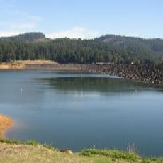
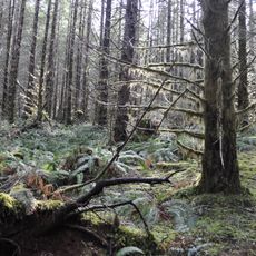
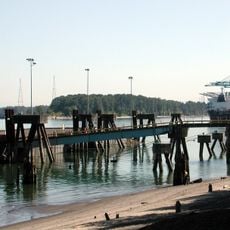
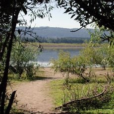
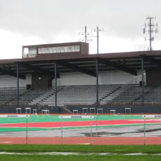
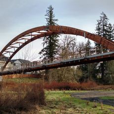
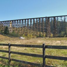
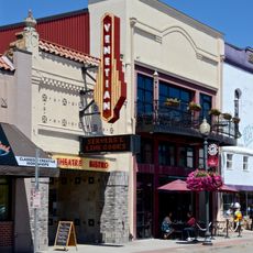
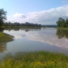
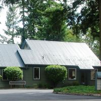
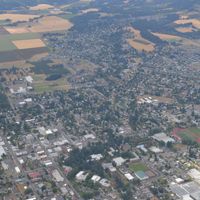
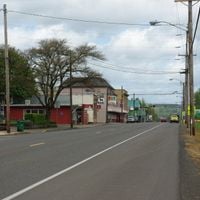
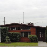
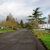
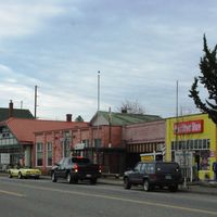
Washington County sits in northwestern Oregon and includes urban centers, farmland, and the valley of the Tualatin River. Sixteen towns spread across a region that ranges from wooded hills to flat fields.

The administrative unit began as Twality District in 1843 and was among the first organized areas in Oregon Territory. Its current name was adopted in 1849 after further settlement of the region.

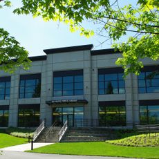
The area takes its name from George Washington, adopted in the mid-1800s. Technology companies now shape the landscape alongside farms that have been here for generations.

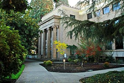
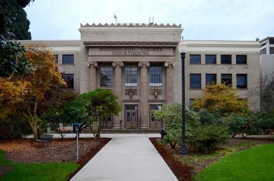
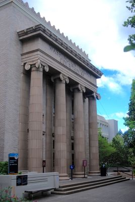
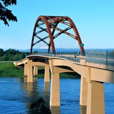
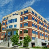
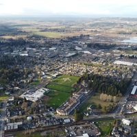
Hillsboro acts as the county seat and provides orientation for travelers exploring the different towns. Highways link the cities while public transport is available within the larger communities.

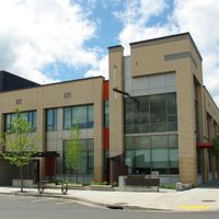
The region hosts a major part of the West Coast semiconductor industry. Intel operates several large facilities here that shape local traffic patterns and the working landscape.

The community of curious travelers

AroundUs brings together thousands of curated places, local tips, and hidden gems, enriched daily by 60,000 contributors worldwide.

Start exploring
Location
Inception
1843
Capital city
Hillsboro
Shares border with
Clatsop County, Columbia County, Multnomah County, Clackamas County, Yamhill County, Tillamook County
GPS coordinates
45.56000,-123.09000
Latest update
December 13, 2025 17:13
Around this place
St. Johns Bridge
United States of America

St. Johns Bridge

25.5 km
Willamette Stone
United States of America

Willamette Stone

27.4 km
Hillsboro Stadium
United States of America

Hillsboro Stadium

14.3 km
Course of the Willamette River
United States of America

Course of the Willamette River

27.3 km
Henry Hagg Lake
United States of America

Henry Hagg Lake

13.1 km
Tillamook State Forest
United States of America

Tillamook State Forest

15.7 km
Banks-Vernonia State Trail
United States of America

Banks-Vernonia State Trail

13 km
L. L. "Stub" Stewart State Park
United States of America

L. L. "Stub" Stewart State Park

21.3 km
Burlington Northern Railroad Bridge 5.1
United States of America

Burlington Northern Railroad Bridge 5.1

26.8 km
Peace Candle of the World
United States of America

Peace Candle of the World

26.3 km
Rice Northwest Museum of Rocks and Minerals
United States of America

Rice Northwest Museum of Rocks and Minerals

11.2 km
Tualatin River National Wildlife Refuge
United States of America

Tualatin River National Wildlife Refuge

28.3 km
Kelley Point Park
United States of America

Kelley Point Park

27.3 km
Smith and Bybee Wetlands Natural Area
United States of America

Smith and Bybee Wetlands Natural Area

25.1 km
Bald Peak State Scenic Viewpoint
United States of America

Bald Peak State Scenic Viewpoint

18.6 km
Beaverton City Library
United States of America

Beaverton City Library

23.8 km
Hare Field
United States of America

Hare Field

9.7 km
Orenco Woods Nature Park
United States of America

Orenco Woods Nature Park

15.1 km
Chief Kno-Tah
United States of America

Chief Kno-Tah

10.4 km
Holcomb Creek Trestle
United States of America

Holcomb Creek Trestle

15.5 km
United States of America

Fort William

22.8 km
Hillsboro Public Library
United States of America

Hillsboro Public Library

12.2 km
Wapato Bridge
United States of America

Wapato Bridge

22.6 km
Sherwood Public Library
United States of America

Sherwood Public Library

29.9 km
Cathedral Park
United States of America

Cathedral Park

25.7 km
Venetian Theatre
United States of America

Venetian Theatre

9 km
Sauvie Island Wildlife Area
United States of America

Sauvie Island Wildlife Area

28.6 km
Noble Woods Park
United States of America

Noble Woods Park

14.3 km
Show the full map
Reviews
Share your experience

No review yet

Discussions
Start a discussion...

No discussion yet

« Washington County - County in northwestern Oregon, United States » is provided by Around Us (aroundus.com). Images and texts are derived from Wikimedia project under a Creative Commons license. You are allowed to copy, distribute, and modify copies of this page, under the conditions set by the license, as long as this note is clearly visible.

Discover hidden gems everywhere you go!

From secret cafés to breathtaking viewpoints, skip the crowded tourist spots and find places that match your style. Our app makes it easy with voice search, smart filtering, route optimization, and insider tips from travelers worldwide. Download now for the complete mobile experience.

Around Us App Screenshot

A unique approach to discovering new places

Le Figaro

All the places worth exploring

France Info

A tailor-made excursion in just a few clicks

20 Minutes

Around Us
Travel Guide & Maps
Download

Send to your phone

QR Code
1

Open the camera app on your mobile.

2

Point at the QR code with your camera. A notification will appear.

3

Tap the notification to open the link.