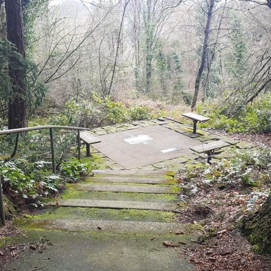
Willamette Stone, Survey marker in Northwest Portland, Oregon, United States.
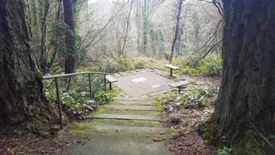
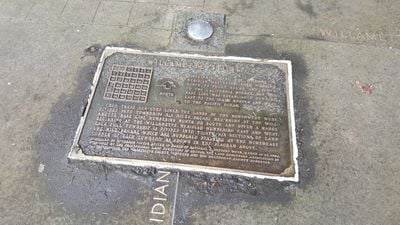
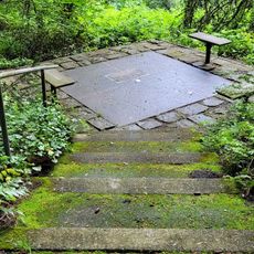
Willamette Stone is a flat steel survey marker set flush in a square of concrete paving slabs in a wooded area. Two flat plates with faint text lie beside it. Nearby, a bronze plaque set in a stone-and-concrete base reads "WILLAMETTE STONE" and shows a 36-square grid, a north arrow, and text beginning "BEGINNING HERE, THE WILLAMETTE MERIDIAN WAS ESTABLISHED..."
John B. Preston, first Surveyor General of the Oregon Territory, placed a red cedar stake here on June 4, 1851, defining the Willamette meridian and baseline. The Department of Interior replaced it with a stone obelisk on July 25, 1885, inscribed "BASE," "LINE," "WILL." and "MER." After vandalism in the 1980s, the federal government installed the present stainless steel marker, and Governor Vic Atiyeh re-dedicated the improved park in 1988.
The bronze plaque set beside the steel marker reproduces the wording placed by the State of Oregon, naming the meridian's run to the Canadian and California borders and the baseline's run to Idaho and the Pacific. Streets such as Stark Street in east Portland, formerly Base Line Road, follow the baseline, while SW 65th Avenue and part of Interstate 5 overlay the meridian.
The site is accessible via Northwest Skyline Boulevard with parking available nearby and interpretive trails for walking around the area. A visit works well at any time of day, and the walk to the marker is straightforward.
The meridian runs from Canada to California while the baseline stretches from Idaho to the Pacific Ocean. These two lines form the foundation for all land surveying in the entire region and reveal the scale of an early surveying project.
The community of curious travelers
AroundUs brings together thousands of curated places, local tips, and hidden gems, enriched daily by 95,351 contributors worldwide.