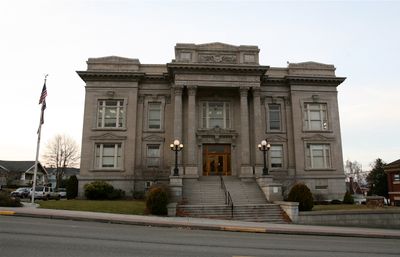
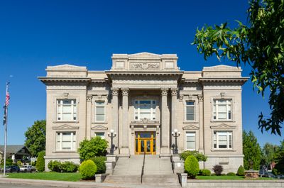
Wasco County, County administrative division in northern Oregon, United States.
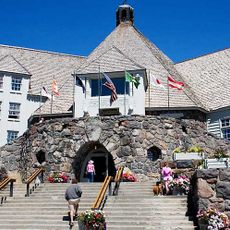
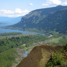
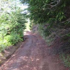
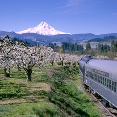
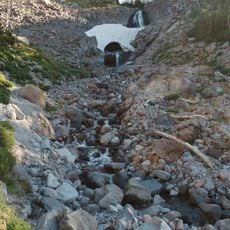
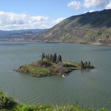
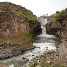
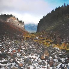
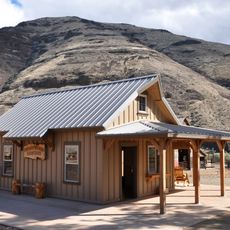
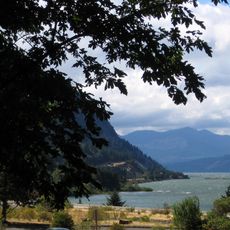
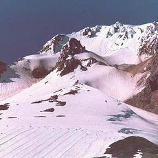
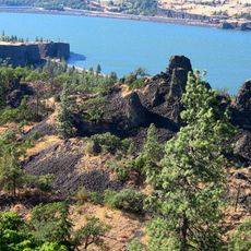
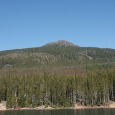
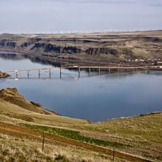
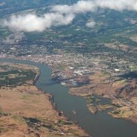
Wasco County is an administrative division in northern Oregon with The Dalles as its seat of government and many unincorporated communities scattered along the Columbia River. The region encompasses varied terrain between the Cascade Mountains and eastern ridges, containing both town centers and rural settlements.
The county was established in 1854 as a territorial division spanning from the Cascade Mountains to the Rocky Mountains. This enormous territory was gradually reduced as new counties were separated from the original boundaries over the following decades.
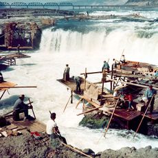
The county takes its name from the Wasco people, who operated a major trading hub at Celilo Falls on the Columbia River. This heritage shapes how residents and visitors understand the region's connection to Native American history and the river itself.
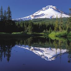
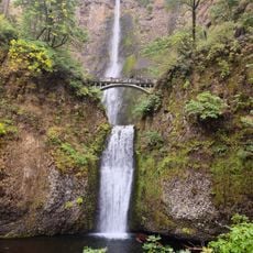
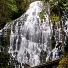
Most visitors pass through the area while traveling along the Columbia River corridor or heading to outdoor activities in the surrounding mountains. Main roads connect the communities well, though visitors should know that some rural areas have limited services and shops.
The region was once the largest county in the entire United States before being subdivided into multiple counties as the territory expanded. This historical extent made it an unusual administrative territory during its time.
The community of curious travelers
AroundUs brings together thousands of curated places, local tips, and hidden gems, enriched daily by 60,000 contributors worldwide.