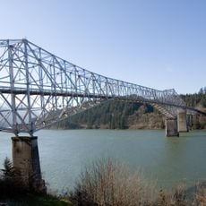
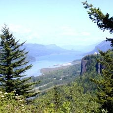
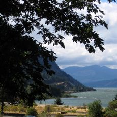
Columbia River Gorge National Scenic Area, National scenic area along Columbia River between Oregon and Washington, United States
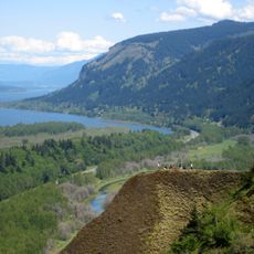
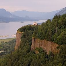
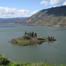
The Columbia River Gorge is a protected area stretching about 80 miles through the Cascade Range, featuring steep cliffs, many waterfalls, and different ecosystems. The landscape shifts from wet forests to open grasslands, creating a varied natural setting.
The gorge system began forming around 17 million years ago through volcanic activity and was shaped further by massive floods during the last ice age. These geological events created the steep rock walls and waterfall landscapes we see today.
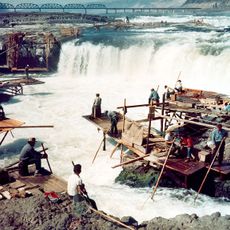
Indigenous peoples used this landscape for thousands of years as a meeting place for fishing and trade. Today, museums and memorial sites reflect their deep connection to the river and its resources.
Visitors should know that some popular trails require permits or registration, especially during busy seasons. It helps to check access conditions ahead of time and start early in the day for the best experience.
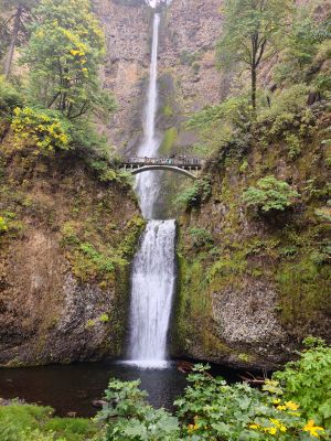
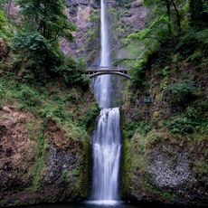
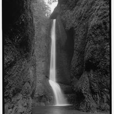
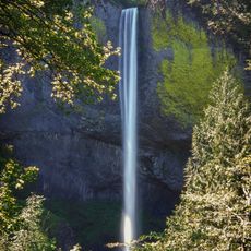
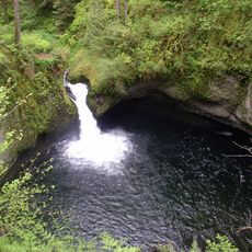
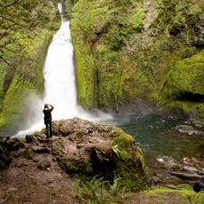
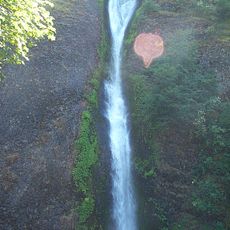
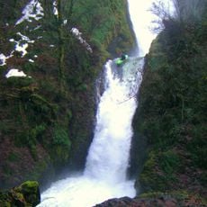
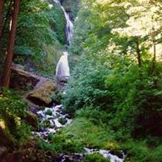
The area holds more than 90 waterfalls, including Multnomah Falls, which drops in two tiers and is a favorite for photographers. This abundance of falls comes from the high rainfall and the region's geological structure.
The community of curious travelers
AroundUs brings together thousands of curated places, local tips, and hidden gems, enriched daily by 60,000 contributors worldwide.