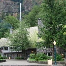
Vista House, Art Nouveau building at Crown Point, Corbett, United States.
Vista House is an octagonal structure perched 693 feet (211 meters) above the Columbia River on Crown Point, featuring marble floors and stained glass windows throughout. The building was designed as a lookout point and rest facility with panoramic viewing areas inside and out.
Built in 1916 as a rest stop for travelers on the newly completed Columbia River Highway, it was among the first tourist facilities in the area. The structure's design reflected early 20th-century architectural trends of its time.
Stone panels inside display the names of settler families who traveled along the Columbia River during westward expansion in the 1800s. These carvings serve as a physical record of the people who crossed this region.
Visit during calm weather since strong winds can force temporary closures for safety. The indoor passages are narrow with spiral staircases, so movement can feel tight during busy times.
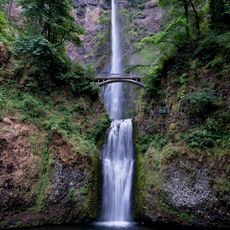
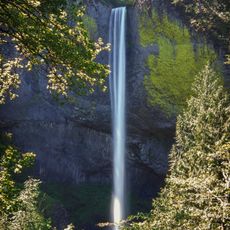
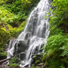
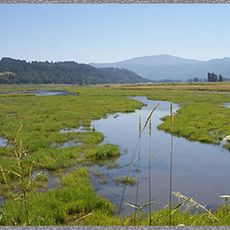
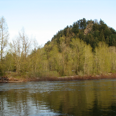
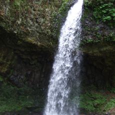
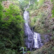
It serves as the northern gateway to a waterfall corridor containing eight falls, including the well-known Multnomah Falls further downstream. Many visitors overlook its role as a perfect starting point to orient themselves before exploring the entire route.
The community of curious travelers
AroundUs brings together thousands of curated places, local tips, and hidden gems, enriched daily by 60,000 contributors worldwide.