Chest opened
+${chestReward.xp} XP
Explorer
NOUVEAU ×${chestReward.collectible.quantity}
tapez pour fermer

See the monuments around you in AR Open chests in the app

Around Us is built for your phone — point your camera at the streets and discover the monuments and places around you in augmented reality. Around Us is built for your phone — chests unlock when you walk, explore and capture nearby places.

Enable Location

We need your location to show you interesting places around you

Discover nearby places

Find interesting locations and hidden gems around you

Precise directions

Get accurate directions and distances to places

Your location is never shared with other users. It's only used when you tap the location button.

Camp Namanu

Log in to your account

Start exploring — it's free

Trusted by 87,302 travelers worldwide

Continue with Google
Continue with Apple
or

We will send you a code to connect

By continuing, you accept our Terms and Conditions and our Privacy Policy

Check your inbox

We've sent a pincode in your inbox. Please enter the code below.

Camp Namanu
Discussion Reviews 1 Photos
2.9k Popularity

Camp Namanu, Summer camp in Sandy, United States.

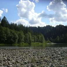
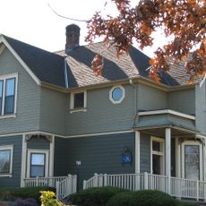
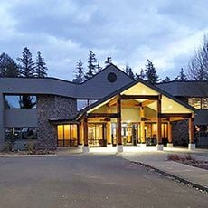
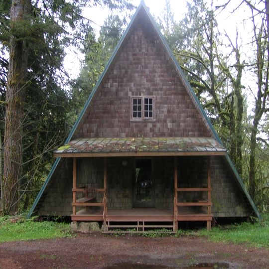
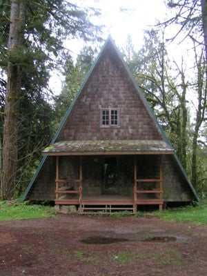
Camp Namanu is a summer camp situated on a large forested property along the Sandy River in Oregon. The grounds contain multiple buildings and outdoor spaces designed for youth programs and educational activities throughout the year.

The camp was founded in 1924 as a Camp Fire Girls facility and continued operating during World War II. A cargo ship was named after this location during the war years.

The camp sits on land that has long been important to the local community for outdoor learning and recreation. People of all backgrounds come here to experience nature together through organized programs and activities.

The camp is accessible through summer youth programs and year-round educational activities. Visitors should check in advance about which types of programs are available and how to participate.

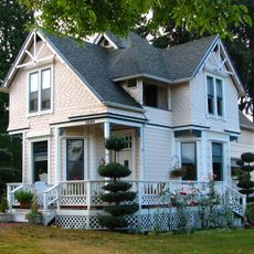
Renowned architect Pietro Belluschi designed several buildings on the grounds, including a distinctive story house. His architectural designs remain visible and shape the appearance of the property today.

The community of curious travelers

AroundUs brings together thousands of curated places, local tips, and hidden gems, enriched daily by 60,000 contributors worldwide.
Start exploring
Location
GPS coordinates
45.44720,-122.24100
Latest update
September 12, 2026 02:16
Around this place
Historic Columbia River Highway
United States of America

Historic Columbia River Highway

9.1 mi
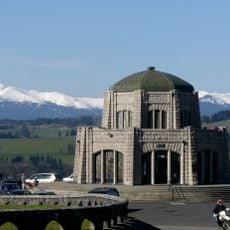
Vista House
United States of America

Vista House

6.4 mi
Rooster Rock State Park
United States of America

Rooster Rock State Park

7 mi
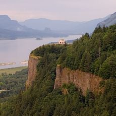
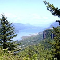
Crown Point
United States of America

Crown Point

6.4 mi
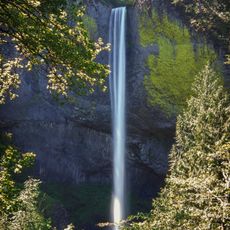
Latourell Falls
United States of America

Latourell Falls

6.3 mi
Oxbow Regional Park
United States of America

Oxbow Regional Park

4.1 mi
Bridal Veil Falls
United States of America

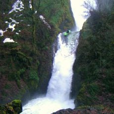
Bridal Veil Falls

8 mi
Chanticleer Point
United States of America

Chanticleer Point

6.4 mi
Steigerwald Lake National Wildlife Refuge
United States of America

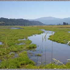
Steigerwald Lake National Wildlife Refuge

8.7 mi
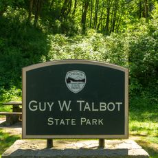
Guy W. Talbot State Park
United States of America

Guy W. Talbot State Park

6.1 mi
Philip Foster Farm
United States of America

Philip Foster Farm

8.2 mi
Dabney State Recreation Area
United States of America

Dabney State Recreation Area

7.2 mi
George W. Joseph State Natural Area
United States of America

George W. Joseph State Natural Area

5.8 mi
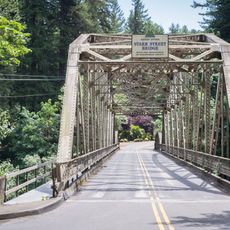
Stark Street Bridge
United States of America

Stark Street Bridge

7.5 mi
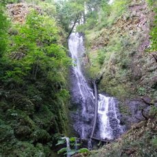
Coopey Falls
United States of America

Coopey Falls

8.8 mi
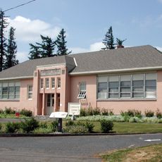
Springdale School
United States of America

Springdale School

6.6 mi
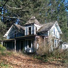
Andreas Graf House
United States of America

Andreas Graf House

4.7 mi
William Gedamke House
United States of America

William Gedamke House

9.2 mi
Emanuel and Christina Anderson House
United States of America

Emanuel and Christina Anderson House

9 mi
R. S. Smith Motor Company Building
United States of America

R. S. Smith Motor Company Building

3.7 mi
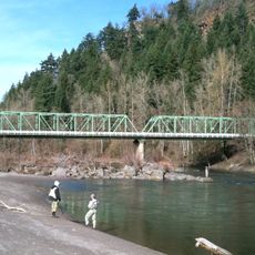
Lusted Road Bridge
United States of America

Lusted Road Bridge

0.6 mi
Troutdale Sandy River Bridge
United States of America

Troutdale Sandy River Bridge

9.1 mi
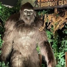
North American Bigfoot Center
United States of America

North American Bigfoot Center

4.9 mi
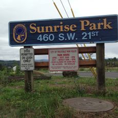
Sunrise Park
United States of America

Sunrise Park

9.1 mi
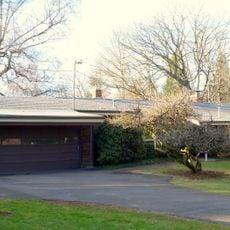
David and Marianne Ott House
United States of America

David and Marianne Ott House

8.3 mi
Pillars of Hercules
United States of America

Pillars of Hercules

7.7 mi
Mount Hood National Forest Headquarters
United States of America

Mount Hood National Forest Headquarters

3.9 mi
Rooster Rock
United States of America

Rooster Rock

6.7 mi
Show the full map
Reviews
Share your experience

No review yet

Discussions
Start a discussion...

No discussion yet

« Camp Namanu - Summer camp in Sandy, United States » is provided by Around Us (aroundus.com). Images and texts are derived from Wikimedia project under a Creative Commons license. You are allowed to copy, distribute, and modify copies of this page, under the conditions set by the license, as long as this note is clearly visible.

Discover hidden gems everywhere you go!

From secret cafés to breathtaking viewpoints, skip the crowded tourist spots and find places that match your style. Our app makes it easy with voice search, smart filtering, route optimization, and insider tips from travelers worldwide. Download now for the complete mobile experience.
Around Us App Screenshot

A unique approach to discovering new places

Le Figaro

All the places worth exploring

France Info

A tailor-made excursion in just a few clicks

20 Minutes

Around Us
Travel Guide & Maps
Download

Send to your phone

QR Code
1

Open the camera app on your mobile.

2

Point at the QR code with your camera. A notification will appear.

3

Tap the notification to open the link.