Enable Location

We need your location to show you interesting places around you

Discover nearby places

Find interesting locations and hidden gems around you

Precise directions

Get accurate directions and distances to places

Your location is never shared with other users. It's only used when you tap the location button.

Benson State Recreation Area

Log in to your account

Start exploring — it's free

Trusted by 62,339 travelers worldwide

Continue with Google
Continue with Apple
or

We will send you a code to connect

By continuing, you accept our Terms and Conditions and our Privacy Policy

Check your inbox

We've sent a pincode in your inbox. Please enter the code below.

Benson State Recreation Area

Benson State Recreation Area, Recreation area in Multnomah County, US.

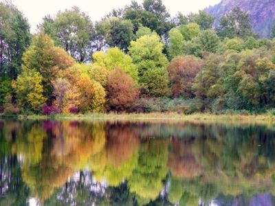
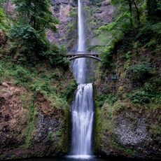
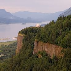
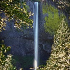
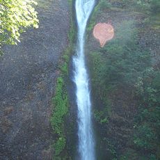
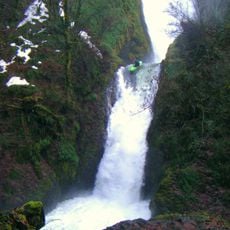
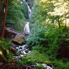
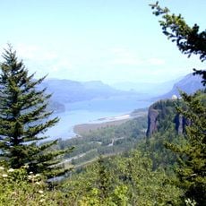
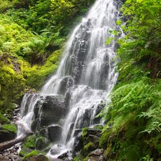
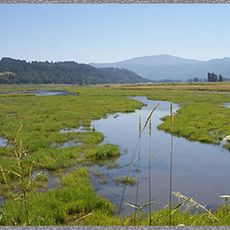
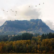
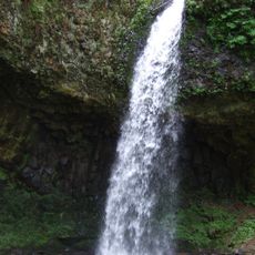
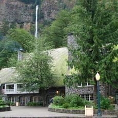
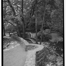
Benson State Recreation Area is a park along the Columbia River that includes Benson Lake, Hartman Pond, and several picnic areas. The site sits near Multnomah Falls and provides direct access to the water and riverbanks.

Portland established this recreation area in 1915 to preserve and open the riverfront to visitors. A Civilian Conservation Corps camp operated here from 1933 to 1935, carrying out major renovation and development work.

The area is named after Simon Benson, a timber industrialist who played a role in building the Historic Columbia River Highway. His name reflects the region's connection to early 20th-century development.

The park can be reached from Interstate 84 at milepost 30, accessible only from the eastbound direction, with day-use parking requiring a credit card payment. Check ahead about seasonal closures or maintenance work, as some facilities may not be available year-round.

Benson Lake is stocked with thousands of rainbow trout from March through October by the Oregon Department of Fish and Wildlife. This regular management program makes fishing here a reliable activity for visitors seeking to catch fish.

The community of curious travelers

AroundUs brings together thousands of curated places, local tips, and hidden gems, enriched daily by 60,000 contributors worldwide.

Start exploring
Location
GPS coordinates
45.57889,-122.12556
Latest update
December 14, 2025 09:42
Around this place
Multnomah Falls
United States of America

Multnomah Falls

872 m
Vista House
United States of America

Vista House

10.2 km
Beacon Rock State Park
United States of America

Beacon Rock State Park

12.6 km
Rooster Rock State Park
United States of America

Rooster Rock State Park

9.4 km
Oneonta Gorge
United States of America

Oneonta Gorge

4.1 km
Crown Point
United States of America

Crown Point

10.2 km
Latourell Falls
United States of America

Latourell Falls

8.6 km
Larch Mountain
United States of America

Larch Mountain

6 km
Wahclella Falls
United States of America

Wahclella Falls

14.4 km
Horsetail Falls
United States of America

Horsetail Falls

4.6 km
Bridal Veil Falls
United States of America

Bridal Veil Falls

5 km
Wahkeena Falls
United States of America

Wahkeena Falls

497 m
United States of America

Chanticleer Point

11.9 km
Fairy Falls
United States of America

Fairy Falls

948 m
Steigerwald Lake National Wildlife Refuge
United States of America

Steigerwald Lake National Wildlife Refuge

13.9 km
Ainsworth State Park
United States of America

Ainsworth State Park

5.5 km
Guy W. Talbot State Park
United States of America

Guy W. Talbot State Park

9.2 km
Franz Lake National Wildlife Refuge
United States of America

Franz Lake National Wildlife Refuge

4.7 km
John B. Yeon State Scenic Corridor
United States of America

John B. Yeon State Scenic Corridor

11.7 km
George W. Joseph State Natural Area
United States of America

George W. Joseph State Natural Area

9.2 km
Coopey Falls
United States of America

Coopey Falls

3.6 km
Andreas Graf House
United States of America

Andreas Graf House

9.9 km
Beacon Rock
United States of America

Beacon Rock

9.8 km
Bonneville Dam Historic District
United States of America

Bonneville Dam Historic District

15.7 km
Multnomah Falls Lodge and Footpath
United States of America

Multnomah Falls Lodge and Footpath

859 m
Horsetail Falls Developed Area Masonry Walls and Kiosk
United States of America

Horsetail Falls Developed Area Masonry Walls and Kiosk

4.6 km
Pillars of Hercules
United States of America

Pillars of Hercules

5.7 km
Rooster Rock
United States of America

Rooster Rock

10.5 km
Show the full map
« Benson State Recreation Area - Recreation area in Multnomah County, US » is provided by Around Us (aroundus.com). Images and texts are derived from Wikimedia project under a Creative Commons license. You are allowed to copy, distribute, and modify copies of this page, under the conditions set by the license, as long as this note is clearly visible.

Discover hidden gems everywhere you go!

From secret cafés to breathtaking viewpoints, skip the crowded tourist spots and find places that match your style. Our app makes it easy with voice search, smart filtering, route optimization, and insider tips from travelers worldwide. Download now for the complete mobile experience.

Around Us App Screenshot

A unique approach to discovering new places

Le Figaro

All the places worth exploring

France Info

A tailor-made excursion in just a few clicks

20 Minutes

Around Us
Travel Guide & Maps
Download

Send to your phone

QR Code
1

Open the camera app on your mobile.

2

Point at the QR code with your camera. A notification will appear.

3

Tap the notification to open the link.