Enable Location

We need your location to show you interesting places around you

Discover nearby places

Find interesting locations and hidden gems around you

Precise directions

Get accurate directions and distances to places

Your location is never shared with other users. It's only used when you tap the location button.

Polk County

Log in to your account

Start exploring — it's free

Trusted by 63,087 travelers worldwide

Continue with Google
Continue with Apple
or

We will send you a code to connect

By continuing, you accept our Terms and Conditions and our Privacy Policy

Check your inbox

We've sent a pincode in your inbox. Please enter the code below.

Discussion Reviews 1 Photos
22.2k Popularity

Polk County, Administrative division in Oregon, United States.

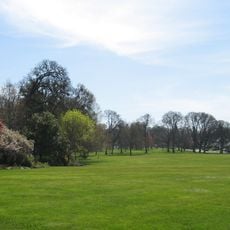
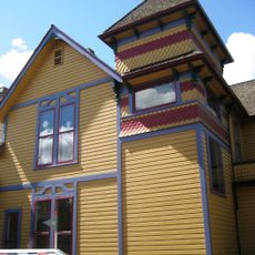
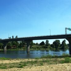
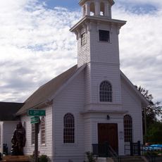
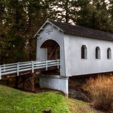
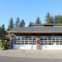
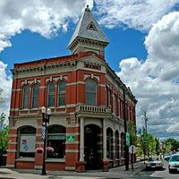
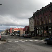
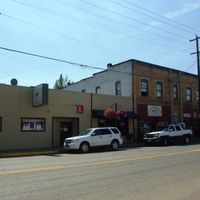
Polk County is an administrative division in Oregon that stretches between the Willamette River and the Coast Range mountains, encompassing several small communities. The area includes farmland, forestland, and residential neighborhoods connected through county services.

The area was established as an administrative division in 1845 and named after President James K. Polk during the early settlement of the Oregon region. This early creation shaped the governance structure that continues to serve the region today.

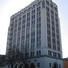
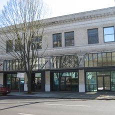
Polk County maintains multiple government departments that serve residents through educational programs, social services, and community development initiatives.

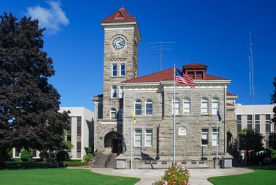
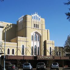
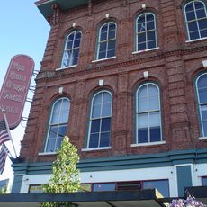
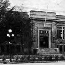
Visitors can reach local services at the administrative building in Dallas located on Main Street, which operates on weekdays. Online resources provide information about services and facilities, allowing visitors to plan ahead.

The county administration utilizes geographic information systems to provide detailed property and land use data to all residents through online portals.

The community of curious travelers

AroundUs brings together thousands of curated places, local tips, and hidden gems, enriched daily by 60,000 contributors worldwide.

Start exploring
Location
Inception
1845
Capital city
Dallas
Shares border with
Tillamook County, Yamhill County, Marion County, Linn County, Benton County, Lincoln County
GPS coordinates
44.91000,-123.42000
Latest update
December 22, 2025 16:52
Around this place
Mahonia Hall
United States of America

Mahonia Hall

29.1 km
Cascade Head
United States of America

Cascade Head

18.1 km
Willamette Mission State Park
United States of America

Willamette Mission State Park

34.5 km
Fort Yamhill
United States of America

Fort Yamhill

21.3 km
Bush's Pasture Park
United States of America

Bush's Pasture Park

30.2 km
United States of America

Ankeny National Wildlife Refuge

30.4 km
Elsinore Theatre
United States of America

Elsinore Theatre

30.4 km
United States of America

Baskett Slough National Wildlife Refuge

14.1 km
Sarah Helmick State Recreation Site
United States of America

Sarah Helmick State Recreation Site

20.2 km
Gaiety Hill-Bush's Pasture Park Historic District
United States of America

Gaiety Hill-Bush's Pasture Park Historic District

30.3 km
Gilbert House Children's Museum
United States of America

Gilbert House Children's Museum

30.1 km
McCulloch Stadium
United States of America

McCulloch Stadium

30.2 km
Union Street Railroad Bridge
United States of America

Union Street Railroad Bridge

30.2 km
Marion Street Bridge
United States of America

Marion Street Bridge

30 km
United States of America

Holman State Wayside

24.8 km
Center Street Bridge
United States of America

Center Street Bridge

30 km
Capitol Center
United States of America

Capitol Center

30.2 km
Reed Opera House and McCornack Block Addition
United States of America

Reed Opera House and McCornack Block Addition

30.3 km
Jensen Arctic Museum
United States of America

Jensen Arctic Museum

15.4 km
Eco-Earth Globe
United States of America

Eco-Earth Globe

29.8 km
Spring Valley Presbyterian Church
United States of America

Spring Valley Presbyterian Church

25.5 km
Grand Theatre
United States of America

Grand Theatre

30.4 km
Salem Public Library
United States of America

Salem Public Library

29.9 km
Saint Patrick's Roman Catholic Church
United States of America

Saint Patrick's Roman Catholic Church

19.5 km
Ritner Creek Bridge
United States of America

Ritner Creek Bridge

20.3 km
Pacific Building
United States of America

Pacific Building

30.4 km
John Phillips House
United States of America

John Phillips House

26.6 km
Tom McCall Memorial
United States of America

Tom McCall Memorial

30 km
Show the full map
Reviews
Share your experience

No review yet

Discussions
Start a discussion...

No discussion yet

« Polk County - Administrative division in Oregon, United States » is provided by Around Us (aroundus.com). Images and texts are derived from Wikimedia project under a Creative Commons license. You are allowed to copy, distribute, and modify copies of this page, under the conditions set by the license, as long as this note is clearly visible.

Discover hidden gems everywhere you go!

From secret cafés to breathtaking viewpoints, skip the crowded tourist spots and find places that match your style. Our app makes it easy with voice search, smart filtering, route optimization, and insider tips from travelers worldwide. Download now for the complete mobile experience.

Around Us App Screenshot

A unique approach to discovering new places

Le Figaro

All the places worth exploring

France Info

A tailor-made excursion in just a few clicks

20 Minutes

Around Us
Travel Guide & Maps
Download

Send to your phone

QR Code
1

Open the camera app on your mobile.

2

Point at the QR code with your camera. A notification will appear.

3

Tap the notification to open the link.