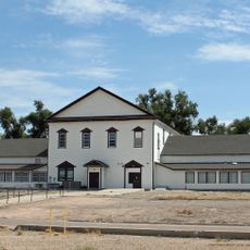
Fort Lyon
40.8 km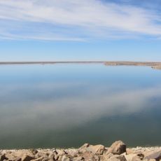
John Martin Reservoir
32 km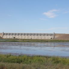
John Martin Reservoir State Park
32.3 km
Colorado Millennial Site
28.4 km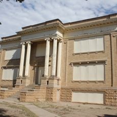
Bent County High School
46.2 km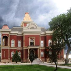
Bent County Courthouse and Jail
45.4 km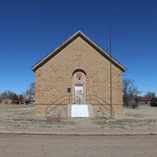
Springfield Schoolhouse
47.1 km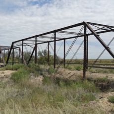
Prowers Bridge
33.6 km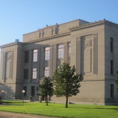
Prowers County Courthouse
37.4 km
Wiley Rock Schoolhouse
41.4 km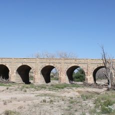
Douglas Crossing Bridge
50.6 km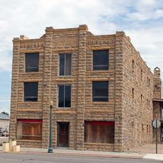
Davies Hotel
37.8 km
Springfield Museum
47.8 km
Big Timbers Museum
40.2 km
John W. Rawlings Heritage Center & Museum
45.6 km
Eagle Cliff
37.3 km
Stony Point
52.1 km
Thurston Reservoir
50.7 km
East Canyon
50.5 km
Two Buttes Reservoir
29.8 km
Atchinson, Topeka and Santa Fe Railroad Lamar Depot
37.7 km
Petrified Wood Gas Station
38.1 km
Steam Locomotive 1819
37.7 km
Windmill Blade
37.7 km
Galaxy Gallery
37.8 km
Statue, Work of art
37.7 km
Statue, Work of art
37.1 km
Work of art, sculpture
45.4 kmReviews
Visited this place? Tap the stars to rate it and share your experience / photos with the community! Try now! You can cancel it anytime.
Discover hidden gems everywhere you go!
From secret cafés to breathtaking viewpoints, skip the crowded tourist spots and find places that match your style. Our app makes it easy with voice search, smart filtering, route optimization, and insider tips from travelers worldwide. Download now for the complete mobile experience.

A unique approach to discovering new places❞
— Le Figaro
All the places worth exploring❞
— France Info
A tailor-made excursion in just a few clicks❞
— 20 Minutes