High water mark, commemorative plaque
Location: Baveno
Inscription: 14 0tt0bre 1993,16 ottobre 2000
GPS coordinates: 45.92951,8.48114
Latest update: November 19, 2025 10:31
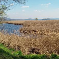
Fondo Toce Natural Reserve
1.4 km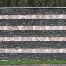
Casa della Resistenza
2 km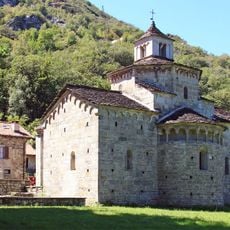
Chiesa di San Giovanni Battista
2.1 km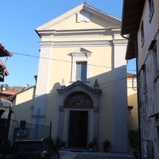
Our Lady of Sorrows church
2.1 km
Fondo Toce
1.1 km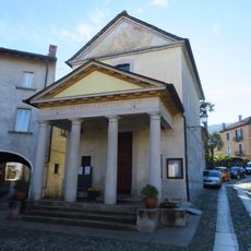
San Pietro Martire
2.2 km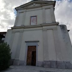
San Carlo
17 m
Torre di Feriolo
463 m
Viadotto Stronetta
607 m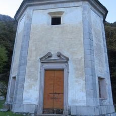
Chiesa della Madonna delle Grazie
1.5 km
Madonna del Sangue di Re
2 km
Ponte Selva Spessa
2.3 km
Portale Antica osteria del Portico
2.2 km
Immacolata Concezione
2.1 km
Toce Park
1.1 km
Spiaggia Lido Toce
968 m
La Rustica
2.1 km
Example of game carved on stone (gioco su pietra)
2.1 km
Golf & Sporting Club Verbania
2 km
Orologio Solare
237 m
Il mulo
13 m
Work of art, sculpture
21 m
Scenic viewpoint
2.4 km
Belvedere di Montorfano
1.9 km
Scenic viewpoint
1.7 km
Scenic viewpoint
2.2 km
Carrozza della ferrovia Stresa-Mottarone
2 km
Commemorative plaque, high water mark
10 mReviews
Visited this place? Tap the stars to rate it and share your experience / photos with the community! Try now! You can cancel it anytime.
Discover hidden gems everywhere you go!
From secret cafés to breathtaking viewpoints, skip the crowded tourist spots and find places that match your style. Our app makes it easy with voice search, smart filtering, route optimization, and insider tips from travelers worldwide. Download now for the complete mobile experience.

A unique approach to discovering new places❞
— Le Figaro
All the places worth exploring❞
— France Info
A tailor-made excursion in just a few clicks❞
— 20 Minutes