Chest opened
+${chestReward.xp} XP
Explorer
NOUVEAU ×${chestReward.collectible.quantity}
tapez pour fermer

See the monuments around you in AR Open chests in the app

Around Us is built for your phone — point your camera at the streets and discover the monuments and places around you in augmented reality. Around Us is built for your phone — chests unlock when you walk, explore and capture nearby places.

Enable Location

We need your location to show you interesting places around you

Discover nearby places

Find interesting locations and hidden gems around you

Precise directions

Get accurate directions and distances to places

Your location is never shared with other users. It's only used when you tap the location button.

Landschap De Liereman

Log in to your account

Start exploring — it's free

Trusted by 85,226 travelers worldwide

Continue with Google
Continue with Apple
or

We will send you a code to connect

By continuing, you accept our Terms and Conditions and our Privacy Policy

Check your inbox

We've sent a pincode in your inbox. Please enter the code below.

Landschap De Liereman
Discussion Reviews 1 Photos
1.2k Popularity

Landschap De Liereman, Nature reserve in Oud-Turnhout, Belgium

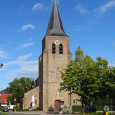
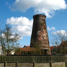
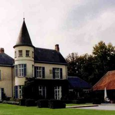
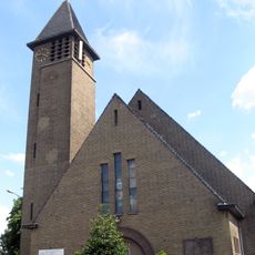
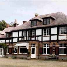
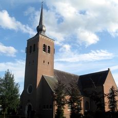
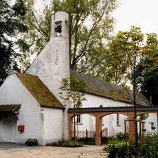
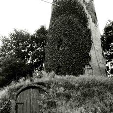
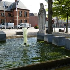
Landschap De Liereman is a nature reserve in Oud-Turnhout, in the Belgian province of Antwerp. The land covers heath, forest, grassland, sand dunes, and ponds, making it one of the oldest protected natural areas in Belgium.

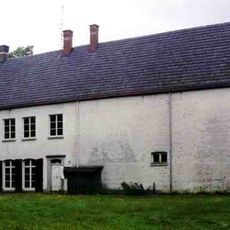
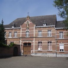
The land was used over many centuries by early humans, medieval farmers, and later by the Brothers of Charity, who managed it for a long period. Each of these occupants shaped the landscape in ways that still influence the variety of plants and animals found there today.

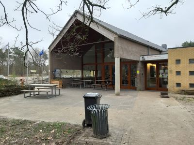
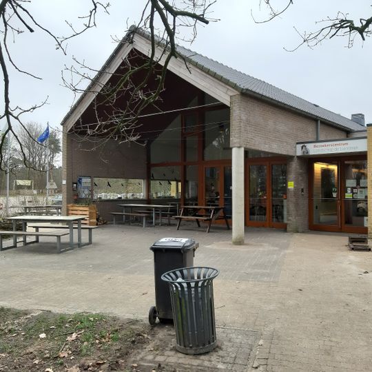
Landschap De Liereman is known for a local beer called Gageleer, brewed from the bog myrtle plant that grows on the heath nearby. Visitors can try it at the terrace of the visitor center after a walk through the reserve.

The main entrance to the reserve is at Schuurhovenberg 43 in Oud-Turnhout, where the visitor center offers information and assistance. Sturdy footwear is a good idea, as some paths pass through wet or sandy sections depending on the season.

The reserve holds the largest ancient site in Flanders, with remains going back to the final Paleolithic and Mesolithic periods. This means people were living and moving through this land thousands of years before it became a protected area.

The community of curious travelers

AroundUs brings together thousands of curated places, local tips, and hidden gems, enriched daily by 60,000 contributors worldwide.
Start exploring
Location
Address
Schuurhovenberg 43, 2360 Oud-Turnhout, Belgium
Opening Hours
Monday-Saturday 10:00-17:00; Sunday 11:00-18:00
Phone
GPS coordinates
51.33964,5.02633
Latest update
August 30, 2026 23:49
Reviews
Share your experience

No review yet

Discussions
Start a discussion...

No discussion yet

« Landschap De Liereman - Nature reserve in Oud-Turnhout, Belgium » is provided by Around Us (aroundus.com). Images and texts are derived from Wikimedia project under a Creative Commons license. You are allowed to copy, distribute, and modify copies of this page, under the conditions set by the license, as long as this note is clearly visible.

Discover hidden gems everywhere you go!

From secret cafés to breathtaking viewpoints, skip the crowded tourist spots and find places that match your style. Our app makes it easy with voice search, smart filtering, route optimization, and insider tips from travelers worldwide. Download now for the complete mobile experience.

Around Us App Screenshot

A unique approach to discovering new places

Le Figaro

All the places worth exploring

France Info

A tailor-made excursion in just a few clicks

20 Minutes

Around Us
Travel Guide & Maps
Download

Send to your phone

QR Code
1

Open the camera app on your mobile.

2

Point at the QR code with your camera. A notification will appear.

3

Tap the notification to open the link.