
Sádek, village in Svitavy District of Pardubice region
Location: Svitavy District
Location: správní obvod obce s rozšířenou působností Polička
Elevation above the sea: 543 m
Shares border with: Oldřiš, Korouhev, Kamenec u Poličky, Telecí
Email: obec.sadek@quick.cz
Website: https://obecsadek.cz
GPS coordinates: 49.69260,16.22567
Latest update: March 31, 2025 01:35
Lukasova lípa
3.8 km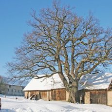
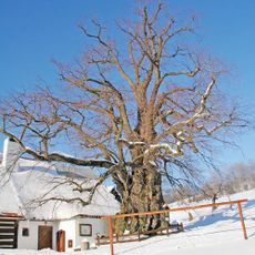
Pajkrův dub
3 km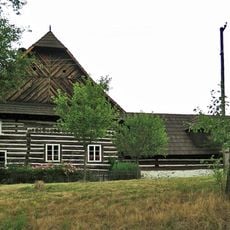
Venkovská usedlost čp. 16
2.7 km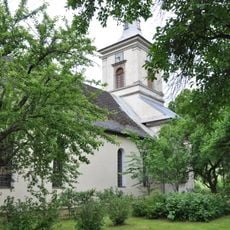
Evangelical church
3.2 km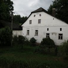
Telecký mlýn
3.2 km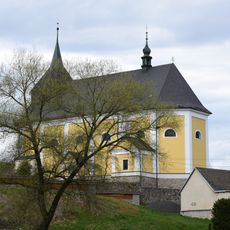
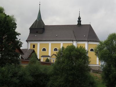
Church of the Holy Trinity (Sádek)
1.2 km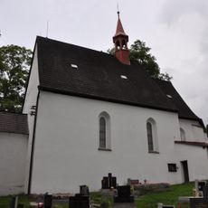
Church of Saint Mary Magdalene
3.4 km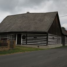
Venkovská usedlost
2.8 km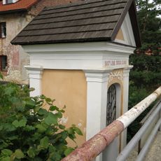
Chapel of Saint John of Nepomuk
1.5 km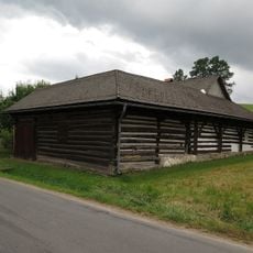
Venkovská usedlost
2.8 km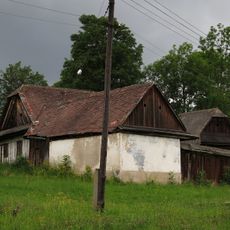
Venkovská usedlost
2.8 km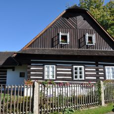
Čp. 102, Telecí
3.8 km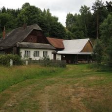
Venkovská usedlost
2.7 km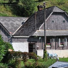
Venkovská usedlost
3.3 km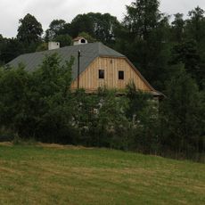
Venkovský dům
2.8 km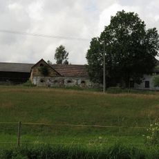
Usedlost čp. 33
131 m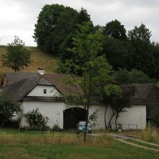
Venkovská usedlost
2.7 km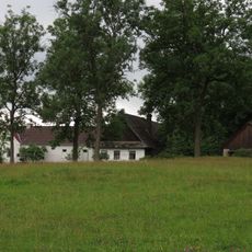
Venkovská usedlost
2.9 km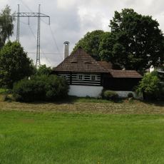
Usedlost čp. 28
436 m
Usedlost čp. 29
424 m
Venkovská usedlost
2.8 km
Usedlost čp. 8
369 m
Usedlost čp. 149
4 km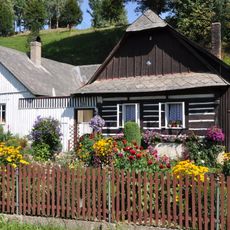
Venkovská usedlost
3.3 km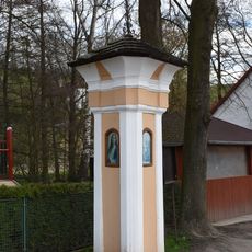
Boží muka
1.4 km
Venkovská usedlost
2.7 km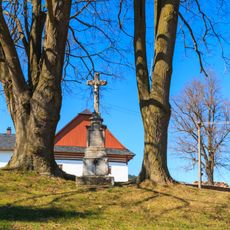
Kříž v Sádku u Poličky jih II
722 m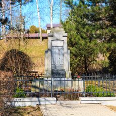
Pomník padlým v Kamenci u Poličky
2.1 kmReviews
Visited this place? Tap the stars to rate it and share your experience / photos with the community! Try now! You can cancel it anytime.
Discover hidden gems everywhere you go!
From secret cafés to breathtaking viewpoints, skip the crowded tourist spots and find places that match your style. Our app makes it easy with voice search, smart filtering, route optimization, and insider tips from travelers worldwide. Download now for the complete mobile experience.

A unique approach to discovering new places❞
— Le Figaro
All the places worth exploring❞
— France Info
A tailor-made excursion in just a few clicks❞
— 20 Minutes