Správní obvod obce s rozšířenou působností Polička
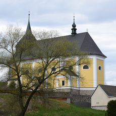
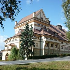
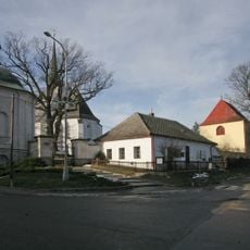
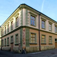
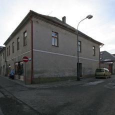
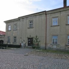
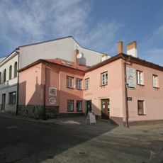
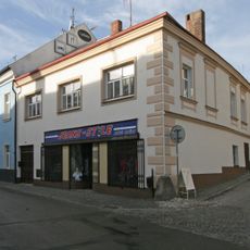
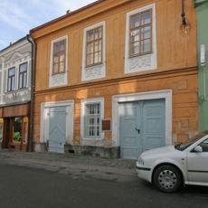
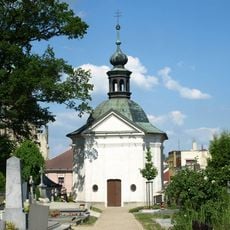
Správní obvod obce s rozšířenou působností Polička, správní obvod v okrese Svitavy
Location: Svitavy District
Inception: January 1, 2003
Capital city: Polička
GPS coordinates: 49.71667,16.23333
Latest update: March 7, 2025 22:34
Pivovar Polička
2 km
Church of Saint James the Greater in Polička
2.2 km
Church of Saint Michael
2 km
Jewish cemetery in Polička
1.6 km
Grave of Bohuslav Martinů
2.1 km
Church of the Holy Trinity (Sádek)
1.6 km
Tylův dům
2.1 km
Městský dům čp. 125 - domek hrobníka
2.1 km
Boy school in Polička
2.2 km
Špitál
2.2 km
Pomník 77 obětí protifašistického odboje
1.6 km
Chapel of Saint John of Nepomuk
1.3 km
Městský dům čp. 108
2.2 km
Městský dům čp. 117
2.2 km
Deanery in Polička
2.2 km
Městský dům čp. 105 se zbytkem městské brány
2.1 km
Městský dům čp. 49
2.2 km
Městský dům čp. 41
2.2 km
Městský dům čp. 128
2.2 km
Městský dům čp. 90
2.1 km
Boží muka
1.4 km
Městský dům čp. 110
2.2 km
Bell tower at Polička cemetery
2.1 km
Předměstský dům čp. 128 s klasicistními vraty
2 km
Městský dům čp. 91
2.1 km
Ossuary in Polička
2.1 km
Pamětní deska Bohuslava Martinů v Poličce
2.2 km
Pomník padlým v Kamenci u Poličky
825 mReviews
Visited this place? Tap the stars to rate it and share your experience / photos with the community! Try now! You can cancel it anytime.
Discover hidden gems everywhere you go!
From secret cafés to breathtaking viewpoints, skip the crowded tourist spots and find places that match your style. Our app makes it easy with voice search, smart filtering, route optimization, and insider tips from travelers worldwide. Download now for the complete mobile experience.
A unique approach to discovering new places❞
— Le Figaro
All the places worth exploring❞
— France Info
A tailor-made excursion in just a few clicks❞
— 20 Minutes