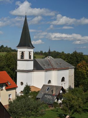
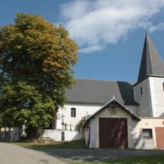
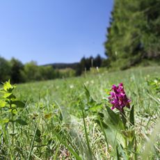
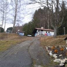
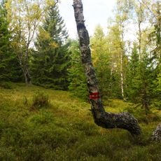
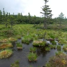
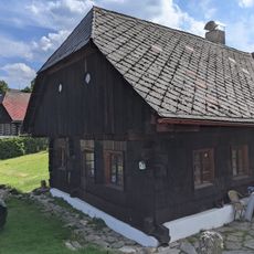
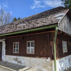
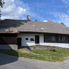
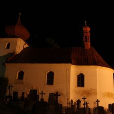
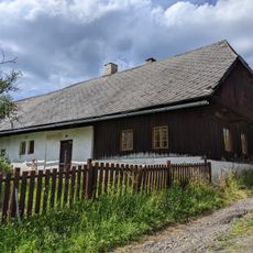
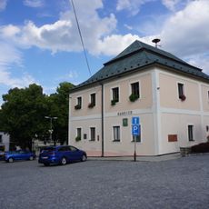
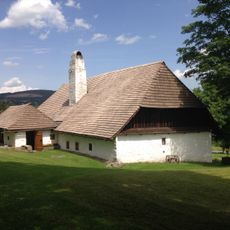
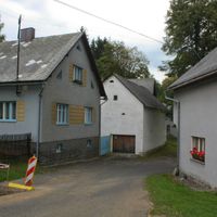
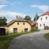
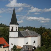
Stachy, village and municipality in the Czech Republic
Location: Prachatice District
Location: administrative district of the municipality with expanded powers Vimperk
Elevation above the sea: 738 m
Shares border with: Nicov, Nové Hutě, Vacov, Zdíkov, Kašperské Hory
Email: info@stachy.net
Website: http://stachy.net
GPS coordinates: 49.10189,13.66660
Latest update: March 5, 2025 14:14
Church of Saint Martin in Nicov
4.3 km
Rozhledna na skokanském můstku Churáňov
5.3 km
Jezírko u Kyzu
4.2 km
Nad Zavírkou
3.1 km
Lanová dráha Zadov–Churáňov
4.4 km
Pod Popelní horou
3.4 km
Malý Polec
5.6 km
Rašeliniště u Martinala
2.7 km
Smrk u Šebestova
2.9 km
Úbislav
2.1 km
Jaroškov
1.3 km
Church of the Visitation of the Virgin Mary
134 m
Klen u Popelné
4.8 km
Úbislavský buk
2.2 km
Chapel of Our Lady of Sorrows
118 m
Pomník obětem světových válek ve Stachách
125 m
Avenue at Zdíkov
2.1 km
Usedlost čp. 77
90 m
Usedlost čp. 255
207 m
Fara
4.3 km
Usedlost čp. 67
209 m
Church of Our Lady of Sorrows
241 m
Dům čp. 64
250 m
Klen v Šebestově
2.1 km
Lípa ve Stachách
19 m
Lípa velkolistá
2.6 km
Fara
15 m
Usedlost čp. 101
2 kmVisited this place? Tap the stars to rate it and share your experience / photos with the community! Try now! You can cancel it anytime.
Discover hidden gems everywhere you go!
From secret cafés to breathtaking viewpoints, skip the crowded tourist spots and find places that match your style. Our app makes it easy with voice search, smart filtering, route optimization, and insider tips from travelers worldwide. Download now for the complete mobile experience.
A unique approach to discovering new places❞
— Le Figaro
All the places worth exploring❞
— France Info
A tailor-made excursion in just a few clicks❞
— 20 Minutes