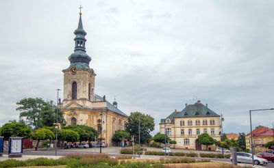
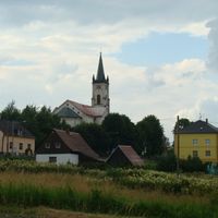
Varnsdorf, Border municipality in northern Czech Republic.
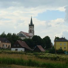
Varnsdorf is a municipality with expanded powers in Děčín District, located near the German-Czech border. The town holds city privileges and serves as an administrative center for several surrounding communities.
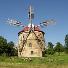
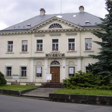
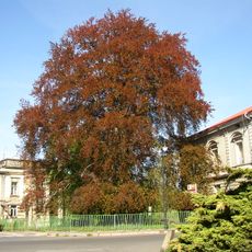
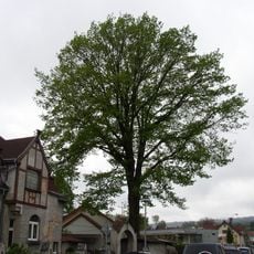
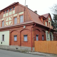
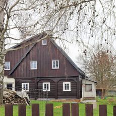
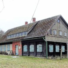
The town originated in the 13th century and later became an important hub for textile manufacturing in the region. This industrial past continues to shape the town and remains a key part of its identity.
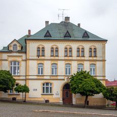
Varnsdorf shows clear marks of its textile manufacturing past in the buildings and daily life of the town. The factories and worker housing still shape how the place looks and remind visitors of when it was a major production center.
As a border town, Varnsdorf is easily reached from Germany and well connected by public transport to other Czech locations. Visitors should know the town is mainly explored on foot and most facilities are located in the center.
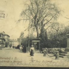
Varnsdorf was a hub of weaving and textile manufacturing where innovative techniques from German-speaking regions merged with local traditions. This blend made the town a special place on the border between cultures and industries.
Location: Děčín District
Location: správní obvod obce s rozšířenou působností Varnsdorf
Elevation above the sea: 332 m
Reference: CZ0421562882
Shares border with: Großschönau, Seifhennersdorf, Leutersdorf, Horní Podluží, Krásná Lípa, Rumburk, Dolní Podluží, Rybniště
Email: varnsdorf@varnsdorf.cz
Website: http://varnsdorf.cz
GPS coordinates: 50.91161,14.61835
Latest update: December 20, 2025 12:16
Velký rybník
6.7 km
Světlík
4.9 km
Windmill Světlík
4.6 km
Červený kostel
759 m
Church of Saint Charles Borromeo
1.3 km
Church of Saints Peter and Paul in Varnsdorf
151 m
Church of the Transfiguration
971 m
Římskokatolická farnost-děkanství Varnsdorf
158 m
Church of Saint Francis of Assisi
3.6 km
Museum Varnsdorf
755 m
Varnsdorfská hruška
2 km
Finkenhübel
2.3 km
Mlynarska 1080
1.4 km
Římskokatolická farnost Studánka
3.6 km
Topol bílý ve Varnsdorfu
526 m
Topol u varnsdorfského nádraží
2 km
Konvent oblátů
1.3 km
Buk lesní ve Varnsdorfu
513 m
Schanzenberg
3.9 km
Kamenická 114
717 m
Dub v Kostelní ulici
890 m
Měšťanská 22
788 m
Otáhalova 1207
482 m
5. května 43
592 m
Žižkova 102
668 m
Štursova 252
1.5 km
Vychodni 1771
732 m
Dolní Podluží 15
3.2 kmVisited this place? Tap the stars to rate it and share your experience / photos with the community! Try now! You can cancel it anytime.
Discover hidden gems everywhere you go!
From secret cafés to breathtaking viewpoints, skip the crowded tourist spots and find places that match your style. Our app makes it easy with voice search, smart filtering, route optimization, and insider tips from travelers worldwide. Download now for the complete mobile experience.
A unique approach to discovering new places❞
— Le Figaro
All the places worth exploring❞
— France Info
A tailor-made excursion in just a few clicks❞
— 20 Minutes