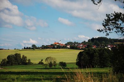
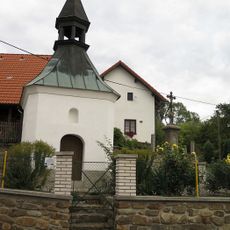
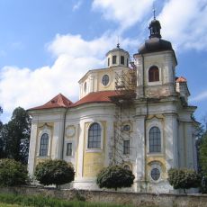
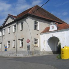
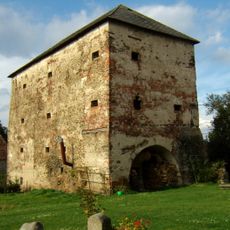
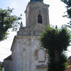
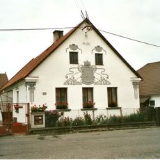
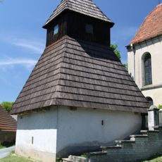
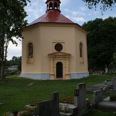
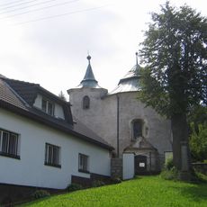
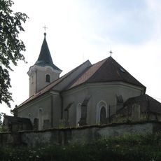
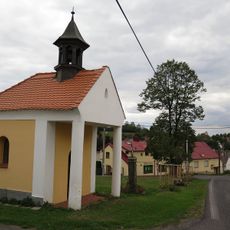
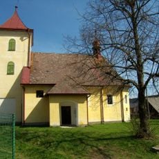
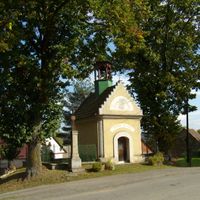
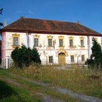
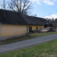
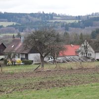
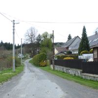
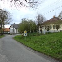
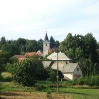
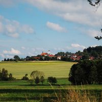
Plánice, town in the Czech Republic
Location: Klatovy District
Location: Клатови
Elevation above the sea: 579 m
Shares border with: Polánka, Myslív, Měčín, Mochtín, Nalžovské Hory, Předslav, Neurazy, Zborovy, Újezd u Plánice, Nehodiv, Zavlekov, Hnačov, Klatovy, Bolešiny, Mlýnské Struhadlo, Číhaň
Email: muplanice@planice.cz
Website: http://planice.cz
GPS coordinates: 49.39003,13.47109
Latest update: March 5, 2025 03:42
Chapel in Kroměždice
5.5 km
Church of the Nativity of the Virgin Mary
2.3 km
Plánice
319 m
Kratice
1.8 km
Rotunda svatého Jana Křtitele
3.4 km
Lovčice
3.7 km
Velký kámen
5 km
Jelení vrch
3.3 km
V Houlištích
7.9 km
Dolejší drahy
5.6 km
Polánecký mokřad
7.7 km
Vracovská lípa
2.6 km
Zdebořická lípa
5 km
Nehodivská lípa
6.5 km
Pomník jižně od Velenov
6.9 km
Socha svatého Jana Nepomuckého
527 m
Antonín Švehla monument in Kroměždice
5.6 km
Church of Saint Blaise in Plánice
220 m
Pomník jižně od Žďáru u křižovatky
6.3 km
Usedlost čp. 110
6.5 km
Socha svatého Jana Nepomuckého
7.6 km
Zvonička
6.7 km
Chapel of Saint John the Baptist
6.1 km
Church of Saint John the Baptist
3.4 km
Church of Saint Giles
5 km
Church of the Assumption of the Virgin Mary
6 km
Kaplička
6.1 km
Church of Saints Peter and Paul
4.8 kmReviews
Visited this place? Tap the stars to rate it and share your experience / photos with the community! Try now! You can cancel it anytime.
Discover hidden gems everywhere you go!
From secret cafés to breathtaking viewpoints, skip the crowded tourist spots and find places that match your style. Our app makes it easy with voice search, smart filtering, route optimization, and insider tips from travelers worldwide. Download now for the complete mobile experience.
A unique approach to discovering new places❞
— Le Figaro
All the places worth exploring❞
— France Info
A tailor-made excursion in just a few clicks❞
— 20 Minutes