Klatovy District, Administrative district in Plzeň Region, Czech Republic
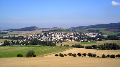
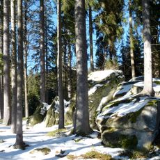
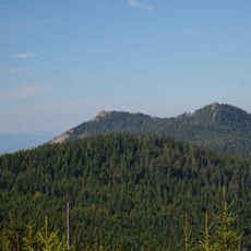
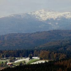
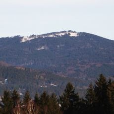
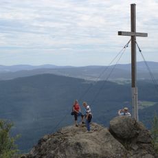
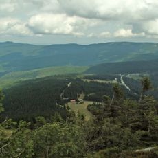
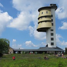
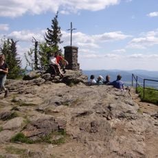
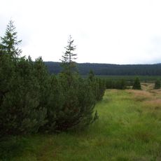
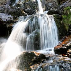
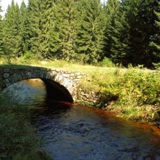
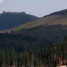
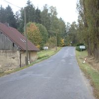
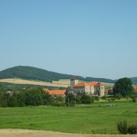
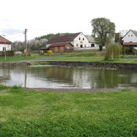
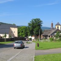
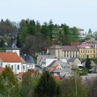
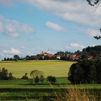
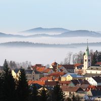
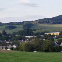
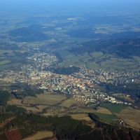
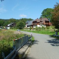
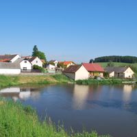
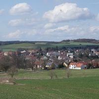
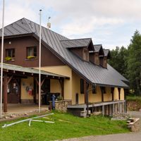
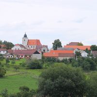
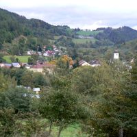
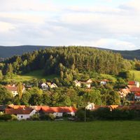
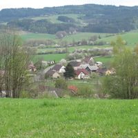
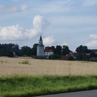
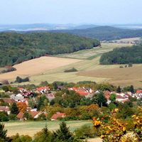
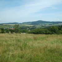
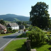
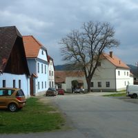
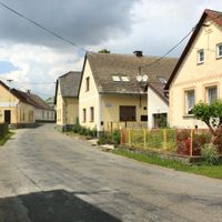
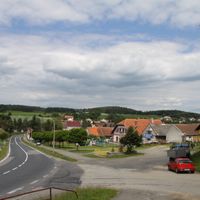
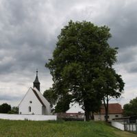
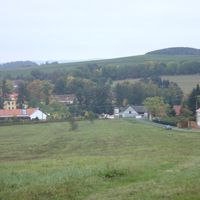
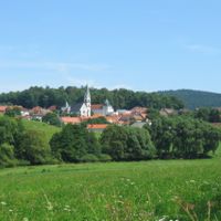
Klatovy District is an administrative area in the Plzeň Region, in the southwest of the Czech Republic, sharing a border with Germany to the west. The terrain shifts from the forested slopes of the Šumava highlands in the south to gentler, open hills in the northeast.
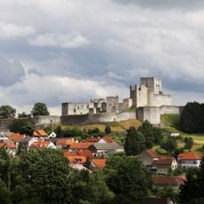
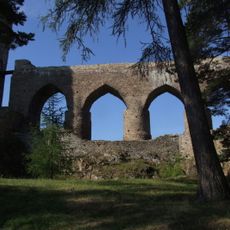
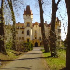
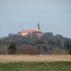
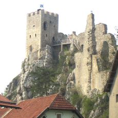
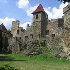
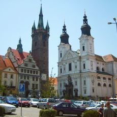
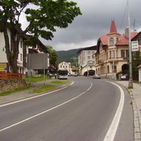
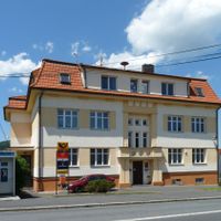
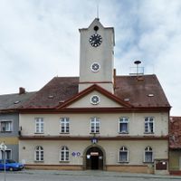
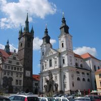
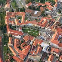
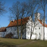
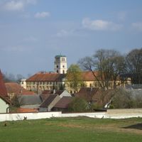
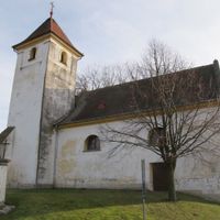
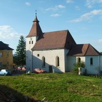
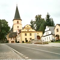
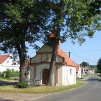
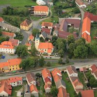
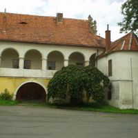
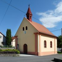
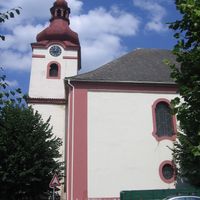
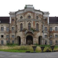
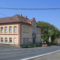
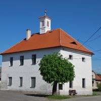
The area around the town of Klatovy was a trading and administrative hub in medieval Bohemia, with the town itself founded in the 13th century. The current district boundaries were drawn in 1960 as part of a nationwide reorganization of Czech territories.
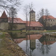
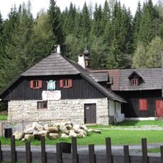
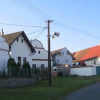
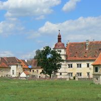
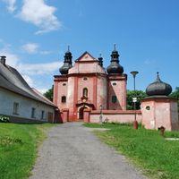
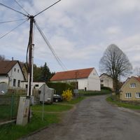
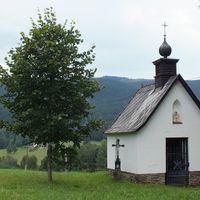
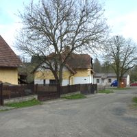
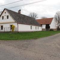
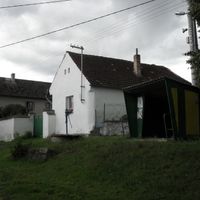
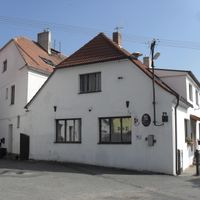
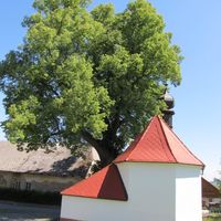
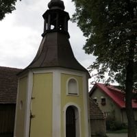
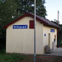
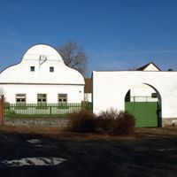
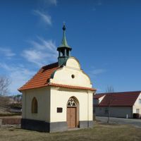
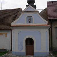
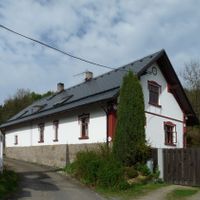
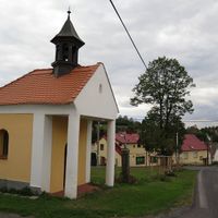
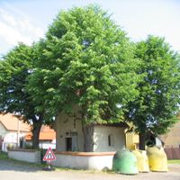
The western edge of the district borders Germany, and this proximity has shaped local life for a long time. In some villages, traces of old German-speaking communities are still visible in the architecture and place names.
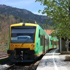
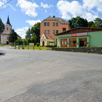
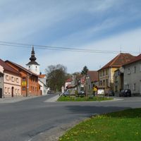
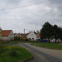
The district is well connected to Germany by road, making it easy to enter from the west. Using the town of Klatovy as a base is a practical choice, as most of the smaller villages in the area are reachable from there within a short drive.
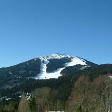
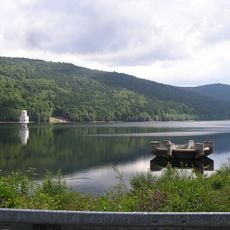
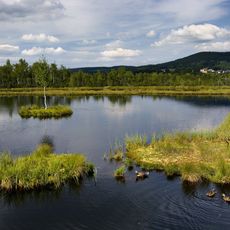
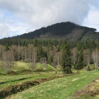
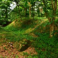
Two of the very few glacial lakes in Central Europe, Černé jezero and Čertovo jezero, lie within the Šumava area of this district. They formed at the end of the last ice age and are among the oldest natural bodies of water in the country.
The community of curious travelers
AroundUs brings together thousands of curated places, local tips, and hidden gems, enriched daily by 60,000 contributors worldwide.