Železná Ruda, Border town in Klatovy District, Czech Republic
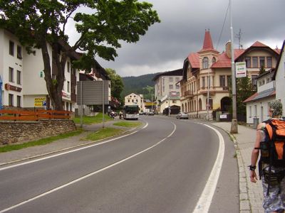
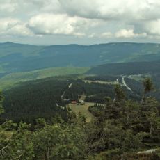
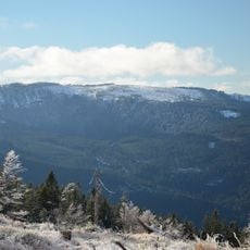
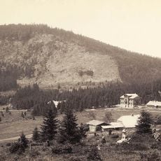
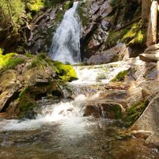
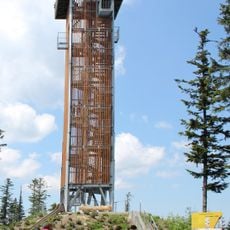
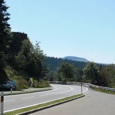
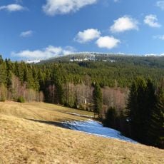
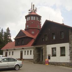
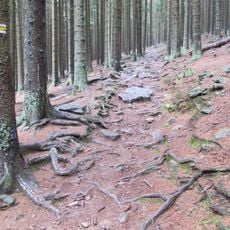
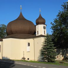
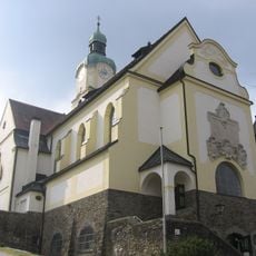
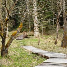
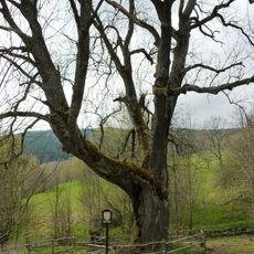
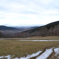
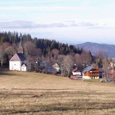
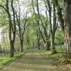
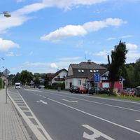
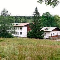
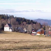
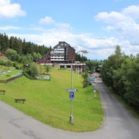
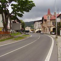
Železná Ruda is a town sitting at 820 meters elevation in mountainous terrain near the German border within the Bohemian Forest region. The settlement spreads across sloped ground with residential buildings, local shops, and facilities adapted to the landscape.
The settlement started in 1569 as a mining center where workers extracted iron ore from local deposits. Over time, as mining declined, the town adapted its economy to other activities and industries.
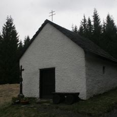
The name means 'iron ore' in Czech, reflecting generations of mining work that shaped how people built and lived in this place. You can see this heritage in the town's structure and how locals connect with their surroundings.
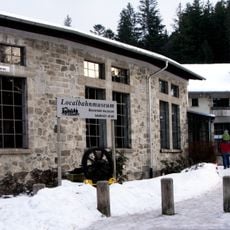
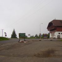
The railway station connects the town to larger cities, making travel by train straightforward for visitors. Accommodation options including hotels and guesthouses are available throughout the area, particularly useful for those coming to ski or hike.
The Špičák railway tunnel, built between 1874 and 1877 beneath the mountain, was once the longest tunnel in the country. This engineering achievement enabled train connections across the mountain region and remains a testament to the technical skill of that era.
Location: Klatovy District
Location: Клатови
Elevation above the sea: 820 m
Shares border with: Nýrsko, Hamry, Prášily, Čachrov, Dešenice, Lindberg, Bayerisch Eisenstein, Lohberg
Email: muruda@zeleznaruda.cz
Website: http://sumava.net/muruda
GPS coordinates: 49.13754,13.23522
Latest update: December 7, 2025 19:25
Landschaftsschutzgebiet Böhmerwald
7.2 km
Zwercheck
6.4 km
Panzer
4.7 km
Spitzberg
4.4 km
Vodopád v Bílé strži
8.2 km
Localbahnmuseum Bayerisch Eisenstein
3 km
Kaple svaté Kunhuty
11.8 km
Rozhledna Špičák u Železné Rudy
4.4 km
Hindenburgkanzel
5.8 km
Brückelberg
7.3 km
Pancíř
4.7 km
Královský hvozd
7.5 km
Church of Saint Mary of Help
123 m
Pfarrkirche St. Johannes Nepomuk
3.3 km
Brčálnické mokřady
5.6 km
Brčálnický jasan
6.3 km
Prameniště
6.9 km
Městišťské rokle
10 km
Kostel Panny Marie Bolestné
11.6 km
Jezerní jedle
6.5 km
Lakmal
10.6 km
Zelenský luh
11.6 km
Church of the Immaculate Conception (Hojsova Stráž)
8.4 km
Chapel of Virgin Mary
9.1 km
Úhlavský luh
12.1 km
Brčálnická lípa
6.2 km
Páteříkova Huť
9 km
Alej u hřbitova
772 mVisited this place? Tap the stars to rate it and share your experience / photos with the community! Try now! You can cancel it anytime.
Discover hidden gems everywhere you go!
From secret cafés to breathtaking viewpoints, skip the crowded tourist spots and find places that match your style. Our app makes it easy with voice search, smart filtering, route optimization, and insider tips from travelers worldwide. Download now for the complete mobile experience.
A unique approach to discovering new places❞
— Le Figaro
All the places worth exploring❞
— France Info
A tailor-made excursion in just a few clicks❞
— 20 Minutes