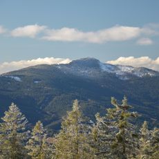
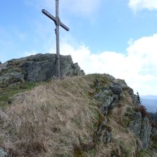
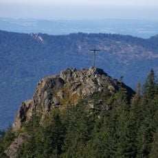
Zwercheck, Mountain summit in Bohemian Forest, Czech Republic.
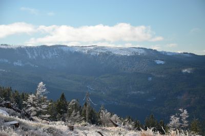
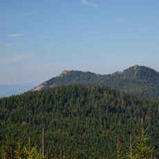
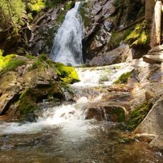
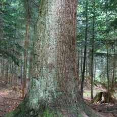
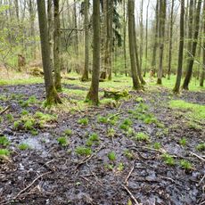
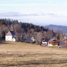
Zwercheck is a mountain summit located on the border between Germany and the Czech Republic, rising to approximately 1,334 meters in elevation. The peak stands within a forested region that forms the defining landscape feature of this area.
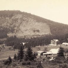
The mountain has carried two names throughout history, reflecting its position between German and Czech territories: Zwercheck in German-speaking regions and Svaroh in Czech lands. This dual naming reveals the long history of the border that has divided these regions.
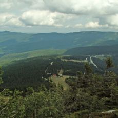
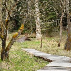
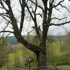
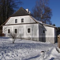
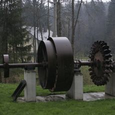
The summit sits within a protected landscape where visitors can experience how mountain communities relate to their environment. The area reflects traditional connections between people and the high forest terrain.
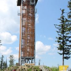
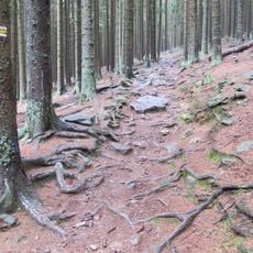
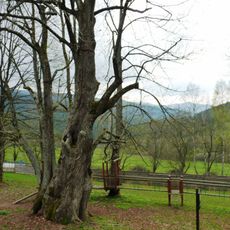
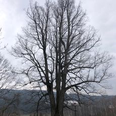
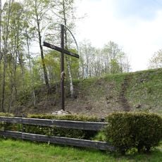
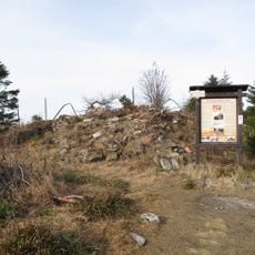
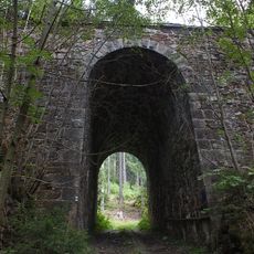
The summit is accessible via marked hiking trails that pass through the forested landscape with varying difficulty levels. Visitors should bring appropriate gear and be prepared for changing weather conditions, as conditions at higher elevations shift quickly.
Two protected landscape areas run alongside the border at this location, each with distinct conservation approaches and management rules. This arrangement creates an interesting example of how neighboring regions protect their natural areas with different but complementary systems.
The community of curious travelers
AroundUs brings together thousands of curated places, local tips, and hidden gems, enriched daily by 60,000 contributors worldwide.