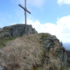
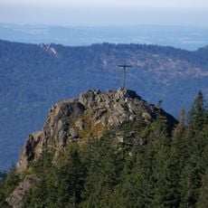
Osser, Mountain summit in Bavaria, Germany and Bohemian Forest, Czech Republic.
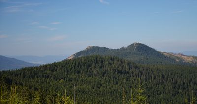
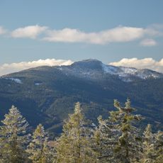
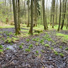
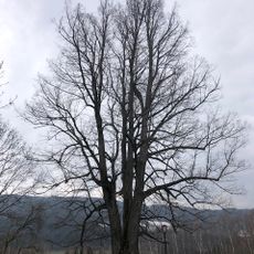
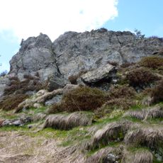
Osser is a mountain straddling the German-Czech border, rising to about 1,292 meters (4,239 feet) with two pronounced peaks. The crystalline schist composition gives the rock formations a distinctive texture visible throughout the climb.
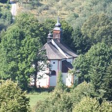
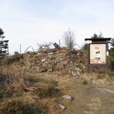
A castle called Osserburg once stood on this peak during the 12th century, though all traces of it have vanished over the centuries. The fortification was part of the region's medieval defense network before disappearing from the landscape.
The twin peaks have shaped local folklore, with poetic names that still appear in conversations among residents and hikers today. Visitors often hear these names mentioned by locals when climbing together.
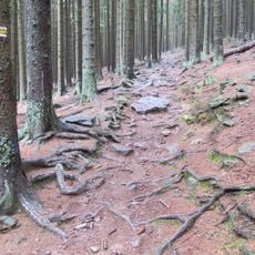
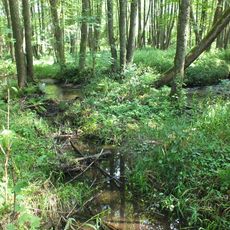
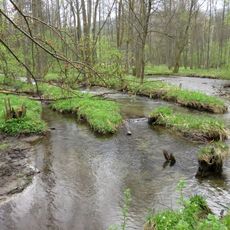
Hiking trails approach the summit from several starting points including Lohberg, Silbersbach, and Lam, all requiring sturdy footwear due to rocky terrain. Routes vary in difficulty, allowing hikers to choose based on their experience level.
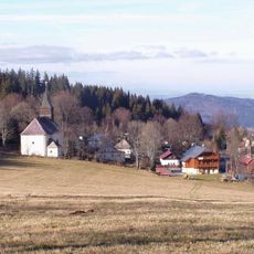
A mountain hut called Haus Willmann operates on the summit, managed by the Bavarian Forest Club and offering overnight stays. Its presence makes the location a popular rest point for multiday hiking routes through the region.
Location: Bavaria
Elevation above the sea: 1,292 m
Made from material: crystalline schist
Part of: Bohemian Forest
GPS coordinates: 49.20318,13.10978
Latest update: December 7, 2025 20:43
Zwercheck
5.3 km
Údolní nádrž Nýrsko
6.6 km
Vodopád v Bílé strži
3.7 km
Královský hvozd
4.2 km
Großer Osser
9 m
Kostel Panny Marie Bolestné
4.7 km
Jezerní jedle
5.6 km
Lakmal
5.6 km
Zelenský luh
6.2 km
Church of the Immaculate Conception (Hojsova Stráž)
6.6 km
Úhlavský luh
5.1 km
Lípa pod čističkou
6.3 km
Großer Osser
4 m
St. Ulrich
4.4 km
St. Walburga (Lohberg)
3.2 km
Ossersattel
1.7 km
Church of Saint Wolfgang
6.6 km
Pomník v Hamrech
4.7 km
Kašna
4.7 km
Mariensäule und Kriegerdenkmal
4.4 km
Fara
6.6 km
Kleiner und Großer Osser, Zwercheck und Schwarzeck
3.7 km
Juránkova chata
5.4 km
Kříž za kostelem v Hamrech
4.7 km
Kříž u kostela v Zelené Lhotě
6.6 km
Původní Peltonova turbína s hřídelí a řemenicemi před MVE v Hamrech
3.8 km
Železniční most severně od stanice Hojsova Stráž
4.7 km
Železniční most přes Zelenský potok
6.7 kmVisited this place? Tap the stars to rate it and share your experience / photos with the community! Try now! You can cancel it anytime.
Discover hidden gems everywhere you go!
From secret cafés to breathtaking viewpoints, skip the crowded tourist spots and find places that match your style. Our app makes it easy with voice search, smart filtering, route optimization, and insider tips from travelers worldwide. Download now for the complete mobile experience.
A unique approach to discovering new places❞
— Le Figaro
All the places worth exploring❞
— France Info
A tailor-made excursion in just a few clicks❞
— 20 Minutes