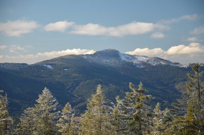
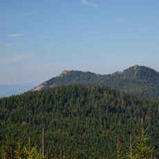
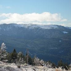
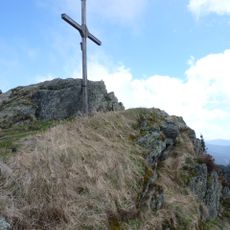
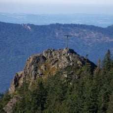
Großer Osser, Mountain summit on border between Bavaria and Bohemia.
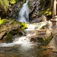
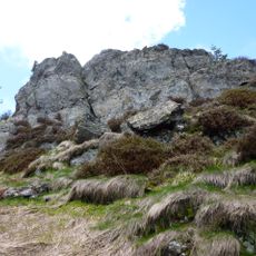
The Großer Osser is a mountain summit on the border between Bavaria and Bohemia with a distinctive pointed shape and steep rocky sides. The peak rises prominently in the mountain range and shows a striking geological character in its composition.
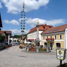
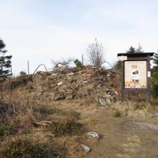
A castle called Osserburg stood on the mountain during the 12th century as a defensive structure. The site later lost its importance and the fortress disappeared over time.
The mountain carries a locally rooted name that reflects how people in the region connect their landscape to everyday speech through folk traditions. This way of naming shows how mountain communities build personal relationships with their surroundings through language and storytelling.
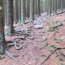
Hiking paths from Lohberg, Silbersbach, and Lam lead to the summit, but you will need good physical fitness because of the steep rocky sections. Sturdy footwear and careful footing matter on the uneven terrain.
Garnets sit within the quartz-rich mica slate layers, making the mountain interesting for those who study rocks and minerals. Visitors paying attention to the stone surfaces can spot these red crystals embedded in the rocky slopes.
The community of curious travelers
AroundUs brings together thousands of curated places, local tips, and hidden gems, enriched daily by 60,000 contributors worldwide.