Hindenburgkanzel, Mountain summit in Bavaria, Germany
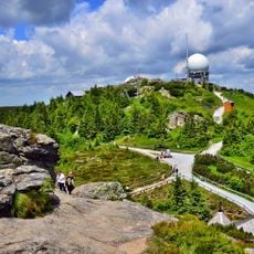
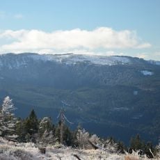
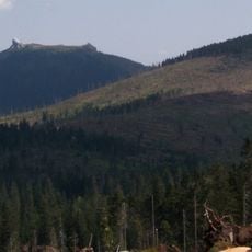
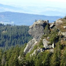
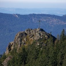
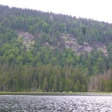
The Hindenburgkanzel is a projecting rock ledge at 1,062 metres above sea level on the border between the Upper Palatinate and Lower Bavaria, directly above the Brennesstraße between Lohberg and Bayerisch Eisenstein. The viewing platform sits between the Zwercheck and Arber peaks and looks out over the Lamer Winkel and towards the Osser.
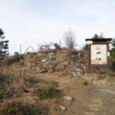
The rock ledge was exposed during construction of the Scheibenstraße, when workers blasted away part of the Rothzollriegel to keep the road's gradient workable. The remaining outcrop was named Hindenburgkanzel after Reich President and Generalfeldmarschall Paul von Hindenburg. A plaque on the ledge marks the 50th anniversary of the Bayerischer Wald-Verein, founded in 1883.
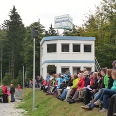
The summit attracts hikers from the surrounding area who gather to enjoy the views and spend time outdoors together. Its accessible location makes it a popular spot where locals and families visit regularly throughout the year.
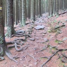
The mountain is accessible from the road between Lohberg and Großer Arber, where parking is available. Well-marked hiking trails lead to the summit with varying difficulty levels, typically taking around one to two hours depending on the route chosen.
The viewing platform was not natural: when the Scheibenstraße was built, workers blasted away part of the Rothzollriegel rock barrier to keep the road's gradient manageable, leaving the rock pulpit behind. A plaque on the rock marks the 50th anniversary of the Bayerischer Wald-Verein, founded in 1883.
The community of curious travelers
AroundUs brings together thousands of curated places, local tips, and hidden gems, enriched daily by 93,271 contributors worldwide.