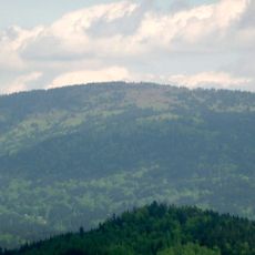
Großer Falkenstein, Mountain summit in Bavarian Forest National Park, Germany
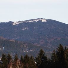
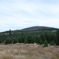
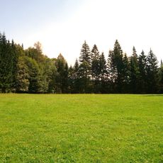
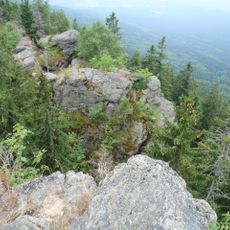
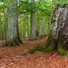
Großer Falkenstein is a mountain summit in Bavarian Forest National Park that rises to an elevation of 1,315 meters. The area is characterized by gneiss rock formations and is crossed by numerous marked hiking paths that lead to the peak from different directions.
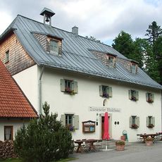
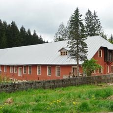
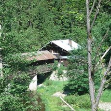
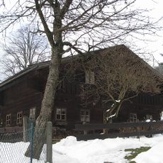
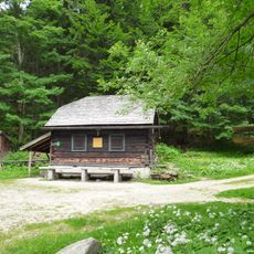
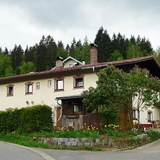
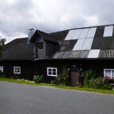
A mountain refuge building was constructed on the site in 1933 and originally provided sleeping space for about 30 guests. This structure resulted from architectural plans that had been drafted the year before.
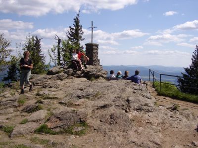
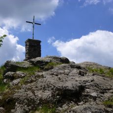
The summit cross at Großer Falkenstein is a landmark of the Bavarian highlands and marks the endpoint for many hiking routes in the region. From here visitors can survey the surroundings and see how local people use this elevated vantage point as a reference for navigation.
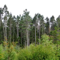
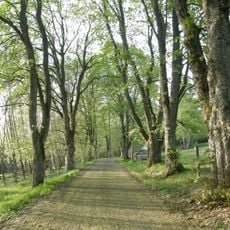
The ascent and descent are possible via several marked routes, with most paths requiring about two hours of walking time from the nearest access point. The trail itself is clearly marked and follows a steady uphill grade without particular difficulties.
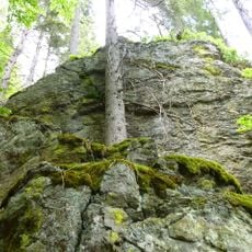
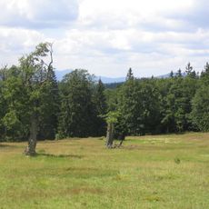
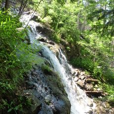
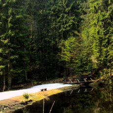
Near the summit lies Höllbachgspreng, a striking gorge system featuring waterfalls and flowing streams. This geological feature provides a contrast to the wooded paths and reveals the water-shaped character of the higher elevations.
The community of curious travelers
AroundUs brings together thousands of curated places, local tips, and hidden gems, enriched daily by 60,000 contributors worldwide.