
Vincencov, village in Prostějov District of Olomouc region
Location: Prostějov District
Location: upravni občinski okoliš z razširjenimi pristojnostmi Prostějov
Elevation above the sea: 341 m
Shares border with: Vranovice-Kelčice, Otaslavice, Myslejovice, Určice
Email: obec.vincencov@seznam.cz
Website: http://vincencov.cz
GPS coordinates: 49.40572,17.06249
Latest update: March 3, 2025 05:05

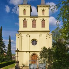
Otaslavice – kostel
2.4 km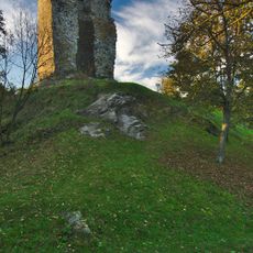
Dolní hrad
2.1 kmProstějov
3.1 km
Church of Saint John the Baptist
2.9 km
Pod Obrovou nohou
3.7 km
Socha svatého Libora
3.6 km
Blátka
725 m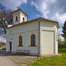
Kaple svatého Floriána
105 m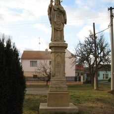
Statue of John of Nepomuk
3 km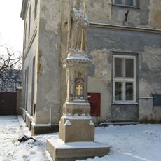
Socha svatého Libora
2.8 km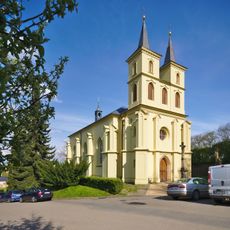
Church of Saint Michael (Otaslavice)
2.4 km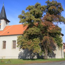
Church of the Annunciation (Myslejovice)
2.3 km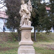
Socha svatého Floriána
2.9 km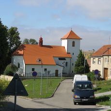
Church of Saint Cunigunde
2.7 km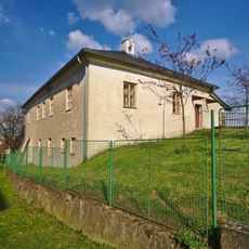
Fara
2.3 km
Krucifix
3.2 km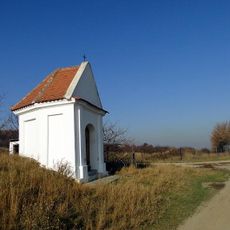
Chapel of Saint Anne near Dětkovice
1.6 km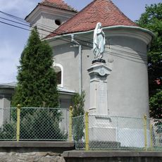
Chapel of the Assumption
4 km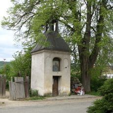
Kaplička se zvonicí
4.2 km
Krucifix
3 km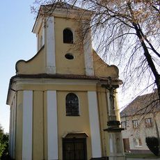
Chapel of Saint Anne
1.8 km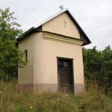
Chapel of Saint Sebastian
4.1 km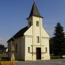
Kaple Blahoslavené Panny Marie
3.9 km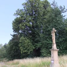
Dobrochovská lípa
3.6 km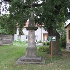
Krucifix
3.8 km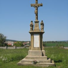
Krucifix
3 km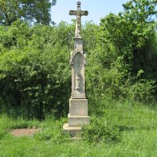
Krucifix
2.5 km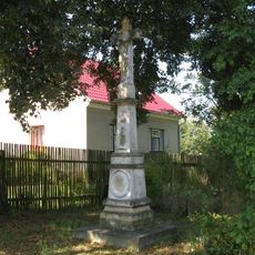
Krucifix
2.3 kmVisited this place? Tap the stars to rate it and share your experience / photos with the community! Try now! You can cancel it anytime.
Discover hidden gems everywhere you go!
From secret cafés to breathtaking viewpoints, skip the crowded tourist spots and find places that match your style. Our app makes it easy with voice search, smart filtering, route optimization, and insider tips from travelers worldwide. Download now for the complete mobile experience.

A unique approach to discovering new places❞
— Le Figaro
All the places worth exploring❞
— France Info
A tailor-made excursion in just a few clicks❞
— 20 Minutes