
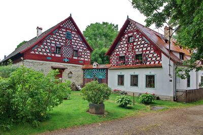
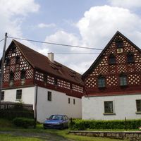
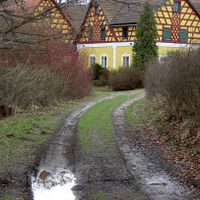
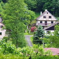
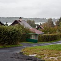
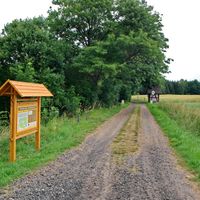
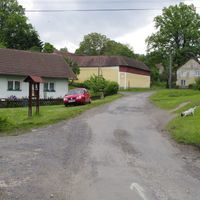
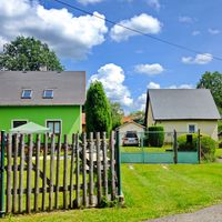
Lipová, village in Cheb District of Karlovy Vary region
Location: Cheb District
Location: Хеб
Elevation above the sea: 506 m
Shares border with: Okrouhlá, Stará Voda, Cheb, Dolní Žandov, Waldsassen, Bad Neualbenreuth
Email: oulipova@sendme.cz
Website: http://obeclipova.eu
GPS coordinates: 50.03641,12.44888
Latest update: March 8, 2025 23:00
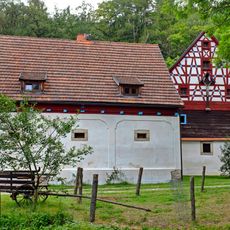
Watermill in Salajna
4.8 km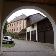
Schloss Hardeck
6.1 km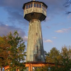
Grenzlandturm
6.2 km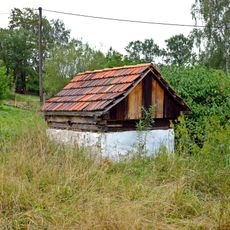
Haltýř in Salajna
4.4 km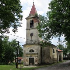
Church of Saint Anne
3.6 km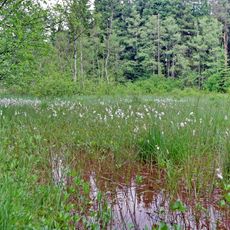
Mechové údolí
5.6 km
Sankt Laurentius
6.4 km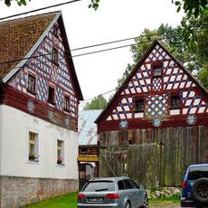
Homestead Nr. 13 in Salajna
5.2 km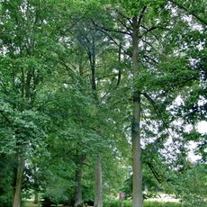
Alej Doubrava
1.9 km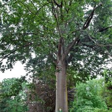
Doubravský buk
1.9 km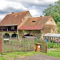
Homestead Nr. 24 in Salajna
4.4 km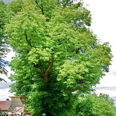
Lípa v Salajně
4.3 km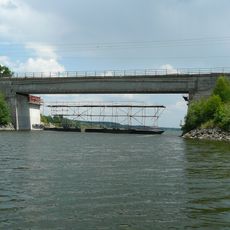
Railway bridge over Jesenice Reservoir
2.8 km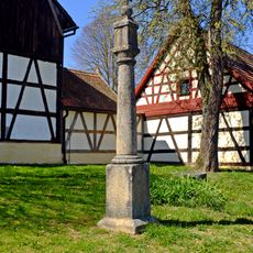
Column shrine in Doubrava
1.7 km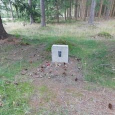
Pomníček Antonína Netáhla u Liščí farmy pod Dylení
7.3 km
Homestead Nr. 36 in Salajna
4.6 km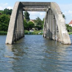
Flooded bridges in Jesenice Reservoir
3.1 km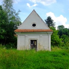
Chapel in Mýtina
3.8 km
Doubrava 13
1.8 km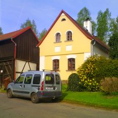
Doubrava 12
1.8 km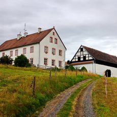
Homestead Nr. 16 in Salajna
5.1 km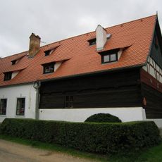
Rustlerův statek
1.8 km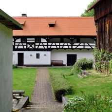
Horní Lažany
2.4 km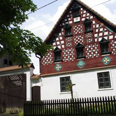
Usedlost čp. 3
1.6 km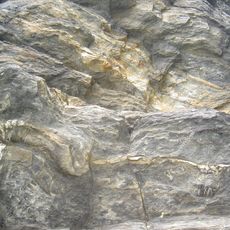
Felsen am Lerchenbühl NE von Neualbenreuth
6.1 km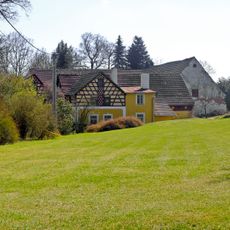
Usedlost čp. 8
2 km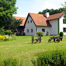
Lipová 60
1.2 km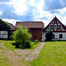
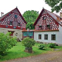
Lipová 17
352 mReviews
Visited this place? Tap the stars to rate it and share your experience / photos with the community! Try now! You can cancel it anytime.

Discover hidden gems everywhere you go!
From secret cafés to breathtaking viewpoints, skip the crowded tourist spots and find places that match your style. Our app makes it easy with voice search, smart filtering, route optimization, and insider tips from travelers worldwide. Download now for the complete mobile experience.

A unique approach to discovering new places❞
— Le Figaro
All the places worth exploring❞
— France Info
A tailor-made excursion in just a few clicks❞
— 20 Minutes