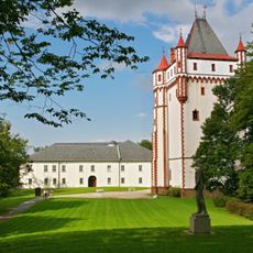
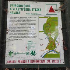
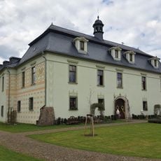
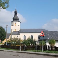
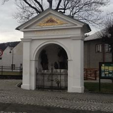
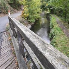
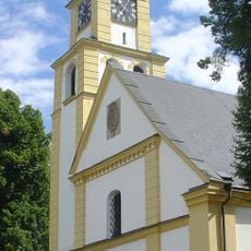
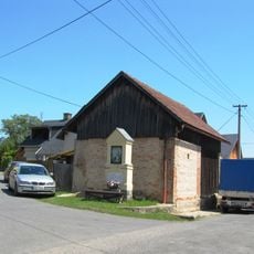
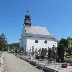
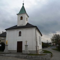
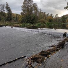
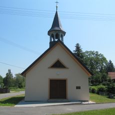
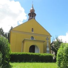
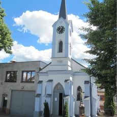
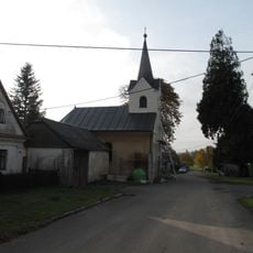
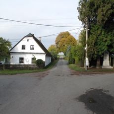
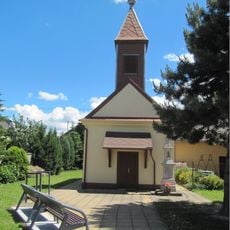
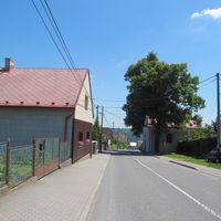
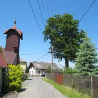
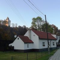
Hradec nad Moravicí, town in the Czech Republic
Location: Opava District
Location: Опава
Elevation above the sea: 264 m
Shares border with: Radkov, Vršovice, Březová, Hlubočec, Melč, Skřipov, Štáblovice, Uhlířov, Chvalíkovice, Branka u Opavy
Email: sekretariat@muhradec.cz
Website: http://muhradec.cz
GPS coordinates: 49.87100,17.87587
Latest update: March 2, 2025 21:20
Hradec nad Moravicí Castle
794 m
Přírodovědná a vlastivědná stezka Hanuše
1.2 km
Glacial Erratic in Hradec nad Moravicí
229 m
Zámek Štáblovice
4.3 km
Medvědí skála
1.4 km
Silesian Calvary
1.2 km
Bezruč's Viewpoint
1.8 km
Šance
3.7 km
Kostel svatého Jakuba
450 m
Church of Saint Lawrence (Štáblovice)
4.2 km
Chapel of Saint John of Nepomuk (Hradec nad Moravicí)
17 m
3. most přes Papírenský náhon
4.6 km
Church of Saints Peter and Paul
525 m
Boží muka
2.7 km
Cemetery chapel in Hradec nad Moravicí
450 m
Church of the Visitation of Our Lady
4.2 km
Weisshuhn Weir
5.4 km
Chapel of the Holy Family
7 km
Chapel of Saint Michael
2.9 km
Chapel of the Sacred Heart
4.5 km
Usedlost čp. 15
5.8 km
Usedlost čp. 30
5.8 km
Šance Hanuše
1.3 km
Memorial stones in Hradec nad Moravicí
1.3 km
Žimrovická skála
1.6 km
Chapel of Holy Trinity
1.8 km
1. lávka přes Papírenský náhon
5.4 km
Kašna na náměstí před zámkem v Hradci nad Moravicí
616 mReviews
Visited this place? Tap the stars to rate it and share your experience / photos with the community! Try now! You can cancel it anytime.
Discover hidden gems everywhere you go!
From secret cafés to breathtaking viewpoints, skip the crowded tourist spots and find places that match your style. Our app makes it easy with voice search, smart filtering, route optimization, and insider tips from travelers worldwide. Download now for the complete mobile experience.
A unique approach to discovering new places❞
— Le Figaro
All the places worth exploring❞
— France Info
A tailor-made excursion in just a few clicks❞
— 20 Minutes