
Veletov, village in Kolín District of Central Bohemian region
Location: Kolín District
Location: administrative district Kolín
Inception: July 1, 1973
Elevation above the sea: 198 m
Shares border with: Týnec nad Labem, Starý Kolín, Konárovice, Svatý Mikuláš
Email: veletov@mybox.cz
Website: http://veletov.cz
GPS coordinates: 50.02826,15.30514
Latest update: May 1, 2025 09:35
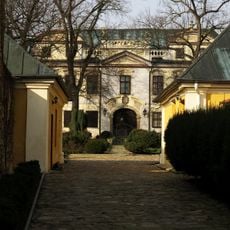
Konárovice Castle
1.9 km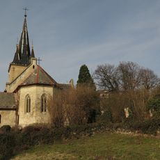
Church of the Exaltation of the Holy Cross
1.8 km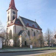
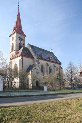
Church of the Annunciation
40 m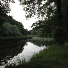
Na hornické
2.3 km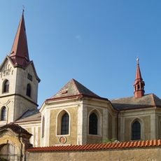
Church of Saint Andrew (Starý Kolín)
2.3 km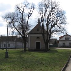
Chapel of the Assumption
3.2 km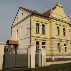
Volmanova vila
3.3 km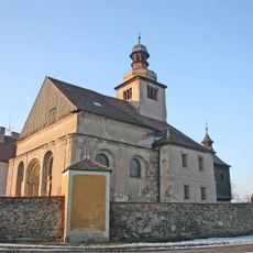
Church of Saint Procopius
3.1 km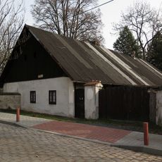
Restaurant Bašta
1.7 km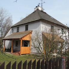
Fulling mill in Starý Kolín
1.6 km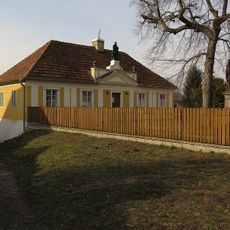
Špitál se sochou svatého Jana Nepomuckého
2 km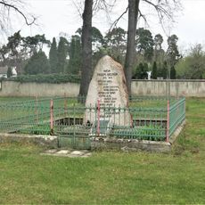
Pomník padlým v Záboří nad Labem
3.4 km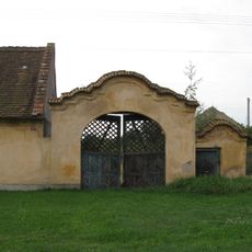
Brána s brankou usedlosti čp. 7
80 m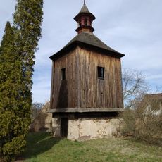
Dřevěná zvonice u kostela v Záboří nad Labem
3.1 km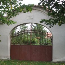
Brána usedlosti čp. 24
111 m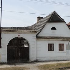
Usedlost čp. 32
2.3 km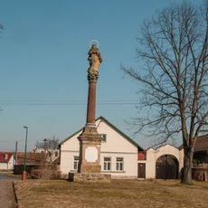
Sloup se sochou Panny Marie
3.2 km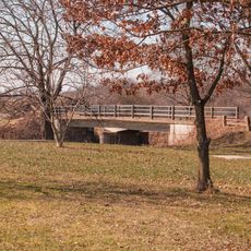
Most přes Doubravu v Záboří nad Labem u čističky
2.8 km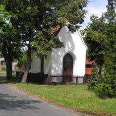
Chapel of Saint George
3 km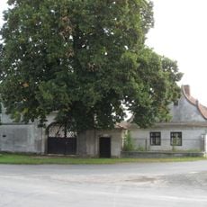
Usedlost čp. 37
8 m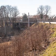
Most silnice II/327 přes železniční trať v Záboří nad Labem
3.4 km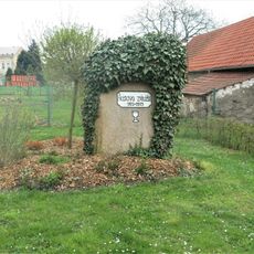
Husův pomník u obecního úřadu v Záboří nad Labem
3.2 km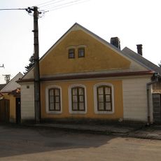
Usedlost čp. 29
3.2 km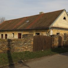
Dům čp. 57
3.2 km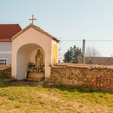
Kaplička u kostela v Záboří nad Labem
3.1 km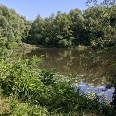
Lžovické tůně
1.4 km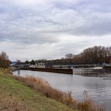
Zdymadlo Veletov
665 m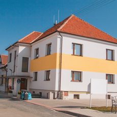
Obecní úřad Záboří nad Labem
3.2 kmReviews
Visited this place? Tap the stars to rate it and share your experience / photos with the community! Try now! You can cancel it anytime.
Discover hidden gems everywhere you go!
From secret cafés to breathtaking viewpoints, skip the crowded tourist spots and find places that match your style. Our app makes it easy with voice search, smart filtering, route optimization, and insider tips from travelers worldwide. Download now for the complete mobile experience.

A unique approach to discovering new places❞
— Le Figaro
All the places worth exploring❞
— France Info
A tailor-made excursion in just a few clicks❞
— 20 Minutes