
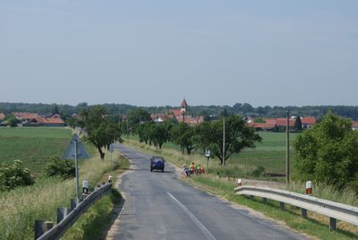
Ladná, village in Břeclav District of South Moravian region
Location: Břeclav
Location: Břeclav District
Location: Břeclav
Elevation above the sea: 160 m
Shares border with: Břeclav, Moravský Žižkov, Lednice, Podivín, Velké Bílovice
Email: info@obecladna.cz
Website: http://obecladna.cz
GPS coordinates: 48.80542,16.87230
Latest update: March 4, 2025 00:21
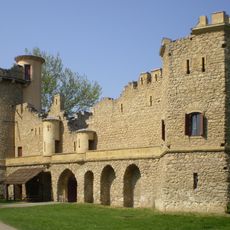
Janův hrad
2.9 km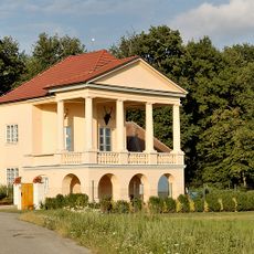
Hunting Lodge Lednice
3.1 km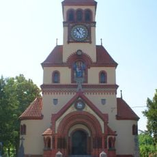
Church of Saint Michael the Archangel (Ladná)
66 m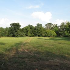
Přírodní park Niva Dyje
2.4 km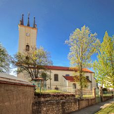
Church of Saints Peter and Paul (Podivín)
3 km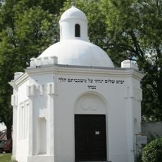
Jewish cemetery in Podivín
3.3 km
Synagoge
2.9 km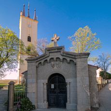
Chapel of Saints Cyril and Methodius
3 km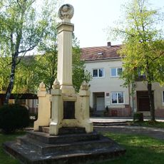
Pomník padlým při bojích o Podivín
2.9 km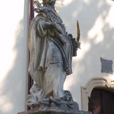
Statue of Saint Thecla
3 km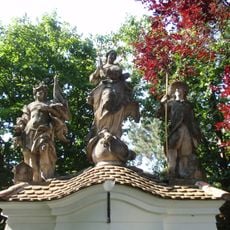
Statue of Immaculata in Podivín
3 km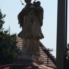
Statue of John of Nepomuk
3.1 km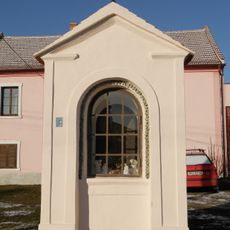
Chapel of Saint Anne
3.2 km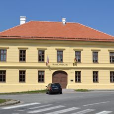
Former town hall in Podivín
3 km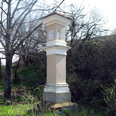
Boží muka
1 km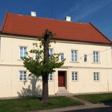
Rectory in Podivín
3 km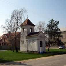
Chapel of Saint Michael
257 m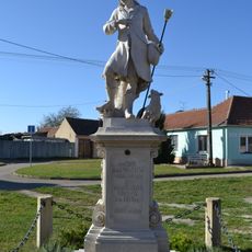
Socha svatého Vendelína
4.8 km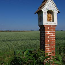
Boží muka
2.6 km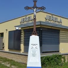
Wayside cross on Bratislavská st.
3 km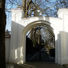
Cemetery gate in Podivín
3.3 km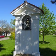
Chapel of Saint Wendelin
200 m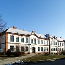
Elementary school
2.8 km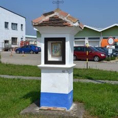
Wayside shrine on Bratislavská st.
2.9 km
Birth and Simultaneously Damnation of the Sphere
2.7 km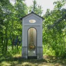
Chapel-shrine in Podivín
2.7 km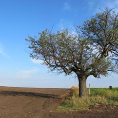
Platan javorolistý u Janova hradu
2.9 km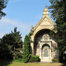
Hrobka rodiny Kuffner (Edlen von Kuffner)
4.4 kmVisited this place? Tap the stars to rate it and share your experience / photos with the community! Try now! You can cancel it anytime.
Discover hidden gems everywhere you go!
From secret cafés to breathtaking viewpoints, skip the crowded tourist spots and find places that match your style. Our app makes it easy with voice search, smart filtering, route optimization, and insider tips from travelers worldwide. Download now for the complete mobile experience.

A unique approach to discovering new places❞
— Le Figaro
All the places worth exploring❞
— France Info
A tailor-made excursion in just a few clicks❞
— 20 Minutes