Břeclav District

Log in to your account

AroundUs is a community-driven map of interesting places, built by curious explorers like you. It grows with every review, story, and photo you share.
Connect to save your favorite spots, contribute locations, and create personalized routes.
Continue with Google
Continue with Apple
Continue with X
Continue with Facebook
Continue with email
By continuing, you accept our Terms and Conditions and our Privacy Policy
Create an account
Add to collection
Map
Suggest a change
Share

Břeclav District, Administrative district in South Moravian Region, Czech Republic.

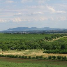
Břeclav District is an administrative area in the South Moravian Region spanning over 1,000 square kilometers of lowlands and rolling terrain. The district borders Austria to the south and Slovakia to the southeast, with the Morava and Thaya rivers running through its landscape.

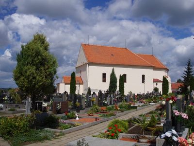
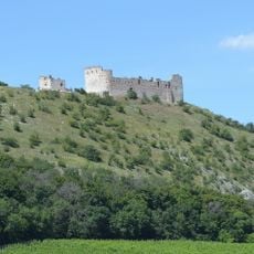
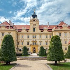
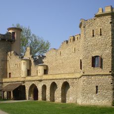
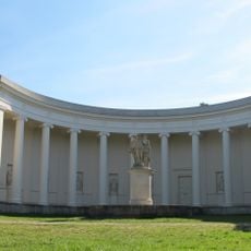
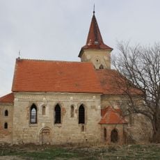
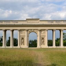
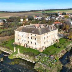
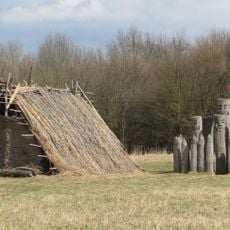
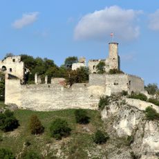
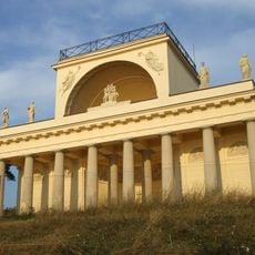
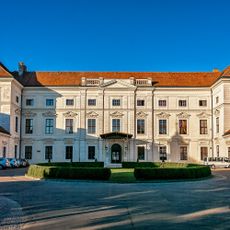
The area was settled as early as the 6th century when Slavic tribes established communities along the Morava and Thaya rivers. Later it became the center of noble domains where families built grand castles and gardens that survive to this day.

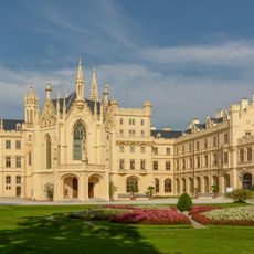
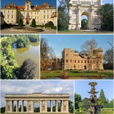
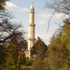
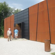
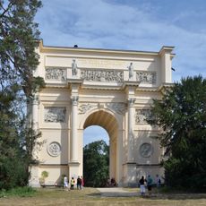
The district preserves the Lednice-Valtice Cultural Landscape, a mosaic of castles, gardens, and historic buildings that reflects how the nobility lived in past eras. These sites show how wealthy families adorned their estates with artworks and carefully designed parks.

The D2 motorway links the district to Brno and Slovakia, while multiple railway lines serve Vienna, Bratislava, and Prague. Spring and autumn are the best seasons to explore the area, offering comfortable weather and fewer crowds at the main sites.

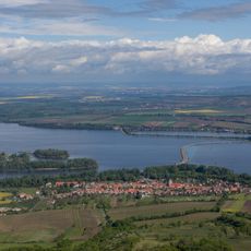
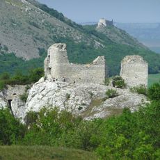
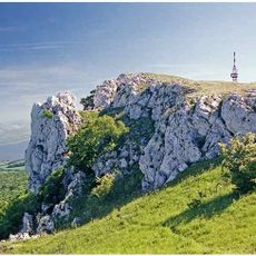
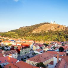
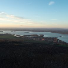
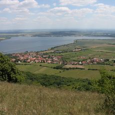
The area contains the Děvín peak rising to 550 meters, standing amid extensive vineyards that blanket the landscape. This region ranks among the warmest parts of the Czech Republic and produces wines of notable quality.

Location: South Moravian Region

Capital city: Břeclav

Shares border with: Znojmo District, Brno-Country District, Hodonín District, Vyškov District, Skalica District, Senica District

GPS coordinates: 48.75806,16.88778

Latest update: December 10, 2025 15:56

Photos
Reviews

Visited this place? Tap the stars to rate it and share your experience / photos with the community! Try now! You can cancel it anytime.

« Břeclav District - Administrative district in South Moravian Region, Czech Republic » is provided by Around Us (aroundus.com). Images and texts are derived from Wikimedia project under a Creative Commons license. You are allowed to copy, distribute, and modify copies of this page, under the conditions set by the license, as long as this note is clearly visible.

Discover hidden gems everywhere you go!

From secret cafés to breathtaking viewpoints, skip the crowded tourist spots and find places that match your style. Our app makes it easy with voice search, smart filtering, route optimization, and insider tips from travelers worldwide. Download now for the complete mobile experience.

Around Us App Screenshot

A unique approach to discovering new places

Le Figaro

All the places worth exploring

France Info

A tailor-made excursion in just a few clicks

20 Minutes